New Bern in Craven County, North Carolina — The American South (South Atlantic)
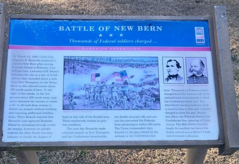
Battle of New Bern
Thousands of Federal soldiers charged...
| — | Burnside Expedition | — |
Photographed by Mike McKeown, January 16, 2026
1. Battle of New Bern Marker
The next day, Burnside made a frontal assault on Fort Thompon and the Confederate breastworks, but deadly accurate rifle and cannon fire prevented the Federals from advancing to within 300 yards. The Union Commanders then focused on the gap created by the setback in the Confederate line here. Thousands of Federal soldiers charged
this page online
(captions)
"Baptism of Fire" by Brian Kraus
Gen. Lawrence Branch • Gen. Ambrose Burnside
Erected by North Carolina Civil War Trails.
Topics and series. This historical marker is listed in this topic list: War, US Civil. In addition, it is included in the North Carolina Civil War Trails series list. A significant historical date for this entry is March 14, 1862.
Location. 35° 2.895′ N, 77° 0.943′ W. Marker is in New Bern, North Carolina, in Craven County. It can be reached from Battlefield Trail 0.2 miles south of Taberna Way, in the median. Located north of the New Bern Battlefield Park Visitor Center. Touch for map. Marker is at or near this postal address: 300 Battlefield Trail, New Bern NC 28560, United States of America. Touch for directions.

Regionally,
Photographed by Mike McKeown, January 16, 2026
2. Battle of New Bern Marker
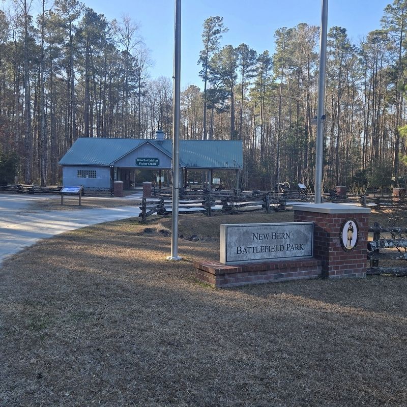
Marker is to the left of the image
Other nearby markers. At least 8 other markers are within walking distance of this marker: The Cost of War (a few steps from this marker); Artillery at New Bern (within shouting distance of this marker); From Annapolis to Roanoke (within shouting distance of this marker); Advance From Slocum's Creek (within shouting distance of this marker); Opening Volleys (within shouting distance of this marker); New Bern Battlefield Park (within shouting distance of this marker); The Burnside Expedition (within shouting distance of this marker); Breakthrough at the Brickyard (within shouting distance of this marker). Touch for a list and map of all markers in New Bern.
Also see . . .
1. New Bern Battlefield Park (New Bern Historical Society). (Submitted on January 16, 2026, by Mike McKeown of Baltimore, Maryland.)
2. Burnside Takes the Coast (American Battlefield Trust). (Submitted on January 16, 2026, by Mike McKeown of Baltimore, Maryland.)
Credits. This page was last revised on January 19, 2026. It was originally submitted on January 16, 2026, by Mike McKeown of Baltimore, Maryland. This page has been viewed 74 times since then. Photos: 1, 2. submitted on January 16, 2026, by Mike McKeown of Baltimore, Maryland. • Bernard Fisher was the editor who published this page.
