New Bern in Craven County, North Carolina — The American South (South Atlantic)
Opening Volleys

Photographed by Mike McKeown, January 16, 2026
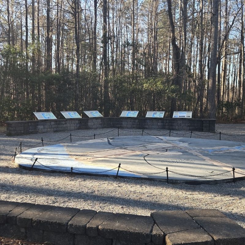
1. Opening Volleys Marker
Around 7:30 AM, Burnside's advance scouts on the Old Beaufort Road were fired upon by the cannon of Lieutenant Woodbury Wheeler, Latham's Battery. As that shot crashed through the forest, the men of Foster's Brigade quickened their pace and began to deploy along each side of the Old Beaufort Road. The cannon of McCook's naval battery were pulled into position by the 11th Connecticut and they opened fire as they arrived one at a time. Both armies were now engaged along a line from the Neuse River to the railroad.
Along the railroad, Reno's 2nd Brigade began their advance trying to outflank the Confederate lines. His lead regiment, the 21st Massachusetts,
this page online
(captions)
Brigadier General John G. Foster 1st Brigade
1st Lieutenant Woodbury Wheeler, Jr. Latham's Battery
Situation at 7:00 to 8:00 AM
Erected by New Bern Historical Society. (Marker Number G5.)
Topics. This historical marker is listed in this topic list: War, US Civil. A significant historical date for this entry is March 14, 1862.
Location. 35° 2.874′ N, 77° 0.944′ W. Marker is in New Bern, North Carolina, in Craven County. It can be reached from Battlefield Trail 0.2 miles south of Taberna Way, on the right when traveling south. One of several markers located south of the New Bern Battlefield Park Visitor Center. Touch for map. Marker is at or near this postal address: 300 Battlefield Trail, New Bern NC 28560, United States of America. Touch for directions.

Regionally,
Photographed by Mike McKeown, January 16, 2026
2. Opening Volleys Marker
Marker is on the far left
Other nearby markers. At least 8 other markers are within walking distance of this marker: New Bern Battlefield Park (here, next to this marker); The Burnside Expedition (here, next to this marker); Advance From Slocum's Creek (here, next to this marker); From Annapolis to Roanoke (a few steps from this marker); Breakthrough at the Brickyard (a few steps from this marker); Final Stand (a few steps from this marker); Artillery at New Bern (a few steps from this marker); Battle of New Bern (within shouting distance of this marker). Touch for a list and map of all markers in New Bern.
Also see . . .
1. New Bern Battlefield Park (New Bern Historical Society).
Library of Congress
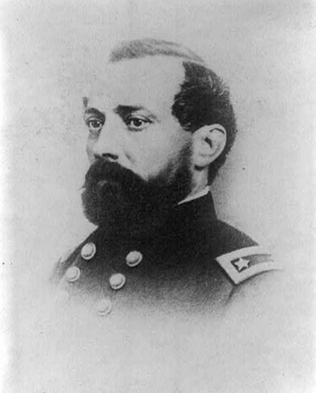
3. Union Gen. Jesse L. Reno
Reno was later killed at the Battle of South Mountain in the fall of 1862.
2. Battle of New Bern (Wikipedia). (Submitted on January 17, 2026, by Mike McKeown of Baltimore, Maryland.)
Credits. This page was last revised on January 19, 2026. It was originally submitted on January 17, 2026, by Mike McKeown of Baltimore, Maryland. This page has been viewed 68 times since then. Photos: 1, 2, 3. submitted on January 17, 2026, by Mike McKeown of Baltimore, Maryland. • Bernard Fisher was the editor who published this page.
