Olde Towne in Portsmouth, Virginia — The American South (Mid-Atlantic)
Gosport Navy Yard
Birthplace of the CSS Virginia
| — | 1862 Peninsula Campaign | — |
Photographed by Scott Rollins, June 23, 2009
1. Gosport Navy Yard Marker
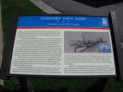
Gosport Navy Yard was first established in 1767 by British naval agent Andrew Sprowle. It was occupied by patriot forces in 1775 and operated as a shipyard by the Virginia State Navy. Gosport, the largest shipyard in America, was burned by the British in 1779 when they occupied Portsmouth.
In 1794 the yard was loaned to the U.S. Government and purchased by the U.S. Navy Department in 1801. The USS Chesapeake was one of a group of six frigates authorized by Congress to “Provide a Naval Armament,” and was the first ship built at Gosport Navy Yard in 1798 – 1799. On June 17, 1833, the 74-gun ship-of-the-line USS Delaware entered the newly completed Dry Dock No. 1. The Delaware was the first ship to enter a dry dock in America.
When Virginia left the Union, the U.S. Navy evacuated and burned the yard. Gosport was immediately
this page online
The steam frigate Merrimack, with 40 guns, had been under repair at Gosport and during the Federal evacuation was burned and sunk. The Confederates raised it, placed it in Dry Dock No. 1 and from designs drawn by Naval Constructor John L. Porter, a Portsmouth native, converted it into the ironclad CSS Virginia. While on its trial in Hampton Roads, Virginia sank the USS Cumberland and USS Congress on March 8, 1862. On the next day it fought the ironclad USS Monitor, proving that wooden warships were obsolete.
Gosport Navy Yard produced several other gunboats and part of another ironclad, the CSS Richmond. On May 10, 1862, the yard was burned again, this time by the evacuating Confederates and immediately reoccupied by the U.S. Navy. The Union controlled Gosport during the rest of the war.
Erected by Virginia Civil War Trails.
Topics and series. This historical marker is listed in this topic list: War, US Civil. In addition, it is included in the Virginia Civil War Trails series list. A significant historical month for this entry is March 1912.
Location. This marker has been replaced by another marker nearby. It was located near 36° 49.992′ N, 76° 17.762′ W. Marker was in Portsmouth, Virginia. It was in Olde Towne. It was on Columbia Street east of Water Street, on the right when traveling east. Touch for map. Marker was in this post office area: Portsmouth VA 23704, United States of America. Touch for directions.

Regionally, this marker was in Hampton Roads, specifically in Coastal Virginia, and in the Hampton Roads Metropolitan Area. It was also in the American South, specifically in the Upper South, in the Tidewater, and on the Eastern Seaboard. Globally, it was in the North Atlantic Region, North America, the Western Hemisphere, the Western World, and the Anglosphere. Historically, it found itself in what was once the territory of the Mississippian Culture, one of the original Thirteen Colonies, one of the Confederate States of America, and the Antebellum South.
Other nearby markers. At least 8 other markers are within walking distance of this location: The Elizabeth River (about 500 feet away, measured in a direct line); In Commemoration of the Last Public Appearance of William F. “Buffalo Bill” Cody (about 500 feet away); First Order Fresnel Lens from the Hog Island Light (about 600 feet away); Gosport Shipyard (about 700 feet away); Seaboard Air Line Railroad (about 700 feet away); Portsmouth Medal of Honor Memorial (approx. 0.2 miles away); John Luke Porter (approx. 0.2 miles away); Home Site of William Crawford (d. 1762) Founder of Portsmouth (approx. 0.2 miles away). Touch for a list and map of all markers in Portsmouth.
More about this marker. On the right is a drawing titled "Remodeling the Merrimack" by J.O. Davidson. An inset to the drawing is an illustration titled "View in the Harbor of Portsmouth" by Henry Howe.
Related marker. Click here for another marker that is related to this marker. New Replacemnent CWT Marker Near This Location titled "Gosport Shipyard".
Credits. This page was last revised on January 19, 2026. It was originally submitted on July 27, 2009, by Kristin Rollins of Portsmouth, Virginia. This page has been viewed 3,390 times since then and 91 times this year. Last updated on January 18, 2026, by Mike McKeown of Baltimore, Maryland. Photo 1. submitted on July 27, 2009, by Kristin Rollins of Portsmouth, Virginia. • Bernard Fisher was the editor who published this page.
