Near Shelton in Mason County, Washington — The American West (Northwest)
Jarrell's Cove Cemetery
Photographed by Shirley A Stirling, February 12, 2024
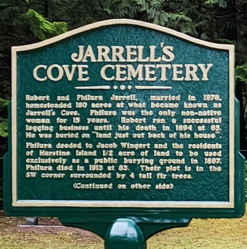
1. Jarrell's Cove Cemetery Marker
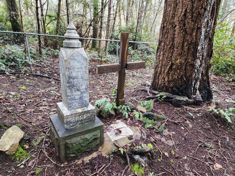
Philura deeded to Jacob Wingert and the residents of Harstine Island 1/2 acre of land to be used exclusively as a public burying ground in 1897. Philure died in 1913 at 83. Their plot is in the SW corner surrounded by 4 tall fir trees.
Topics. This historical marker is listed in this topic list: Cemeteries & Burial Sites. A significant historical year for this entry is 1878.
Location. 47° 16.519′ N, 122° 53.539′ W. Marker is near Shelton, Washington, in Mason County. It is at the intersection of East North Island Drive and Cemetery Road on East North Island Drive. Touch for map. Marker is at or near this postal address: 3020 E North Island Dr, Shelton WA 98584, United States of America. Touch for directions.

Regionally, this marker is in Washington’s Olympic Peninsula and in the Puget Sound Region. It is also on the American
this page online
Other nearby markers. At least one other marker is within 17 miles of this marker, measured as the crow flies: Dofflemyer Point Lighthouse - Boston Harbor - Washington State (approx. 9.4 miles away).
Another marker is no longer nearby. Site of the Medicine Creek Treaty (was approx. 16.2 miles away but has been permanently removed).
Photographed by Shirley A Stirling, February 12, 2024
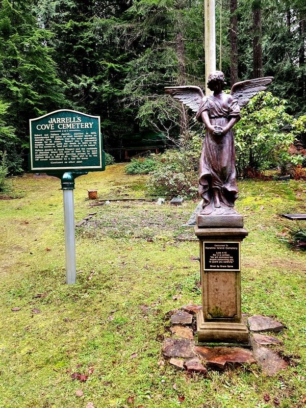
2. Jarrell's Cove Cemetery Marker
Photographed by Shirley A Stirling, February 12, 2024
3. Jarrell's grave.
Photographed by Shirley A Stirling, February 12, 2024
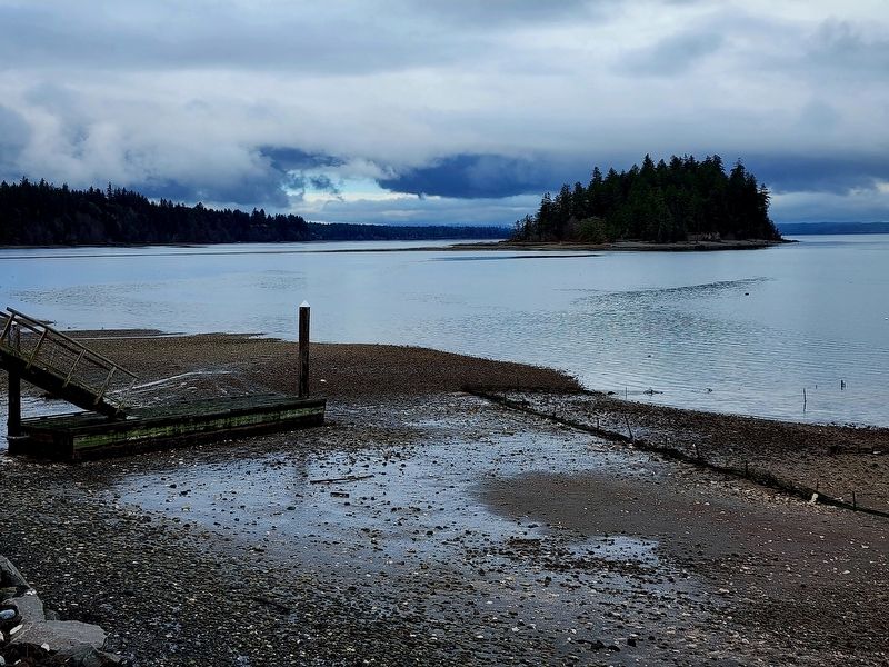
4. The cemetery is near the water.
Credits. This page was last revised on January 19, 2026. It was originally submitted on January 19, 2026, by Shirley A Stirling of Lacey, Washington. This page has been viewed 59 times since then. Photos: 1, 2, 3, 4. submitted on January 19, 2026, by Shirley A Stirling of Lacey, Washington. • James Hulse was the editor who published this page.
Editor’s want-list for this marker. A closeup photo of reverse side of the marker and the text from the reverse side • Can you help?
