Terry Sanford in Fayetteville in Cumberland County, North Carolina — The American South (South Atlantic)
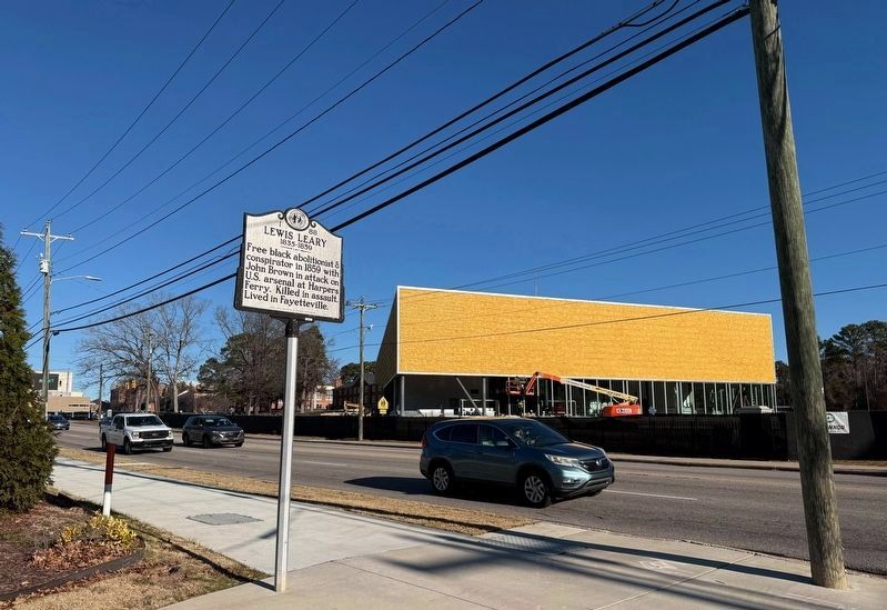
Lewis Leary
1835 - 1859

Erected 2010 by North Carolina Office of Archives and History. (Marker Number I-88.)
Topics and series. This historical marker is listed in these topic lists: Abolition & Underground RR • African Americans. In addition, it is included in the North Carolina Division of Archives and History series list. A significant historical year for this entry is 1859.
Location. 35° 4.106′ N, 78° 53.521′ W. Marker is in Fayetteville, North Carolina, in Cumberland County. It is in Terry Sanford. It is at the intersection of Murchison Road (North Carolina Route 210) and Washington Drive, on the right when traveling south on Murchison Road. Touch for map. Marker is at or near this postal address: 901 Murchison Rd, Fayetteville NC 28301, United States of America. Touch for directions.

Regionally, this marker is in the Coastal Plain. It is also in the American South and specifically in the Upper South. Globally, it is in North America, the Western Hemisphere, the Western World,
this page online
Other nearby markers. At least 8 other markers are within walking distance of this marker: Fayetteville State University (approx. ¼ mile away); Hiram R. Revels (approx. ¼ mile away); U.S. Arsenal (approx. 0.9 miles away); Americans Who Care POW-MIA Memorial (approx. 0.9 miles away); Currahee Rocks (approx. 0.9 miles away); World War II Memorial (approx. 0.9 miles away); Freedom Park Cumberland County Veterans Monument (approx. 0.9 miles away); Korean War Memorial (approx. 0.9 miles away). Touch for a list and map of all markers in Fayetteville.
Credits. This page was last revised on January 19, 2026. It was originally submitted on January 19, 2026, by Devry Becker Jones of Washington, District of Columbia. This page has been viewed 40 times since then. Photos: 1, 2. submitted on January 19, 2026, by Devry Becker Jones of Washington, District of Columbia.
