Near Richmond in Henrico County, Virginia — The American South (Mid-Atlantic)
Old Dominion Building
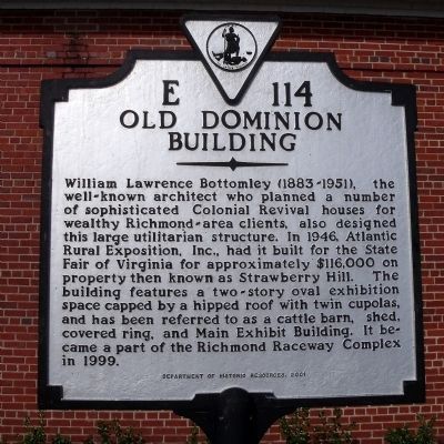
Photographed by Bernard Fisher, March 27, 2010
1. Old Dominion Building Marker
Erected 2001 by Department of Historic Resources. (Marker Number E-114.)
Topics and series. This historical marker is listed in this topic list: Architecture. In addition, it is included in the Virginia Department of Historic Resources (DHR) series list. A significant historical year for this entry is 1946.
Location. 37° 35.28′ N, 77° 25.184′ W. Marker is near Richmond, Virginia, in Henrico County. It can be reached from the intersection of East Laburnum Avenue (Virginia Route 197) and Richmond Henrico Turnpike (County
this page online

Regionally, this marker is in the Piedmont and in Central Virginia. It is also in the American South, specifically in the Upper South, and on the Eastern Seaboard. Globally, it is in the North Atlantic Region, North America, the Western Hemisphere, the Western World, and the Anglosphere. Historically, it finds itself in what was once the territory of the Mississippian Culture, one of the original Thirteen Colonies, one of the Confederate States of America, and the Antebellum South.
Other nearby markers. At least 8 other markers are within 2 miles of this marker, measured as the crow flies: Italians in Richmond (approx. 0.8 miles away); Emek Sholom Holocaust Memorial (approx. one mile away); Gabriel Freedom Park (approx. 1.1 miles away); First Lieutenant Jimmie W. Monteith, Jr. (approx. 1.2 miles away); Washington Park Community (approx. 1.3 miles away); From the rind to the seed, Palestine will be free. (approx. 1.4
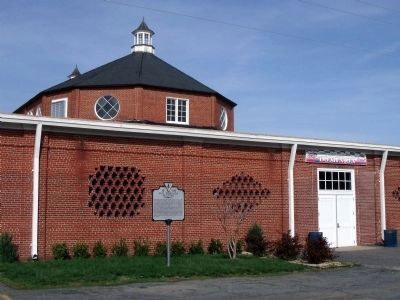
Photographed by Bernard Fisher, March 27, 2010
2. Old Dominion Building Marker
Other markers no longer nearby. Richmond Defences (was approx. 1½ miles away but has been confirmed missing); Intermediate Defenses (was approx. 1½ miles away but has been confirmed missing).
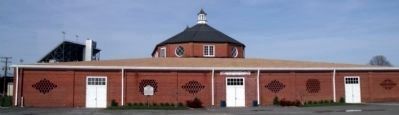
Photographed by Bernard Fisher, March 27, 2010
3. Old Dominion Building (south wall)
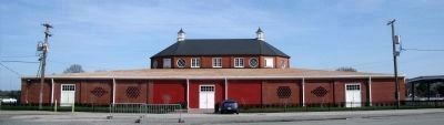
Photographed by Bernard Fisher, March 27, 2010
4. Old Dominion Building (west wall)
Credits. This page was last revised on January 25, 2020. It was originally submitted on March 27, 2010, by Bernard Fisher of Richmond, Virginia. This page has been viewed 1,815 times since then and 82 times this year. Photos: 1, 2, 3, 4. submitted on March 27, 2010, by Bernard Fisher of Richmond, Virginia.
