King George in King George County, Virginia — The American South (Mid-Atlantic)
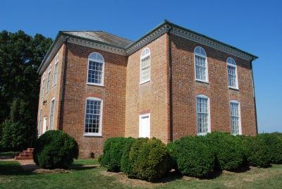
St. Paulís Church
Erected 1928 by Department of Historic Resources. (Marker Number J-65.)
Topics and series. This historical marker is listed in these topic lists: Churches & Religion • Colonial Era. In addition, it is included in the Virginia Department of Historic Resources (DHR) series list. A significant historical year for this entry is 1766.
Location. 38° 16.589′ N, 77° 12.257′ W. Marker is in King George, Virginia, in King George County. Marker is on Kingís Highway (Virginia Route 3), on the left when traveling east. Touch for map. Marker is in this post office area: King George VA 22485, United States of America. Touch for directions.
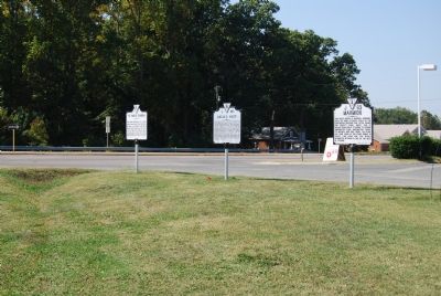
Other nearby markers. At least 8 other markers are within 4 miles of this marker, measured as the crow flies. Eagleís Nest (here, next to this marker); Marmion (here, next to this marker); King George Confederate Monument (approx. 1Ĺ miles away); World War I Memorial (approx. 1Ĺ miles away); Lambís Creek Church (approx. 3Ĺ miles away); Hanover Baptist Church (approx. 3Ĺ miles away); Veterans Memorial (approx. 3.6 miles away); Ralph Bunche High School (approx. 3.6 miles away). Touch for a list and map of all markers in King George.
Credits. This page was last revised on June 16, 2016. It was originally submitted on October 12, 2007, by Dawn Bowen of Fredericksburg, Virginia. This page has been viewed 2,950 times since then and 51 times this year. Photos: 1, 2, 3. submitted on October 12, 2007, by Dawn Bowen of Fredericksburg, Virginia. • J. J. Prats was the editor who published this page.


