Ludwigsvorstadt-Isarvorstadt in München, Bavaria, Germany — Central Europe
St. Maximilian Hospital and Monastery
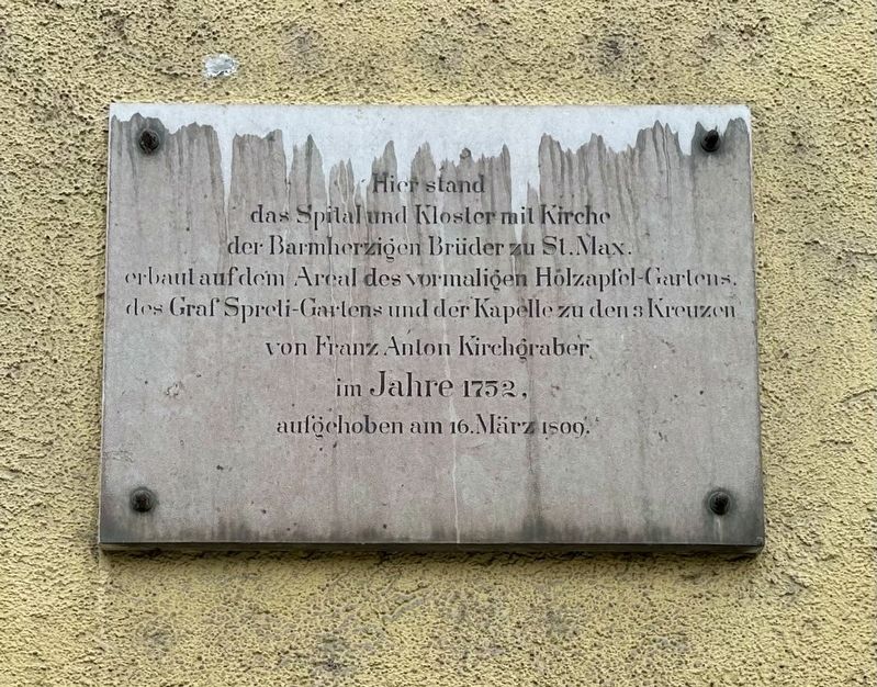
Photographed by Andrew Ruppenstein, March 14, 2025
1. St. Maximilian Hospital and Monastery Marker

Topics. This historical marker is listed in these topic lists: Charity & Public Work • Religion & Religious Structures • Science & Medicine. A significant historical date for this entry is March 16, 1809.
Location. 48° 7.949′ N, 11° 33.744′ E. Marker is in München, Bayern (Bavaria). It is in Ludwigsvorstadt-Isarvorstadt. It is on Ziemssenstraße, on the right when traveling south. Touch for map. Marker is at or near this postal address: Ziemssenstraße 1, München BY 80336, Germany. Touch for directions.

Regionally, it is in Europe, the European Union, Atlantic Europe, Central Europe,
this page online
Other nearby markers. At least 8 other markers are within walking distance of this marker: Allgemeines Krankenhaus / General Hospital (a few steps from this marker); Franz Marc (approx. 0.4 kilometers away); Alter Südlicher Friedhof / Old Southern Cemetery (approx. 0.4 kilometers away); Reserve-Feldartillerie-Regiment 6 WWI Memorial (approx. 0.4 kilometers away); a different marker also named Franz Marc (approx. 0.7 kilometers away); Die Aussegnungshalle / The Funeral Chapel (approx. 0.7 kilometers away); Christian and Wilhelm Graf von Forbach (approx. 0.7 kilometers away); Albert Einstein (approx. 0.8 kilometers away). Touch for a list and map of all markers in München.
Also see . . . Krankenhaus Barmherzige Brüder (München) (Wikipedia, in German). Article on the Krankenhaus Barmherzige Brüder (“Brothers of Mercy Hospital”) in Munich, with a small blurb on its predecessor (the subject of this marker). Excerpt (in translation):
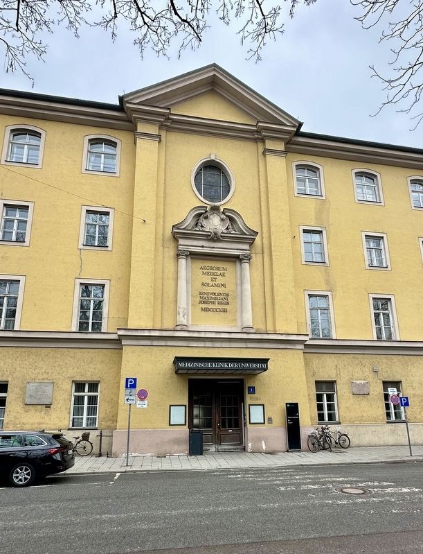
As early as the 18th century, the order ran the St. Maximilian(Submitted on January 21, 2026.)Hospital at Sendlinger Tor. However, the hospital and the associated medical school were dissolved as part of the secularization.Photographed by Andrew Ruppenstein, March 14, 20252. St. Maximilian Hospital and Monastery Marker - wide viewThe marker is visible here to the right of the entrance.
Photographed by Andrew Ruppenstein, March 14, 2025
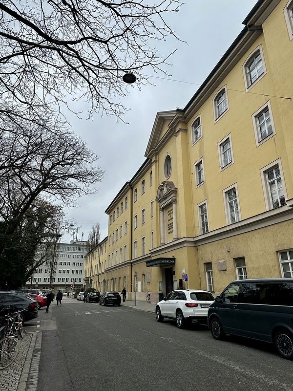
3. St. Maximilian Hospital and Monastery Marker - wider view
Credits. This page was last revised on January 21, 2026. It was originally submitted on January 21, 2026, by Andrew Ruppenstein of Lamorinda, California. This page has been viewed 29 times since then. Photos: 1, 2, 3. submitted on January 21, 2026, by Andrew Ruppenstein of Lamorinda, California.
