Near Bryan in Brazos County, Texas — The American South (West South Central)
Alexander Cemetery
Photographed by Jeff Leichsenring, January 19, 2026
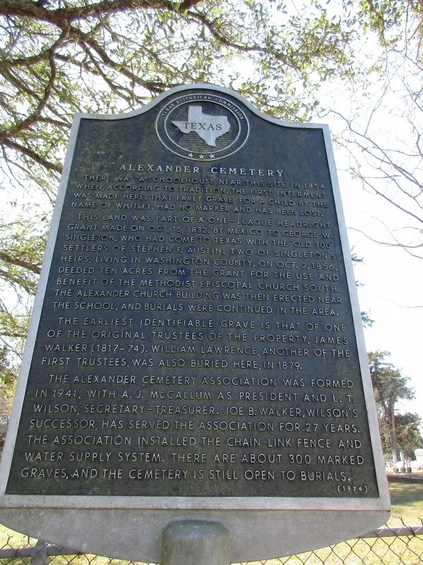
1. Alexander Cemetery Marker
This land was part of a one-league headright grant made on Oct. 15, 1832, by Mexico to George W. Singleton, who had come to Texas with the "Old 300" settlers of Stephen F. Austin. Two of Singleton's heirs, living in Washington County, on Oct. 2, 1856, deeded ten acres from the grant for the use and benefit of the Methodist Episcopal Church South. The Alexander Church building was then erected near the school, and burials were continued in the area.
The earliest identifiable grave is that of one of the original trustees of the property, James Walker (1817-74). William Lawrence, another of the first trustees, was also buried here, in 1879.
The Alexander Cemetery Association was formed in 1941, with A.J. McCallum as President and L.T. Wilson, Secretary-Treasurer. Joe B. Walker, Wilson's successor, has served the association for 27 years. The association installed the chain link fence and water supply system. There are
this page online
Erected 1974 by Texas Historical Commission. (Marker Number 8659.)
Topics. This historical marker is listed in this topic list: Cemeteries & Burial Sites. A significant historical year for this entry is 1854.
Location. 30° 46.844′ N, 96° 23.034′ W. Marker is near Bryan, Texas, in Brazos County. It is on Alexander Road one mile west of Farm to Market Road 974. Touch for map. Marker is at or near this postal address: 5300 Alexander Cemetery Rd, Bryan TX 77808, United States of America. Touch for directions.

Regionally, this marker is in the Prairies & Lakes Region. It is also in the American South. Globally, it is in North America, a Gulf of Mexico state, the Western Hemisphere, the Western World, and the Anglosphere. Historically, it finds itself in what was once New Spain, the Republic of Texas, one of the Confederate States of America, and the Antebellum South.
Other nearby markers. At least 8 other markers are within 7 miles of this marker, measured as the crow flies: Kings Highway Camino Real — Old San Antonio Road (approx. 3.2 miles away); Albert Gallatin
Photographed by Jeff Leichsenring, January 19, 2026
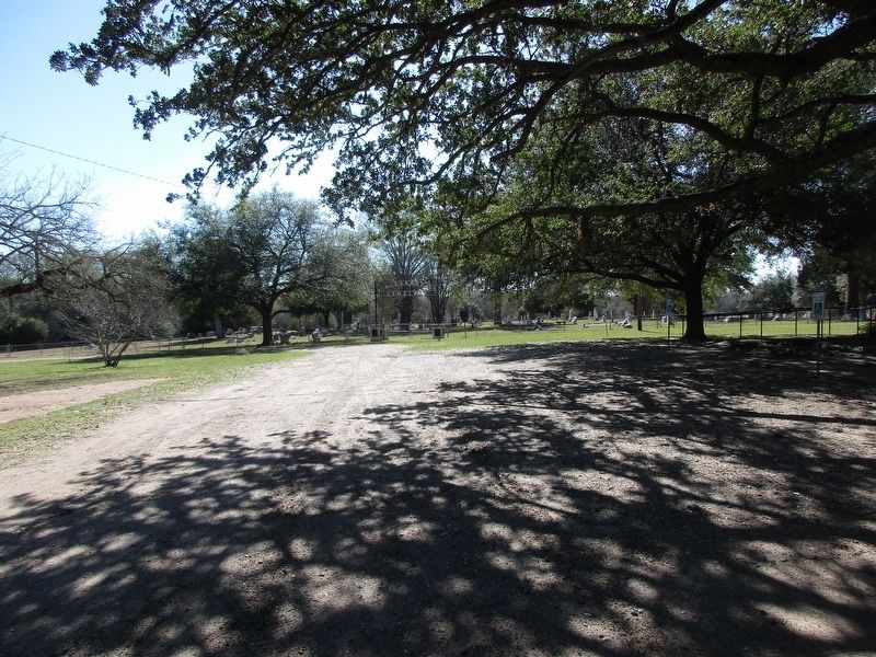
2. Alexander Cemetery and marker
Credits. This page was last revised on January 22, 2026. It was originally submitted on January 21, 2026, by Jeff Leichsenring of Garland, Texas. This page has been viewed 40 times since then. Photos: 1, 2. submitted on January 21, 2026, by Jeff Leichsenring of Garland, Texas. • James Hulse was the editor who published this page.
