Near Waelder in Gonzales County, Texas — The American South (West South Central)
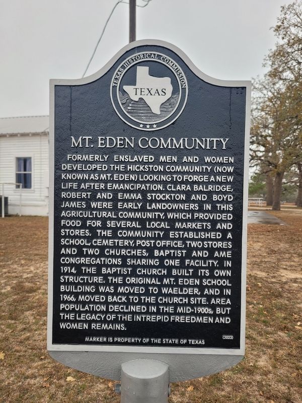
Mt. Eden Community
Photographed by James Hulse, January 21, 2026
1. Mt. Eden Community Marker
Erected 2023 by Texas Historical Commission. (Marker Number 23845.)
Topics. This historical marker is listed in these topic lists: African Americans • Agriculture • Education • Settlements & Settlers. A significant historical year for this entry is 1914.
Location. 29° 36.177′ N, 97° 16.558′ W. Marker is near Waelder, Texas, in Gonzales County. It is on Farm to Market Road 2814 0.1 miles east of County Road 408,
this page online

Regionally, this marker is in the Hill Country. It is also in the American South. Globally, it is in North America, a Gulf of Mexico state, the Western Hemisphere, the Western World, and the Anglosphere. Historically, it finds itself in what was once New Spain, the Republic of Texas, one of the Confederate States of America, and the Antebellum South.
Other nearby markers. At least 8 other markers are within 7 miles of this marker, measured as the crow flies: Saturn Cemetery (approx. 4 miles away); Culak's School (approx. 5.8 miles away); Waelder City Cemetery (approx. 6 miles away); Ralph Bunche High School (approx. 6 miles away); Old Moulton (approx. 6.1 miles away); Old Moulton Baptist Church (approx. 6.1 miles away); The Town of Waelder (approx. 6.4 miles away); Hopkinsville Lodge No. 183, A.F. & A.M. (approx. 6.4 miles away). Touch for a list and map of all markers in Waelder.
Photographed by James Hulse, January 21, 2026
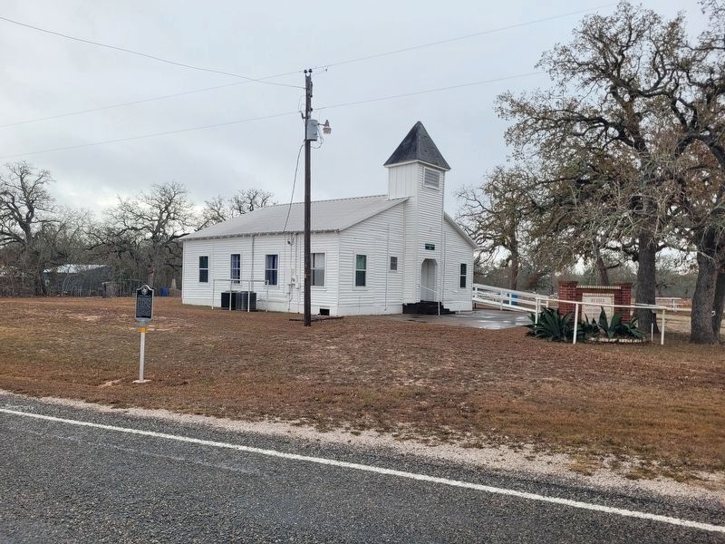
2. Mt. Eden Community and Marker
The view of the marker with the Mt. Eden Baptist Church in the background.
Photographed by James Hulse, January 21, 2026
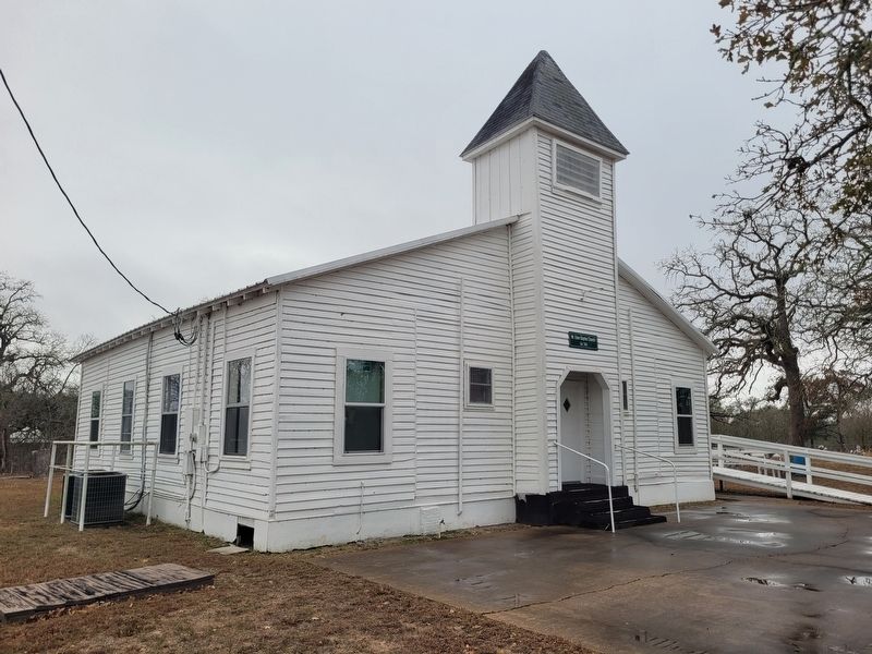
3. Mt. Eden Baptist Church
Photographed by James Hulse, January 21, 2026
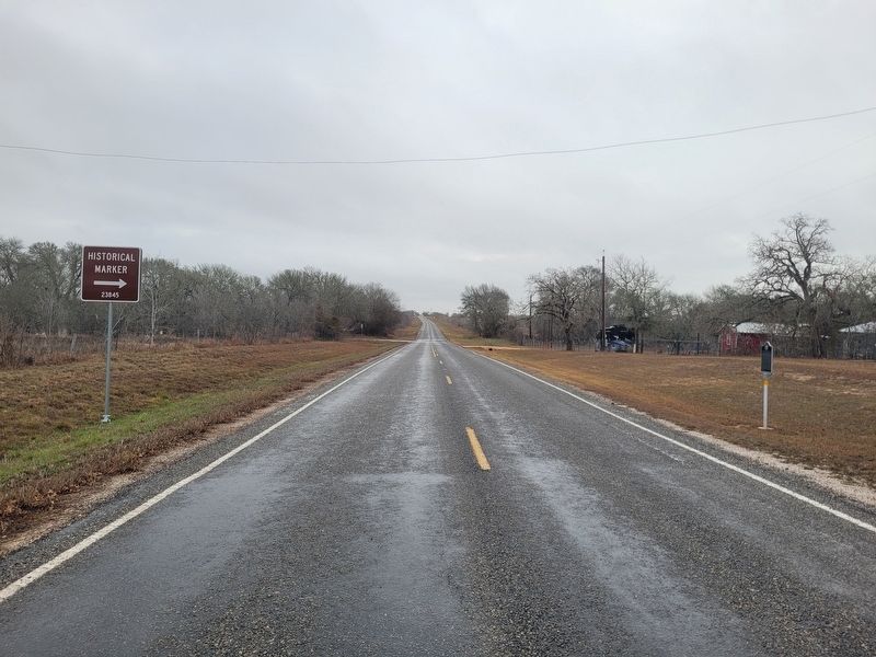
4. Mt. Eden Community Marker
The view of the directional sign and marker along the highway.
Credits. This page was last revised on January 22, 2026. It was originally submitted on January 21, 2026, by James Hulse of Medina, Texas. This page has been viewed 49 times since then. Photos: 1, 2, 3, 4. submitted on January 22, 2026, by James Hulse of Medina, Texas.
