Sidell in Arcadia in DeSoto County, Florida — The American South (South Atlantic)
Joshua Creek Church and Joshua Creek Cemetery
Photographed by James Hulse, January 14, 2026
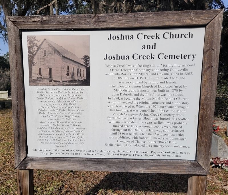
1. Joshua Creek Church and Joshua Creek Cemetery Marker
According to an entry written in the second Thomas O. Parker Bible by Grace Parker Walker in the presence of her parents Thomas O. Parker and Sarah Blount Parker, the following eight men contributed varying sums totaling $50.00: Captain John Parker, Captain John Whidden, Lewis H. Parker, Thomas Owen Parker, J. Newton Parker, Cab Hendry, Charles Hendry, and Hugh Corley. On November 15, 1880, the Trustees of the Mount Moriah Church Lewis H. Parker, Robert C. Hendry, and John W. Whidden -- purchased 40 acres of land for $1.00/acre from the Internal Improvement Fund of Florida: the SE 1/4 of the SW 1/4 of Section 10, Township 38 South, Range 25 East. The church was here -- the southernmost part of the cemetery's "Section 3."
Erected by Anthony
this page online
Topics. This historical marker is listed in this topic list: Cemeteries & Burial Sites. A significant historical date for this entry is November 15, 1880.
Location. 27° 10.935′ N, 81° 48.168′ W. Marker is in Arcadia, Florida, in DeSoto County. It is in Sidell. It is on County Road 760 0.1 miles west of SE Hansel Ave. Touch for map. Marker is at or near this postal address: 4354 Co Rd 760, Arcadia FL 34266, United States of America. Touch for directions.

Regionally, this marker is in the American South. Globally, it is in the North Atlantic Region, North America, a Gulf of Mexico state, the Western Hemisphere, the Western World, and the Anglosphere. Historically, it finds itself in what was once New Spain, the territory of the Mississippian Culture, one of the Confederate States of America, and the Antebellum South.
Other nearby markers. At least 8 other markers are within 6 miles of this marker, measured as the crow flies: DeSoto County World War I Memorial (approx. 4.1 miles away); DeSoto County Veterans Memorial Flag Pole (approx. 4.1 miles away); DeSoto County War Memorial (approx. 4.1 miles away); DeSoto County (approx. 4.1 miles away); Arcadia Historic District (approx. 4.2 miles away); Arcadia City Hall (approx. 4.4 miles away); Florida Baptist Orphanage (approx. 4½ miles away); Arcadia Oak Ridge Cemetery (approx. 5.1 miles away). Touch for a list and map of all markers in Arcadia.
Photographed by James Hulse, January 14, 2026
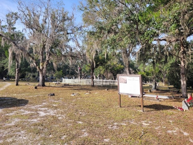
2. Joshua Creek Church and Joshua Creek Cemetery Marker
The view of the marker in the cemetery.
Photographed by James Hulse, January 14, 2026
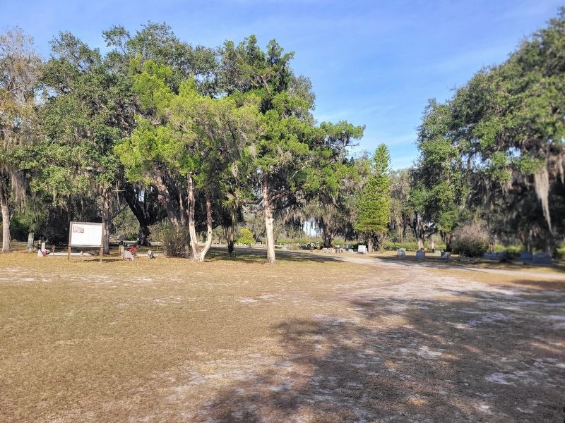
3. Joshua Creek Church and Joshua Creek Cemetery Marker
The view of the marker along the entrance road to the cemetery.
Credits. This page was last revised on January 22, 2026. It was originally submitted on January 22, 2026, by James Hulse of Medina, Texas. This page has been viewed 51 times since then. Photos: 1, 2, 3. submitted on January 22, 2026, by James Hulse of Medina, Texas.
