
Cascade Locks in Hood River County, Oregon — The American West (Northwest)
Construction of the Columbia River Highway
Photographed by Mike Garland, October 15, 2020
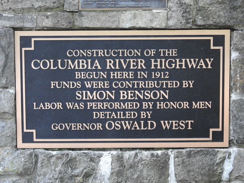
1. Construction of the Columbia River Highway Marker
Construction of the Columbia River Highway begun here in 1912
Funds were contributed by Simon Benson
Labor was performed by honor men detailed by Governor Oswald West
Topics. This historical marker is listed in this topic list: Roads & Vehicles. A significant historical year for this entry is 1912.
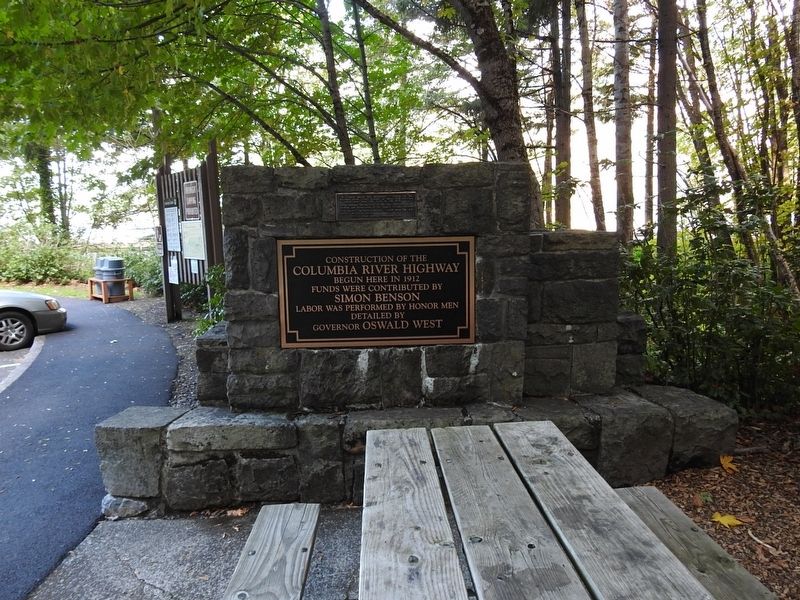
Location. 45° 41.303′ N, 121° 41.419′ W. Marker is in Cascade Locks, Oregon, in Hood River County. It can be reached from Historic Columbia River Highway State Trail. Marker is located at the trailhead parking area for the path to Starvation Creek Falls. Touch for map. Marker is in this post office area: Cascade Locks OR 97014, United States of America. Touch for directions.

Regionally, this marker is in the Columbia River Gorge and in Greater Portland Area. It is also on the American Pacific Coast, in the Pacific Northwest, and in the Lewis & Clark Corridor. Globally, it is in North America, in the Cascade Range, on the Ring of Fire, in the Pacific Rim, in the Western Hemisphere, in the Western World, and in the Anglosphere.
Other nearby markers. At least 8 other markers are within 9 miles of this marker, measured
this page online
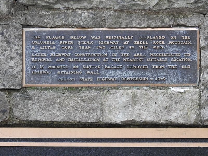
More about this marker. The original location of this plaque was at Shellrock Mountain. In 1969 it was moved to Starvation Creek. The plaque was stolen around 2000, and the Oregon Department Of Transportation (ODOT) replaced it with this replica.
Also see . . . Historic Columbia River Highway (Wikipedia). Overview:
The Historic Columbia River Highway is an approximately 75-mile-long (121 km) scenic highway in the U.S. state of Oregon between Troutdale and The Dalles, built through the Columbia River Gorge between 1913 and 1922. As the first planned scenic roadway in the United States, it has been recognized in numerous ways, including being listed on the National Register of Historic Places, being(Submitted on January 26, 2026.)designated as a National Historic Landmark by the U.S. Secretary of the Interior, being designated as a National Historic Civil Engineering Landmark by the American Society of Civil Engineers, and being considered a "destination unto itself" as an All-American Road by the U.S. Secretary of Transportation.…Photographed by Mike Garland, October 15, 20202. Construction of the Columbia River Highway Marker
Photographed by Mike Garland, October 15, 2020
3. Construction of the Columbia River Highway Marker
Credits. This page was last revised on January 26, 2026. It was originally submitted on January 22, 2026, by Mike Garland of Hillsboro, Oregon. This page has been viewed 41 times since then. Photos: 1, 2, 3. submitted on January 22, 2026, by Mike Garland of Hillsboro, Oregon. • Andrew Ruppenstein was the editor who published this page.
