Tehuacana in Limestone County, Texas — The American South (West South Central)
Tehuacana Cemetery
Photographed by Jeff Leichsenring, January 19, 2026
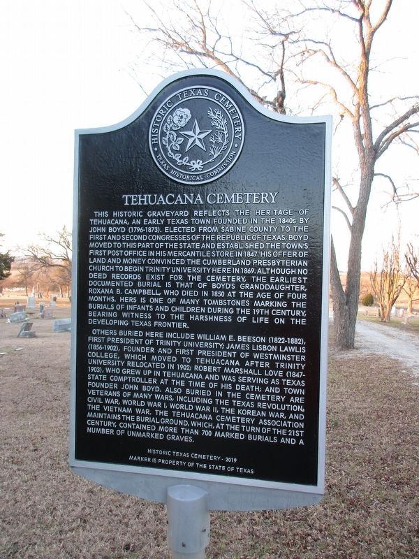
1. Tehuacana Cemetery Marker
Replacement marker
This historic graveyard reflects the heritage of Tehuacana, an early Texas town founded in the 1840s by John Boyd (1796-1873). Elected from Sabine County to the First and Second Congresses of the Republic of Texas, Boyd moved to this part of the state and established the town's first post office in his mercantile store in 1847. His offer of land and money convinced the Cumberland Presbyterian Church to begin Trinity University here in 1869. Although no deed record exists for the cemetery, the earliest documented burial is that of Boyd's granddaughter, Roxana B. Campbell, who died in 1850 at the age of four months. Hers is one of many tombstones marking the burials of infants and children during the 19th century, bearing witness to the harshness of life on the developing Texas frontier.
Others buried here include William E. Beeson (1822-1882), first president of Trinity University; James Lisbon Lawlis (1856-1902), founder and first president of Westminster College, which moved to Tehuacana after Trinity University relocated in 1902; Robert Marshall Love (1847-1903), who grew up in Tehuacana and was serving as Texas
this page online
Erected 2019 by Texas Historical Commission. (Marker Number 12580.)
Topics. This historical marker is listed in this topic list: Cemeteries & Burial Sites. A significant historical year for this entry is 1847.
Location. 31° 45.158′ N, 96° 32.713′ W. Marker is in Tehuacana, Texas, in Limestone County. It can be reached from the intersection of Cemetery Road (County Route 226) and Westminster Street, on the right when traveling west. Marker is inside Tehuacana Cemetery. Touch for map. Marker is at or near this postal address: 311 Cemetery Road, Mexia TX 76667, United States of America. Touch for directions.

Regionally, this marker is in the Prairies & Lakes Region. It is also in the American South. Globally, it is in
Photographed by QuesterMark, November 28, 2015
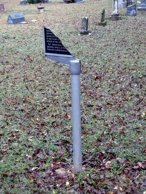
2. Tehuacana Cemetery Texas Historical Marker
Other nearby markers. At least 8 other markers are within 5 miles of this marker, measured as the crow flies: Robert M. Love (about 300 feet away, measured in a direct line); Bell Tower (approx. 0.6 miles away); Tehuacana (approx. 0.6 miles away); William Rees (approx. 0.6 miles away); One Half Mile North to the Site Once Occupied by Trinity University (approx. 1.1 miles away); Joseph W. Stubenrauch (approx. 3½ miles away); Robert B. Longbotham (approx. 4.6 miles away); Mrs. Lucy Haggard Longbotham (approx. 4.6 miles away). Touch for a list and map of all markers in Tehuacana.
Photographed by QuesterMark, November 28, 2015
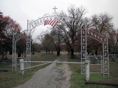
3. Tehuacana Cemetery and marker
Remains of Texas Historical Marker visible through the gate, within the cemetery.
Photographed by Jeff Leichsenring, January 19, 2026
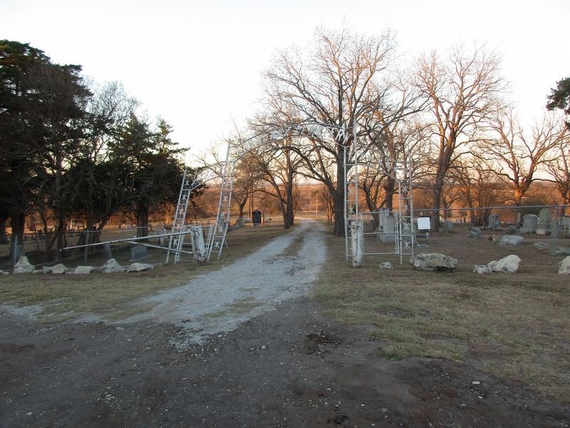
4. Tehuacana Cemetery and marker
Credits. This page was last revised on January 23, 2026. It was originally submitted on December 25, 2015, by QuesterMark of Fort Worth, Texas. This page has been viewed 1,062 times since then and 95 times this year. Last updated on January 22, 2026, by Jeff Leichsenring of Garland, Texas. Photos: 1. submitted on January 22, 2026, by Jeff Leichsenring of Garland, Texas. 2, 3. submitted on December 25, 2015, by QuesterMark of Fort Worth, Texas. 4. submitted on January 22, 2026, by Jeff Leichsenring of Garland, Texas. • Devry Becker Jones was the editor who published this page.
