Aiken in Aiken County, South Carolina — The American South (South Atlantic)
Williams House
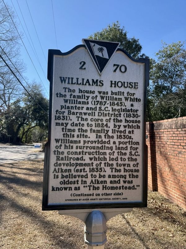
The house was built for the family of William White Williams (1787-1845), a planter and S.C. legislator for Barnwell District (1830-1931). the core of the house may date to 1824, by which time the family lived at this site. In the 1830s, Williams provided a portion of his surrounding land for the construction of the S.C. Railroad, which led to the development of the town of Aiken (est. 1835). The house is believed to be among the oldest in Aiken and was known as "The Homestead."
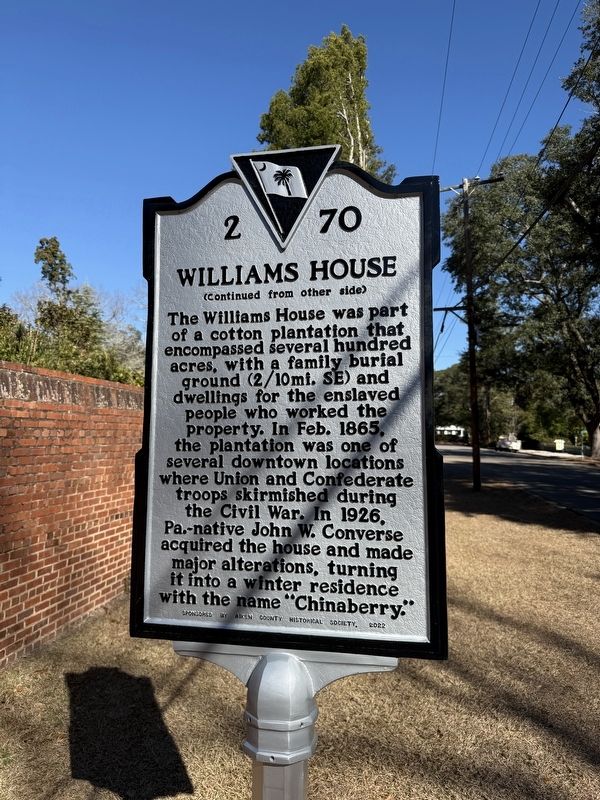
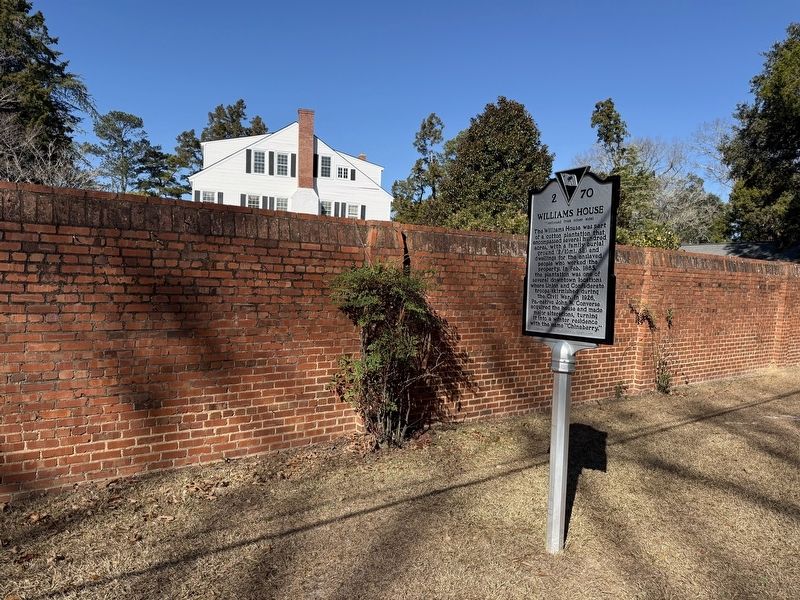
The Williams House was part of a cotton plantation that encompassed several hundred acres, with a family burial ground (2/10mi. SE) and dwelling for the enslaved people who worked the property. In Feb. 1865, the plantation was one of several downtown locations where Union and Confederate troops skirmished during the Civil War. In 1926, Pa.-native John W. Converse acquired the house and made major alterations, turning it into a winter residence with the name "Chinaberry."
Erected 2022 by South Carolina Department of Archives and History, sponsored by Aiken County Historical Society. (Marker Number 2-70.)
Topics and series. This historical
this page online
Location. 33° 33.172′ N, 81° 43.256′ W. Marker is in Aiken, South Carolina, in Aiken County. It is on York Street Southeast south of Ray Lane, on the right when traveling south. Touch for map. Marker is at or near this postal address: 440 York St SE, Aiken SC 29801, United States of America. Touch for directions.

Regionally, this marker is in Greater Augusta and in the Midlands. It is also in the American South and specifically in the Deep South. Globally, it is in North America, the Western Hemisphere, the Western World, and the Anglosphere. Historically, it finds itself in what was once the territory of the Mississippian Culture, one of the original Thirteen Colonies, one of the Confederate States of America, and the Antebellum South.
Other nearby markers. At least 8 other markers are within walking distance of this marker: Whitney Park (about 800 feet
Photographed by Devry Becker Jones (CC0), January 16, 2026
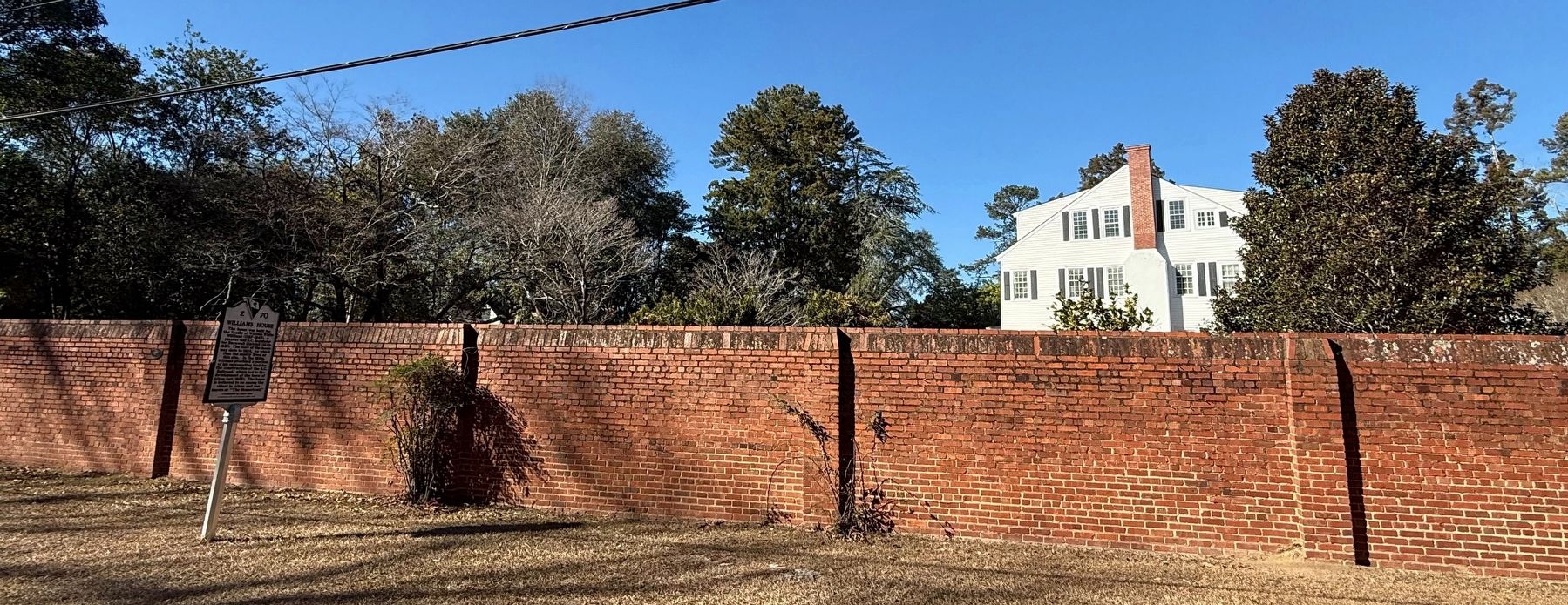
3. Williams House Marker with the house visible behind the brick wall
Credits. This page was last revised on January 22, 2026. It was originally submitted on January 22, 2026, by Devry Becker Jones of Washington, District of Columbia. This page has been viewed 50 times since then. Photos: 1, 2, 3, 4. submitted on January 22, 2026, by Devry Becker Jones of Washington, District of Columbia.
