Durham in Grey County, Ontario — Central Canada (North America)
Founding of Durham
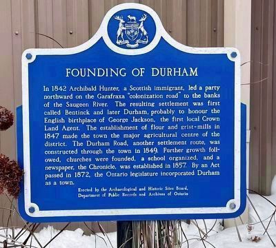
Photo courtesy Municipality of West Grey - Durham & District Community Centre (with permission), December 17, 2025
1. Founding of Durham - Marker
Erected by Archaeological and Historic Sites Board, Department of Public Records and Archives of Ontario.
Topics. This historical marker is listed in these topic lists: Colonial Era • Industry & Commerce • Settlements & Settlers. A significant historical year for this entry is 1842.
Location. 44° 10.395′ N, 80° 49.488′ W. Marker is in Durham, Ontario, in Grey County. It is on Saddler Street West, on
this page online

Regionally, this marker is in Georgian Bay Country and in Southwestern Ontario. It is also in Central Canada. Globally, it is in North America, on the Great Lakes, in the Western Hemisphere, in the Western World, and in the Anglosphere. Historically, it finds itself in what was once a British colony, the Viceroyalty of New France, the Haudenosaunee (Iroquois) Confederacy, and Rupert’s Land.
Other nearby markers. At least 8 other markers are within 26 kilometers of this marker, measured as the crow flies: “Tommy Burns” (approx. 16.2 kilometers away); Daniel Knechtel 1843 - 1936 (approx. 16.2 kilometers away); The Founding of Hanover / La Fondation de Hanover (approx. 16.2 kilometers away); Hanover Cenotaph (approx. 16.3 kilometers away); The Rt. Hon. John G. Diefenbaker (approx. 17.5 kilometers away); The Founding of Clifford (approx. 25.8 kilometers away); Mansion House
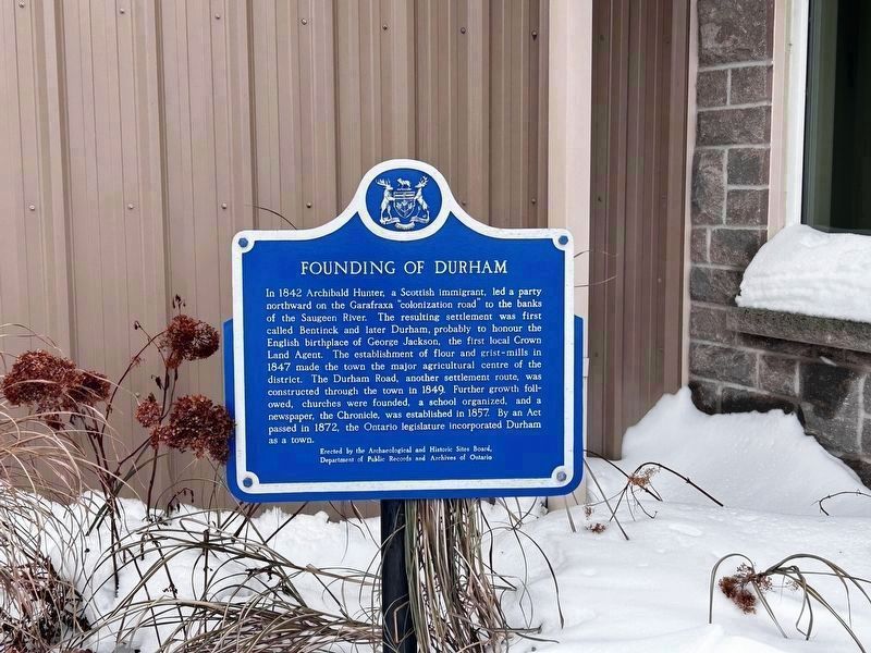
Photo courtesy Municipality of West Grey - Durham & District Community Centre (with permission), December 17, 2025
2. Founding of Durham - Marker in context
Marker is in a tiny triangle garden area at the north-west corner of the building, beside a west-facing entrance door.
More about this marker. 1. For clarity: both these Durhams are in southern Ontario:
- this marker is in the tiny community (and historical town) of Durham, part of the Municipality of West Grey, in Grey County, 100 km NW of Toronto
- there is also a large Durham Region, just east (adjacent to) Toronto and York Region
2. Before 2010, the plaque was previously located on the grounds of the town hall, 137 Garafraxa Street North, Durham.
Credits. This page was last revised on January 25, 2026. It was originally submitted on January 23, 2026, by Kevin Westell of St. Catharines, Ontario. This page has been viewed 32 times since then. Photos: 1, 2. submitted on January 23, 2026, by Kevin Westell of St. Catharines, Ontario.
