Honolulu in Honolulu County, Hawaii — Hawaiian Island Archipelago (Pacific Ocean)
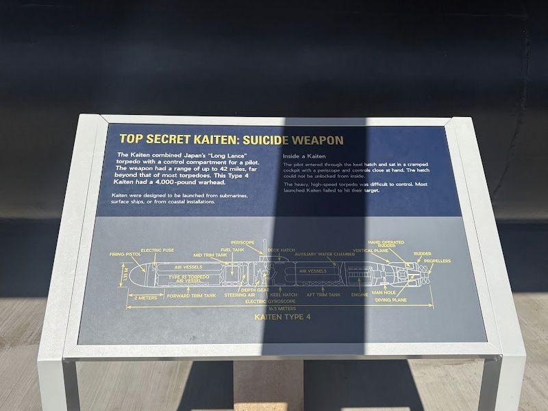
Top Secret Kaiten: Suicide Weapon
Photographed by Darren Jefferson Clay, November 26, 2025
1. Top Secret Kaiten: Suicide Weapon Marker
The Kaiten combined Japan's "Long Lance" torpedo with a control compartment for a pilot. The weapon had a range of up to 42 miles, far beyond that of most torpedoes. This Type 4 Kaiten had a 4,000-pound warhead.
Kaiten were designed to be launched from submarines. surface ships, or from coastal installations.
Inside a Kaiten
The pilot entered through the keel hatch and sat in a cramped cockpit with a periscope and controls close at hand. The hatch could not be unlocked from inside.
The heavy, high-speed torpedo was difficult to control. Most launched Kahen faded to hit their target.
Topics. This historical marker is listed in these topic lists: War, World II • Waterways & Vessels.
Location. 21° 22.137′ N, 157° 56.311′ W. Marker is in Honolulu, Hawaii, in Honolulu County. It can be reached from Arizona Memorial Road west of Kamehameha Highway (Hawaii Highway 99), on the left when traveling north. Touch for map. Marker is at or near this postal address: 11 Arizona Memorial Rd, Aiea HI 96701, United States of America. Touch for directions.

Regionally,
this page online
Other nearby markers. At least 8 other markers are within walking distance of this marker: Inside a Kaiten (here, next to this marker); A Desperate Measure (here, next to this marker); Mark 37 Electric Torpedo (here, next to this marker); Mark 45 Nuclear Capable Torpedo (here, next to this marker); Mark 27 Torpedo (a few steps from this marker); Submarine Rocket (SUBROC) (a few steps from this marker); USS Parche (a few steps from this marker); Submarine Rescue Chamber (SRC) (a few steps from this marker). Touch for a list and map of all markers in Honolulu.
Another marker is no longer nearby. Kaiten (was here, next to this marker but has been replaced with another marker now near it).
Photographed by Darren Jefferson Clay, November 26, 2025
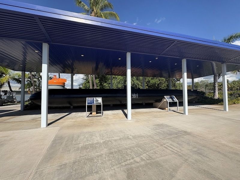
2. Top Secret Kaiten: Suicide Weapon Marker (marker on right)
Credits. This page was last revised on January 29, 2026. It was originally submitted on January 23, 2026, by Darren Jefferson Clay of Duluth, Georgia. This page has been viewed 38 times since then. Photos: 1, 2. submitted on January 23, 2026, by Darren Jefferson Clay of Duluth, Georgia. • Devry Becker Jones was the editor who published this page.
