Gaston in Lexington County, South Carolina — The American South (South Atlantic)
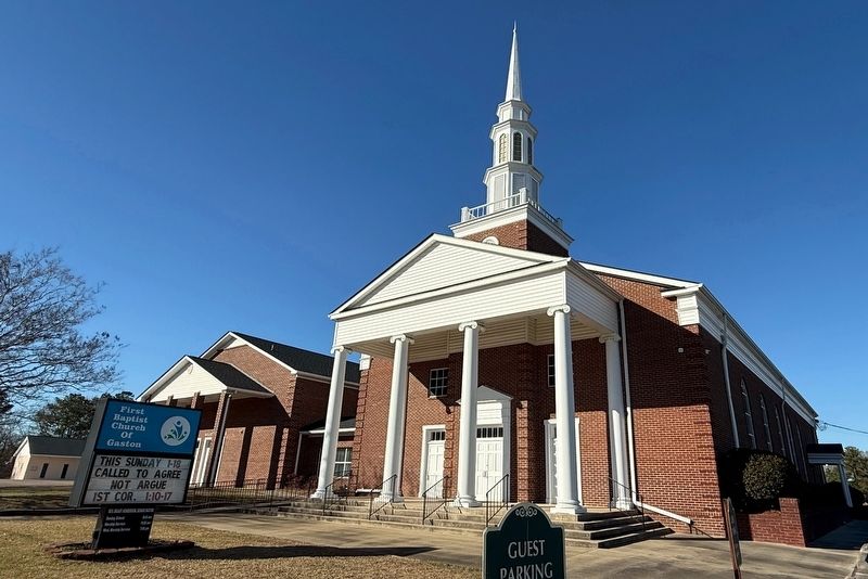
First Baptist Church of Gaston
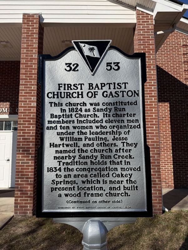
This church was constituted in 1824 as Sandy Run Baptist Church. Its charter members included eleven men and ten women who organized under the leadership of William Pauling, Jesse Hartwell, and others. They named the church after nearby Sandy Run Creek. Tradition holds that in 1834 the congregation moved to an area called Oakey Springs, which is near the present location , and built a wood frame church.
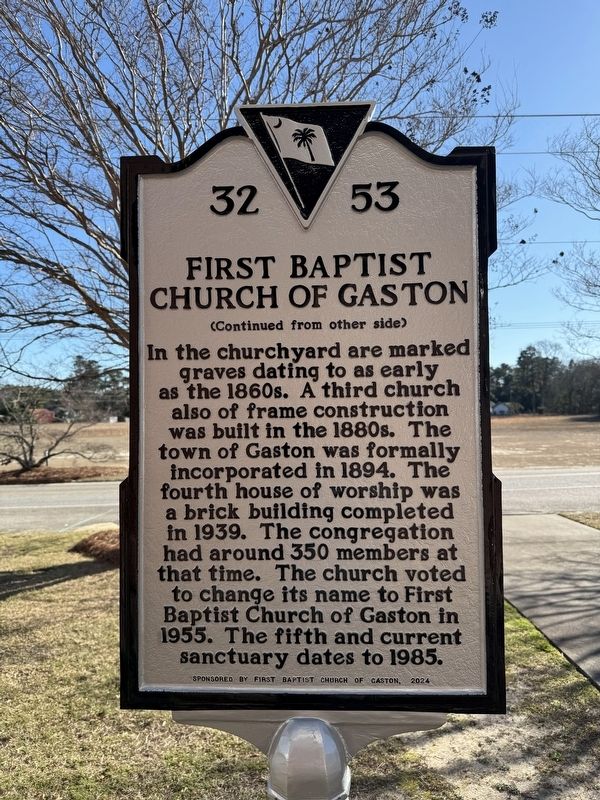
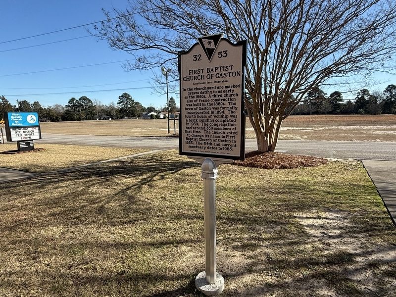
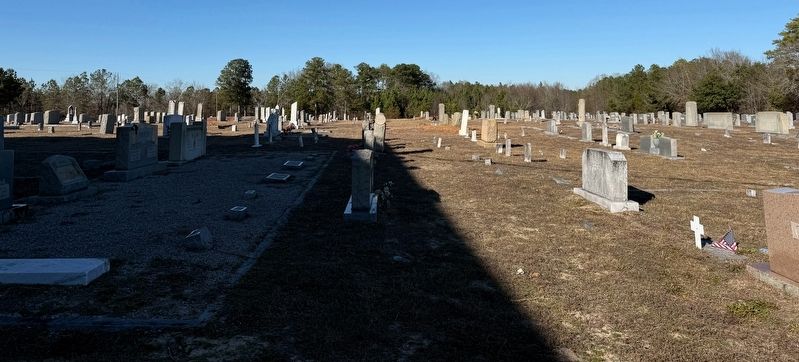
In the churchyard are marked graves dating to as early as the 1860s. The town of Gaston was formally incorporated in 1894. The fourth house of worship was a brick building completed in 1939. The congregation had around 350 members at that time. The church voted to change its name to First Baptist Church of Gaston in 1955. The fifth and current sanctuary dates to 1985.
Erected 2024 by South Carolina State Historic Preservation Office, sponsored by First Baptist Church of Gaston. (Marker Number 32-53.)
Topics and series. This historical marker is listed in these topic lists: Cemeteries & Burial Sites • Religion & Religious Structures • Settlements & Settlers. In addition, it is included in the South Carolina Historical Markers
this page online
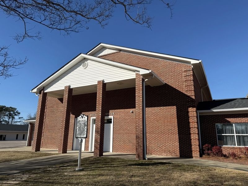
Location. 33° 49.192′ N, 81° 6.345′ W. Marker is in Gaston, South Carolina, in Lexington County. It is on Oakey Springs Drive (State Road 32-100) west of Church Street, on the right when traveling west. Touch for map. Marker is at or near this postal address: 121 Oakey Springs Dr, Gaston SC 29053, United States of America. Touch for directions.

Regionally, this marker is in the Midlands and in the Greater Columbia Area. It is also in the American South and specifically in the Deep South. Globally, it is in North America, the Western Hemisphere, the Western World, and the Anglosphere. Historically, it finds itself in what was once the territory of the Mississippian Culture, one of the original Thirteen Colonies, one of the Confederate States of America, and the Antebellum South.
Other nearby markers. At least 8 other markers are within 9 miles of this marker, measured as the crow flies: Greater St. Paul African Methodist Episcopal Church (approx. 5 miles away); Herman Geiger (approx. 5.7 miles away); In Memory of Emily Geiger (approx. 5.7 miles away); Mount Olive A.M.E. Church
Another marker is no longer nearby. Savany Hunt (was approx. 5.3 miles away but has been permanently removed).
Photographed by Devry Becker Jones (CC0), January 16, 2026
6. The graveyard directly behind the church building
Credits. This page was last revised on January 23, 2026. It was originally submitted on January 23, 2026, by Devry Becker Jones of Washington, District of Columbia. This page has been viewed 69 times since then. Photos: 1, 2, 3, 4, 5, 6. submitted on January 23, 2026, by Devry Becker Jones of Washington, District of Columbia.
