Midtown - Downtown in Columbia in Richland County, South Carolina — The American South (South Atlantic)
Waterworks
Waterworks at Columbia Canal
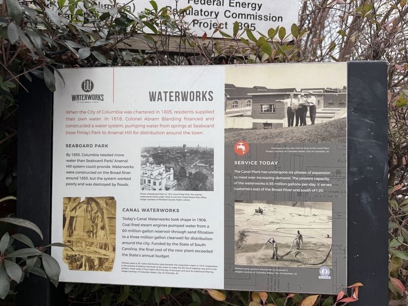
When the City of Columbia was chartered in 1805, residents supplied their own water. In 1818, Colonel Abram Blanding financed and constructed a water system, pumping water from springs at Seaboard (now Finlay) Park to Arsenal Hill for distribution around the town.
Seaboard Park
By 1855, Columbia needed more water than Seaboard Park/ Arsenal Hill system could provide. Waterworks were constructed on the Broad River a round 1855, but the system worked poorly and was destroyed by floods.
Canal Waterworks
Today's Canal Waterworks took shape in 1906. Coal fired steam engines pumped water from a 60-million-gallon reservoir through sand filtration to a three million gallon clearwell for distribution around the city. Funded by the State of South Carolina, the final cost of the new plant exceeded the State's annual budget.
Service Today
The Canal Plant has undergone six phases of expansion to meet ever-increasing demand. The present capacity of the waterworks is 85 million gallons-per-day. It served customers east of the Broad River and south of I-20.
[Captions:]
Photo of Seaboard Park ca. 1919. Now Finlay Park, the original waterworks stood under what is now the United States Post Office.
Workers place a 30" water distribution pipe beneath the coagulation basin in 1916. Coagulation is the process of adding chemicals to the water to make the dirt bond together and sink to the bottom. Fresh water is taken off the top of the basin and sent for additional filtering.
Engineers survey work being done at the Canal Plant.
Workers spray gunite in the bottom of Clearwell 2.
Erected by City
this page online
Topics. This historical marker is listed in these topic lists: Industry & Commerce • Waterways & Vessels. A significant historical year for this entry is 1805.
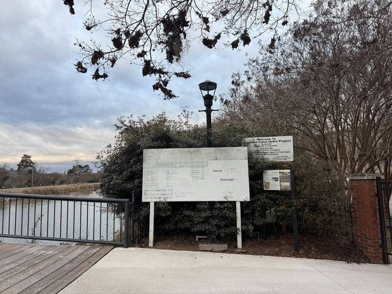
Location. 34° 0.183′ N, 81° 3.217′ W. Marker is in Columbia, South Carolina, in Richland County. It is in Midtown - Downtown. It can be reached from Gist Street north of Blanding Street, on the right when traveling south. The marker stands on the grounds of the Columbia Canal and Riverfront Park. Touch for map. Marker is at or near this postal address: 300 Laurel St, Columbia SC 29201, United States of America. Touch for directions.

Regionally, this marker is in the Midlands. It is also in the American South and specifically in the Deep South. Globally, it is in North America, the Western Hemisphere, the Western World, and the Anglosphere. Historically, it finds itself in what was once the territory of the Mississippian Culture, one of the original Thirteen Colonies, one of the Confederate States of America, and the Antebellum South.
Other nearby markers. At least 8 other markers are within walking distance of this marker: Historic Columbia Canal
Credits. This page was last revised on January 24, 2026. It was originally submitted on January 24, 2026, by Devry Becker Jones of Washington, District of Columbia. This page has been viewed 34 times since then. Photos: 1, 2. submitted on January 24, 2026, by Devry Becker Jones of Washington, District of Columbia.
