Midtown - Downtown in Columbia in Richland County, South Carolina — The American South (South Atlantic)
Hydroelectric Plant
Waterworks at Columbia Canal
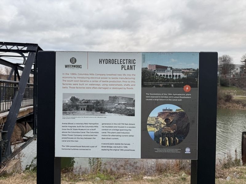
In the 1890s, Columbia Mills Company breathed new life into the economy by introducing electrical power to textile manufacturing. The south soon became a center of textile production. Prior to this, factories were built on waterways, using waterwheels, shafts and belts. Those factories were often damaged or destroyed by floods.
Aretas Blood, a visionary New Hampshire textile magnate, built the Columbia Mills (now the SC State Museum) on a bluff above the Columbia Canal. The Columbia Water Company constructed two powerhouses on the levy between the canal and the river.
The 1894 powerhouse featured a pair of horizontal turbines connected to generators in the mill 700 feet distant via insulated wire housed in a wooden conduit on a bridge spanning the canal. This plant used induction motors for alternating current rather than direct current.
A second plant, beside the Gervais. Street Bridge, was built in 1896, replacing the original 1894 powerhouse.
The foundations of the 1894 hydroelectric plant were exposed in October 2015 when the floodwaters caused a large breach in the canal wall.
Erected by City of
this page online
Topics. This historical marker is listed in these topic lists: Industry & Commerce • Waterways & Vessels. A significant historical month for this entry is October 2015.
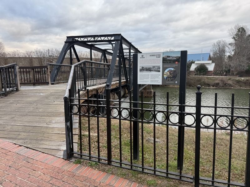
Location. 34° 0.159′ N, 81° 3.246′ W. Marker is in Columbia, South Carolina, in Richland County. It is in Midtown - Downtown. It is on Three Rivers Greenway, on the right when traveling north. The marker stands on the grounds of the Columbia Canal and Riverfront Park. Touch for map. Marker is at or near this postal address: 100 Three Rivers Greenway, Columbia SC 29201, United States of America. Touch for directions.

Regionally, this marker is in the Midlands. It is also in the American South and specifically in the Deep South. Globally, it is in North America, the Western Hemisphere, the Western World, and the Anglosphere. Historically, it finds itself in what was once the territory of the Mississippian Culture, one of the original Thirteen Colonies, one of the Confederate States of America, and the Antebellum South.
Other nearby markers. At least 8 other markers are within walking distance of this marker: Pump House (a few steps from this marker);
Credits. This page was last revised on January 24, 2026. It was originally submitted on January 24, 2026, by Devry Becker Jones of Washington, District of Columbia. This page has been viewed 33 times since then. Photos: 1, 2. submitted on January 24, 2026, by Devry Becker Jones of Washington, District of Columbia.
