Midtown - Downtown in Columbia in Richland County, South Carolina — The American South (South Atlantic)
Uncovering Traces of the Past
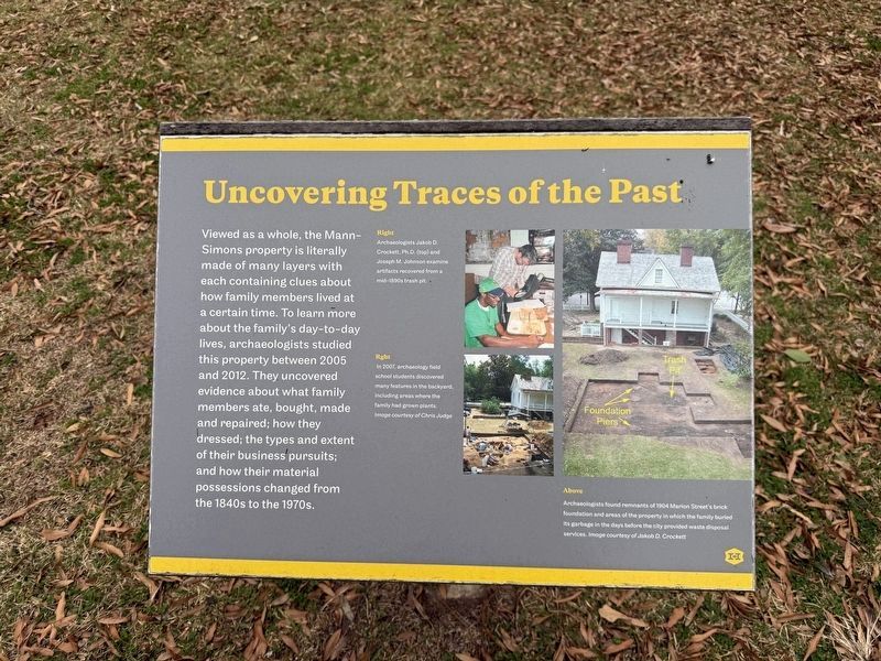
Viewed as a whole, the Mann-Simons property is literally made of many layers with each containing clues about how family members lived at a certain time. To learn more about the family's day-to-day lives, archaeologists studied this property between 2005 and 2012. They uncovered evidence about what family members ate, bought, made and repaired; how they dressed; the types and extent of their business pursuits; and how their material possessions changed from the 1840s to the 1970s.
[Captions:]
Right
Archaeologists Jakob D. Crockett, Ph.D. (top) and Joseph M. Johnson examine artifacts recovered from a mid-1890s trash pit.
Right
In 2007, archaeology field school students discovered many features in the backyard, including areas where the family had grown plants. Image courtesy of Chris Judge
Above
Archaeologists found remnants of 1904 Marion Street's brick foundation and areas of the property in which the family buried its garbage in the days before the city provided waste disposal services. Image courtesy of Jakob D. Crockett
Erected by Historic Columbia Foundation.
Topics. This historical marker
this page online
Location. 34° 0.729′ N, 81° 2.066′ W. Marker is in Columbia, South Carolina, in Richland County. It is in Midtown - Downtown. It is on Marion Street north of Richland Street, on the left when traveling south. Touch for map. Marker is at or near this postal address: 1403 Richland St, Columbia SC 29201, United States of America. Touch for directions.

Regionally, this marker is in the Midlands. It is also in the American South and specifically in the Deep South. Globally, it is in North America, the Western Hemisphere, the Western World, and the Anglosphere. Historically, it finds itself in what was once the territory of the Mississippian Culture, one of the original Thirteen Colonies, one of the Confederate States of America, and the Antebellum South.
Other nearby markers. At least 8 other markers are within walking distance of this marker: From Historic House to Modern Museum (here, next to this marker); Time to Collect the Rent (a few steps from this marker);

Credits. This page was last revised on January 24, 2026. It was originally submitted on January 24, 2026, by Devry Becker Jones of Washington, District of Columbia. This page has been viewed 29 times since then. Photos: 1, 2. submitted on January 24, 2026, by Devry Becker Jones of Washington, District of Columbia.
