Fort Meade in Anne Arundel County, Maryland — The American Northeast (Mid-Atlantic)
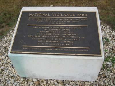
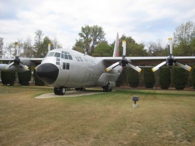
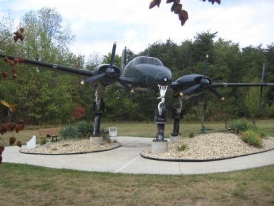
National Vigilance Park
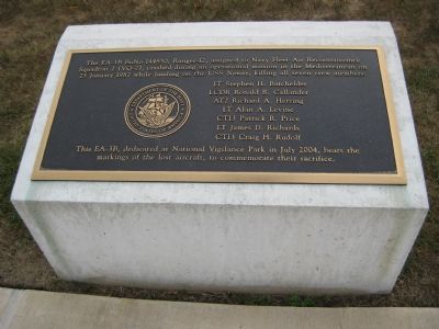
This memorial is dedicated in memory of the seventeen airmen who perished that day, and their Armed Forces compatriots who were killed, injured, taken prisoner, or unaccounted for in other incidents while performing a mission vital to America’s security.
Plaque donated by Freedom Through Vigilance Association.
Erected 1997.
Topics. This historical marker is listed in these topic lists: Air & Space • Military • War, Cold. A significant historical month for this entry is September 1766.
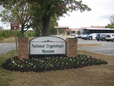
Location. Marker has been reported missing. It was located near 39° 6.695′ N, 76° 46.503′ W. Marker was in Fort Meade, Maryland, in Anne Arundel County. Marker was on Colony Seven Road, 0.1 miles west of Canine Road, on the right when traveling west. From MD-32 heading east or west, follow signs to National Cryptologic Museum. At first traffic light on Canine Road, turn left onto Colony Seven Road and then park in parking lot on the right as close to airplanes as possible. Touch for map. Marker was in this post office area: Fort George G Meade MD 20755, United States of America. Touch for directions.
Other nearby markers. At least 8 other markers are within 2 miles of this location, measured as the crow flies . U.S.S. Liberty (approx. ¼ mile away); Annapolis and Elk Ridge Railroad (approx. 1.4 miles away); "Cav. Area" (approx. 1½ miles away); Chapultepec Avenue (approx. 1½ miles away); Cavalry Area (approx. 1½ miles away); Tipton Army Airfield (approx. 1.6 miles away); The Battle of the Bulge (approx. 1.9 miles away); Dedicated to all American Ex-Prisoners of War (approx. 1.9 miles away). Touch for a list and map of all markers in Fort Meade.
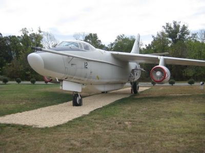
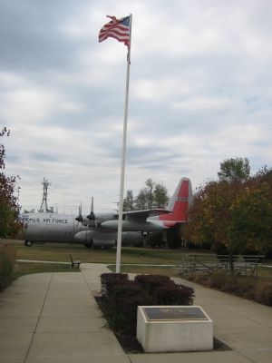
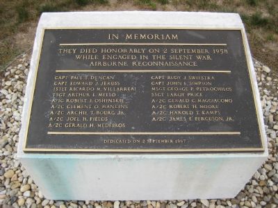
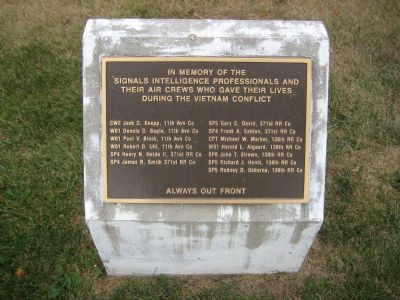
Regarding National Vigilance Park. The National Vigilance Park has several markers in it, three of which are dedicated to specific reconnaisance missions that ended in crashes or shoot-downs.
Additional commentary.
1. No longer there!
This has been removed to make way for the parking lot. Hopefully it will be repositioned at some point in the future...
— Submitted October 22, 2022, by Eric Cat of Jessup, Maryland.
Credits. This page was last revised on December 19, 2022. It was originally submitted on October 12, 2007, by F. Robby of Baltimore, Maryland. This page has been viewed 2,667 times since then and 14 times this year. Photos: 1, 2, 3, 4, 5, 6, 7, 8, 9. submitted on October 12, 2007, by F. Robby of Baltimore, Maryland. • J. J. Prats was the editor who published this page.
