
Midtown - Downtown in Columbia in Richland County, South Carolina — The American South (South Atlantic)
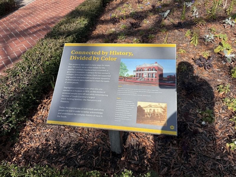
Connected by History, Divided by Color
Photographed by Devry Becker Jones (CC0), January 17, 2026
1. Connected by History, Divided by Color Marker
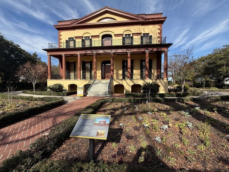
This property was used in many ways for more than 150 years—as an urban estate for the wealthy; a military headquarters; a convent; a governor's mansion; a campus for two women's colleges; and a tourist home. Each use supported segregation and enforced racial power dynamics as black people were expected to meet the needs of white people.
Segregation continued even when this site opened as a museum in 1970, as the stories of enslaved people were left out while remembering the lives of South Carolina's largest slave-holding families—the Hamptons and Prestons.
Today, the experiences of both black and white people are told in order to better acknowledge and understand the complex history of race in the South.
[Captions:]
This modern architect's rendering depicts the mansion's original, Federal style appearance in 1818. Renovations between 1835 and 1969 changed many aspects of the building structurally and aesthetically.
Photographer Rufus Morgan's stereograph card, "Grounds of the Old Hampton Residence," captured the property's appearance in 1873, during its time as the home of Governor Franklin Moses.
Erected
this page online
Topics. This historical marker is listed in these topic lists: African Americans • Anthropology & Archaeology • Architecture • Education. A significant historical year for this entry is 1970.
Location. 34° 0.622′ N, 81° 1.761′ W. Marker is in Columbia, South Carolina, in Richland County. It is in Midtown - Downtown. It is on Blanding Street east of Pickens Street, on the left when traveling east. Touch for map. Marker is at or near this postal address: 1615 Blanding St, Columbia SC 29201, United States of America. Touch for directions.

Regionally, this marker is in the Midlands. It is also in the American South and specifically in the Deep South. Globally, it is in North America, the Western Hemisphere, the Western World, and the Anglosphere. Historically, it finds itself in what was once the territory of the Mississippian Culture, one of the original Thirteen Colonies, one of the Confederate States of America, and the Antebellum South.
Other nearby markers. At least 8 other markers are within walking distance of this marker: A Garden Resource for Everyone (here, next to
Photographed by Devry Becker Jones (CC0), January 17, 2026
2. Connected by History, Divided by Color Marker
Credits. This page was last revised on January 24, 2026. It was originally submitted on January 24, 2026, by Devry Becker Jones of Washington, District of Columbia. This page has been viewed 57 times since then. Photos: 1, 2. submitted on January 24, 2026, by Devry Becker Jones of Washington, District of Columbia.
