
Midtown - Downtown in Columbia in Richland County, South Carolina — The American South (South Atlantic)
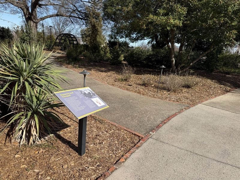
Separate and Unequal

Until the end of the Civil War in 1865, many enslaved women, men and children lived and worked in two buildings that stood diagonally behind the mansion. They had no choice in when or where they worked nor in what they did each day. This large workforce, essential to maintaining the Hampton-Preston estate, also served as physical proof of their owner's extreme wealth.
[Captions:]
The northeast slave dwelling, shown here in 1890, contained the estate's main kitchen on its first floor. Its twin to the west housed an office and possibly a laundry. Enslaved households lived in small, second-story rooms in both of the 18-by-40-foot buildings.
In 1895, the College for Women [1890-1915], an educational institution for upper middle-class white women, began to remove some buildings associated with the estate's history of slavery. A growing population at the school led to the replacement of the northwest slave dwelling with Preston Hall, a new dormitory/classroom building. Ten years later in 1905, the remaining slave dwelling was torn down for the construction of McClintock Hall, which housed more dormitory rooms and a dining hall.
Erected by Historic
this page online
Topics. This historical marker is listed in these topic lists: African Americans • Architecture • Education • Women. A significant historical year for this entry is 1865.
Location. 34° 0.641′ N, 81° 1.76′ W. Marker is in Columbia, South Carolina, in Richland County. It is in Midtown - Downtown. It can be reached from Blanding Street east of Henderson Street, on the right when traveling east. Touch for map. Marker is at or near this postal address: 1615 Blanding St, Columbia SC 29201, United States of America. Touch for directions.

Regionally, this marker is in the Midlands. It is also in the American South and specifically in the Deep South. Globally, it is in North America, the Western Hemisphere, the Western World, and the Anglosphere. Historically, it finds itself in what was once the territory of the Mississippian Culture, one of the original Thirteen Colonies, one of the Confederate States of America, and the Antebellum South.
Other nearby markers. At least 8 other markers are within walking distance of this marker: Half the House It Used to Be (here, next to this marker); History Under Foot
Additional keywords. enslaved labor
Credits. This page was last revised on January 24, 2026. It was originally submitted on January 24, 2026, by Devry Becker Jones of Washington, District of Columbia. This page has been viewed 55 times since then. Photos: 1, 2. submitted on January 24, 2026, by Devry Becker Jones of Washington, District of Columbia.
