
Marker Logo
THE HISTORICAL
MARKER DATABASE
“Bite-Size Bits of Local, National, and Global History”
Fermanagh Township in Mifflintown in Juniata County, Pennsylvania — The American Northeast (Mid-Atlantic)
 

Feeder Pond and Spillway

Mifflin County  Juniata County
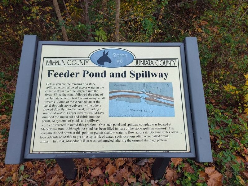
 
 
Feeder Pond and Spillway Marker image. Click for full size.
Photographed by Craig Doda, October 19, 2025
1. Feeder Pond and Spillway Marker
Inscription. Below you are the remains of a stone spillway which allowed excess water in the canal to drain over the towpath into the river. Since the canal followed the edge of the Juniata River, it had to cross many small streams. Some of these passed under the canal through stone culverts, while others flowed directly into the canal, providing a source of water. Larger streams would have dumped too much silt and debris into the prism, so systems of ponds and spillways were constructed to avoid this problem. One such pond and spillway complex was located at Macedonia Run. Although the pond has been filled in, part of the stone spillway remains. The towpath dipped down at this point to permit shallow water to flow across it. Because mules often took advantage of this to get an easy drink of water, such locations often were called "mule drinks." In 1934, Macedonia Run was re-channeled, altering the original drainage pattern.

(Marker Number Station #6.)
 
Topics. This historical marker is listed in this topic list: Waterways & Vessels. A significant historical year for this entry is 1934.
 
Location. 40° 36.61′ N, 77° 26.626′ W. Marker is in
Paid Advertisement
Click or scan to see
this page online
Mifflintown, Pennsylvania, in Juniata County. It is in Fermanagh Township. It is at the intersection of William Penn Highway and Reservoir Road, on the right when traveling south on William Penn Highway. Touch for map. Marker is at or near this postal address: 17 William Penn Highway, Mifflintown PA 17059, United States of America. Touch for directions.

Regionally, this marker is in the American Northeast, in the Mid-Atlantic, in Appalachia, and specifically in Northern Appalachia. Globally, it is in North America, the Western Hemisphere, the Western World, and the Anglosphere. Historically, it finds itself in what was once the Haudenosaunee (Iroquois) Confederacy and also one of the original Thirteen Colonies.

Other nearby markers. At least 8 other markers are within 4 miles of this marker, measured as the crow flies: Pennsylvania Mainline Canal Juniata Division (a few steps from this marker); The Lewistown Narrows: A Vital Transportation Corridor (a few steps from this marker); The Lock-Keeper (a few steps from this marker); The Lewistown Narrows in Prehistory (a few steps from this marker); Lift Lock No. 13 (within shouting
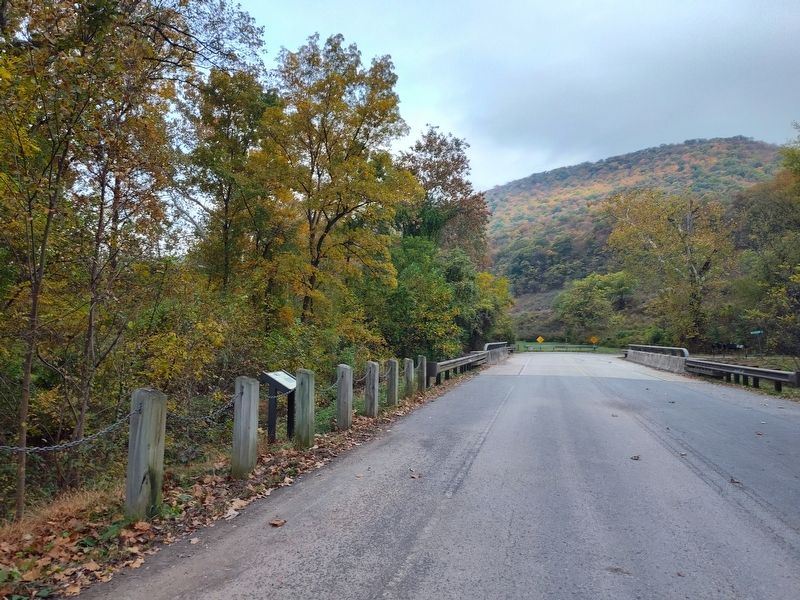
Feeder Pond and Spillway Marker image. Click for full size.
Photographed by Craig Doda, October 19, 2025
2. Feeder Pond and Spillway Marker
distance of this marker); Lewistown Narrows Canal Park (about 300 feet away, measured in a direct line); Mifflintown (approx. 3½ miles away); Westminster Presbyterian Cemetery World War Memorial Avenue of Trees (approx. 3.6 miles away). Touch for a list and map of all markers in Mifflintown.
 
 
Credits. This page was last revised on February 19, 2026. It was originally submitted on January 26, 2026, by Craig Doda of Napoleon, Ohio. This page has been viewed 49 times since then. Photos:   1, 2. submitted on January 26, 2026, by Craig Doda of Napoleon, Ohio. • Andrew Ruppenstein was the editor who published this page.

m=292496

CeraNet Cloud Computing sponsors the Historical Marker Database.
This website earns income from purchases you make after using our links to Amazon.com. We appreciate your support.
Paid Advertisement
Sep. 2, 2026
