Fermanagh Township near Mifflintown in Juniata County, Pennsylvania — The American Northeast (Mid-Atlantic)
The Lock-Keeper
Mifflin County/Juniata County
Photographed by Craig Doda, October 19, 2025
1. The Lock-Keeper Marker
Inscription.
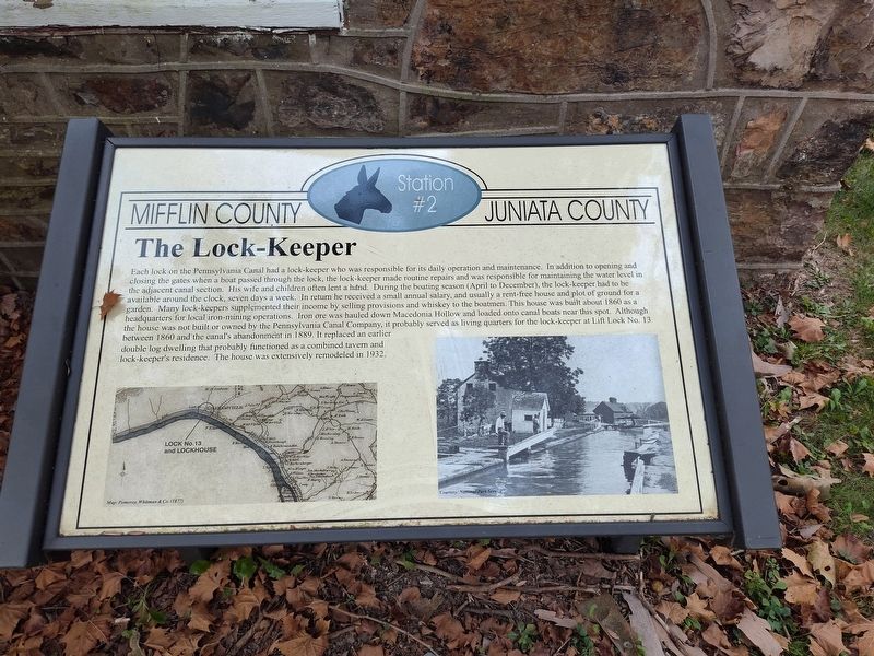
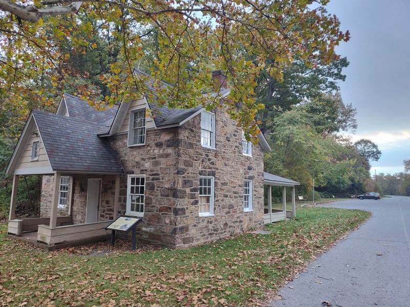
Each lock on the Pennsylvania Canal had a lock-keeper who was responsible for its daily operation and maintenance. In addition to opening and closing the gates when a boat passed through the lock, the lock-keeper made routine repairs and was responsible for maintaining the water level in the adjacent canal section. His wife and children often lent a hand. During the boating season (April to December), the lock-keeper had to be available around the clock, seven days a week. In return he received a small annual salary, and usually a rent-free house and plot of ground for a garden. Many lock-keepers supplemented their income by selling provisions and whiskey to the boatmen. This house was built about 1860 as a headquarters for local iron-mining operations. Iron ore was hauled down Macedonia Hollow and loaded onto canal boats near this spot. Although the house was not built or owned by the Pennsylvania Canal Company, it probably served as living quarters for the lock-keeper at Lift Lock No. 13 between 1860 and the canal's abandonment in 1889. It replaced an earlier double log dwelling that probably functioned as a combined
Click or scan to see this page online
tavern and lock-keeper's residence. The house was extensively remodeled in 1932.
(Marker Number 2.)
Topics. This historical marker is listed in these topic lists: Industry & Commerce • Waterways & Vessels. A significant historical year for this entry is 1860.
Location. 40° 36.612′ N, 77° 26.614′ W. Marker is near Mifflintown, Pennsylvania, in Juniata County. It is in Fermanagh Township. It is at the intersection of William Penn Highway and Reservoir Road, on the right when traveling north on William Penn Highway. Touch for map. Marker is at or near this postal address: 17 William Penn Hwy, Mifflintown PA 17059, United States of America. Touch for directions.
Regionally, this marker is in the American Northeast, in the Mid-Atlantic, in Appalachia, and specifically in Northern Appalachia. Globally, it is in North America, the Western Hemisphere, the Western World, and the Anglosphere. Historically, it finds itself in what was once the Haudenosaunee (Iroquois) Confederacy and also one of the original Thirteen Colonies.
Other nearby markers. At least 8 other markers are within 4 miles of this marker, measured as the crow flies:
Credits. This page was last revised on February 4, 2026. It was originally submitted on January 26, 2026, by Craig Doda of Napoleon, Ohio. This page has been viewed 35 times since then. Photos:1, 2. submitted on January 26, 2026, by Craig Doda of Napoleon, Ohio. • Devry Becker Jones was the editor who published this page.