Fermanagh Township in Mifflintown in Juniata County, Pennsylvania — The American Northeast (Mid-Atlantic)
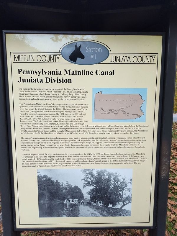
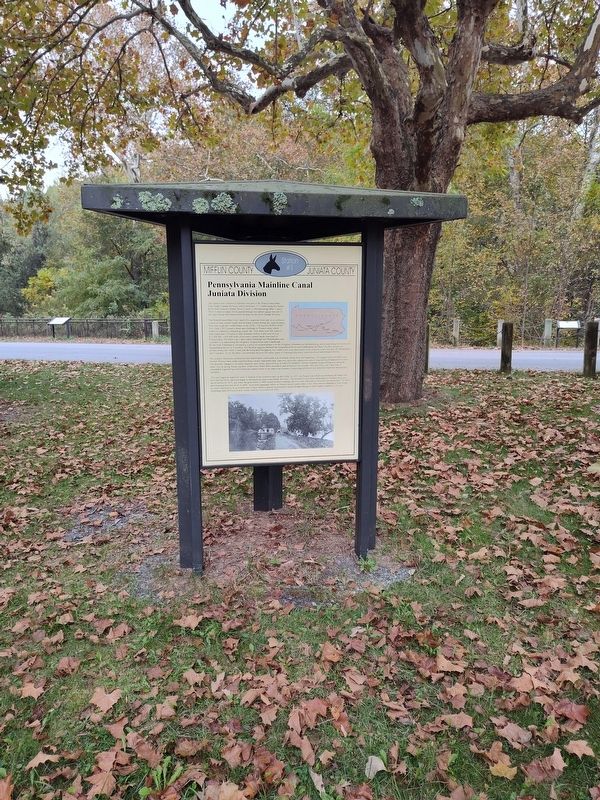
Pennsylvania Mainline Canal Juniata Division
Mifflin County Juniata County
Photographed by Craig Doda, October 19, 2025
1. Pennsylvania Mainline Canal Juniata Division Marker
The Pennsylvania Main Line Canal's five segments were part of an extensive system of state-owned canals and railroads created during the canal-building fever that swept the United States in the 1820s. The success of New York's Erie Canal (1825) posed a threat and challenge to Pennsylvania, which rushed to construct a competing system. By 1834, there were 601 miles of state canals and 119 miles of state railroads, built at a total cost of over $22,000,000. Over 409 miles of privately-owned canals were built in Pennsylvania. The Main Line Canal linked Pittsburgh and Philadelphia, and consisted of a canal along the Allegheny, Kiskiminetas, and Conemaugh Rivers from Pittsburgh to Johnstown, a series of inclined planes over the Allegheny Mountains to Hollidaysburg,
this page online
The system's enormous construction and maintenance costs made it an economic failure from the beginning. The rugged terrain of central and western Pennsylvania made canal building a nearly-impossible task, especially given the rudimentary state of engineering techniques at the time. The dramatic changes in elevation required many locks, each resulting in delays for shippers. Natural disasters occurred frequently along the entire line, as spring floods regularly swept away feeder dams, aqueducts, and portions of the towpath. Still, the Main Line Canal was a remarkable engineering achievement and opened much of the state to development, promoting settlement and industrial expansion throughout
Photographed by Craig Doda, October 19, 2025
2. Pennsylvania Mainline Canal Juniata Division Marker
The state began to search for ways to dispose of the system as early as the 1840s. In 1857, the Pennsylvania Railroad purchased the Main Line for a fraction of its value and began to dismantle the more unprofitable divisions. The Juniata Division from Huntingdon to Hollidaysburg was out of service by 1876, and when the great flood of 1889 caused extensive damage, the rest of the canal above Newport was abandoned. The little that remained was shut down in 1899. In general, passenger traffic on Pennsylvania's canals ended in the 1850s, but the shipping of bulk freight by canal continued to be profitable until a major flood or gradual deterioration caused enough damage to make repairs unfeasible. The last remaining canal in Pennsylvania finally went out of existence in 1942.
(Marker Number Station #1.)
Topics. This historical marker is listed in these topic lists: Industry & Commerce • Railroads & Streetcars • Waterways & Vessels. A significant historical year for this entry is 1834.
Location. 40° 36.617′ N, 77° 26.619′ W. Marker is in Mifflintown, Pennsylvania, in Juniata County. It is in Fermanagh Township. It is at the intersection of William Penn Highway and Reservoir Road, on the right when traveling north on William Penn Highway. Touch for map. Marker is at or near this postal address: 17 William Penn Highway, Mifflintown PA 17059, United States of America. Touch for directions.

Regionally, this marker is in the American Northeast, in the Mid-Atlantic, in Appalachia, and specifically in Northern Appalachia. Globally, it is in North America, the Western Hemisphere, the Western World, and the Anglosphere. Historically, it finds itself in what was once the Haudenosaunee (Iroquois) Confederacy and also one of the original Thirteen Colonies.
Other nearby markers. At least 8 other markers are within 4 miles of this marker, measured as the crow flies: The Lewistown Narrows: A Vital Transportation Corridor (here, next to this marker); The Lewistown Narrows in Prehistory (here, next to this marker); The Lock-Keeper (a few steps from this marker); Feeder Pond and Spillway (a few steps from this marker); Lift Lock No. 13 (within shouting distance of this marker); Lewistown Narrows Canal Park (about 300 feet away, measured in a direct line); Mifflintown (approx. 3½ miles away); Westminster Presbyterian Cemetery World War Memorial Avenue of Trees (approx. 3.6 miles away). Touch for a list and map of all markers in Mifflintown.
Credits. This page was last revised on February 19, 2026. It was originally submitted on January 26, 2026, by Craig Doda of Napoleon, Ohio. This page has been viewed 91 times since then. Photos: 1, 2. submitted on January 26, 2026, by Craig Doda of Napoleon, Ohio. • Andrew Ruppenstein was the editor who published this page.
