West Hartford in Capitol Region, Connecticut — The American Northeast (New England)
Neptune
c.1720 - c.1790
| — | [Witness Stones Project] | — |

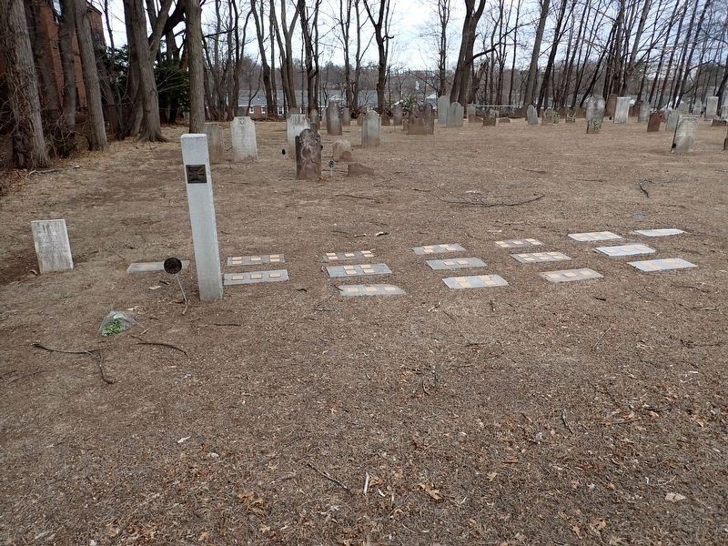
Photographed by Conrad Ward, March 12, 2025
1. Neptune Witness Stone
Enslaved here
Erected 2021 by Witness Stones Project. (Marker Number CT40.)
Topics. This historical marker is listed in these topic lists: African Americans • Agriculture. A significant historical year for this entry is 1720.
Location. 41° 45.865′ N, 72° 44.519′ W. Marker is in West Hartford in Capitol Region, Connecticut. It is on North Main Street, on the right when traveling north. The marker lies in Old Center Burying Yard. Touch for map. Marker is at or near this postal address: 30 N Main St, West Hartford CT 06107, United States of America. Touch for directions.

Regionally, this marker is in the Connecticut River Valley, in Greater Hartford, and in the Knowledge Corridor. It is also in the American Northeast and in New England. Globally, it is in North America, the Western Hemisphere, the Western World, and the Anglosphere. Historically, it finds itself in what was once Hartford County and also one of the original Thirteen Colonies.
Other nearby markers. At least 8 other markers are within walking distance of this marker: Phebee (here, next to this marker); Plimouth (here, next to
this page online
Also see . . . Neptune (Witness Stones Project). (Submitted on January 28, 2026.)
Additional keywords. enslaved labor
Photographed by Conrad Ward, March 12, 2025
2. Neptune Witness Stone
Credits. This page was last revised on May 19, 2026. It was originally submitted on January 28, 2026, by Conrad Ward of Guilford, Connecticut. This page has been viewed 30 times since then. Photos: 1, 2. submitted on January 28, 2026, by Conrad Ward of Guilford, Connecticut. • Devry Becker Jones was the editor who published this page.
