Vermillion in Clay County, South Dakota — The American Midwest (Upper Plains)
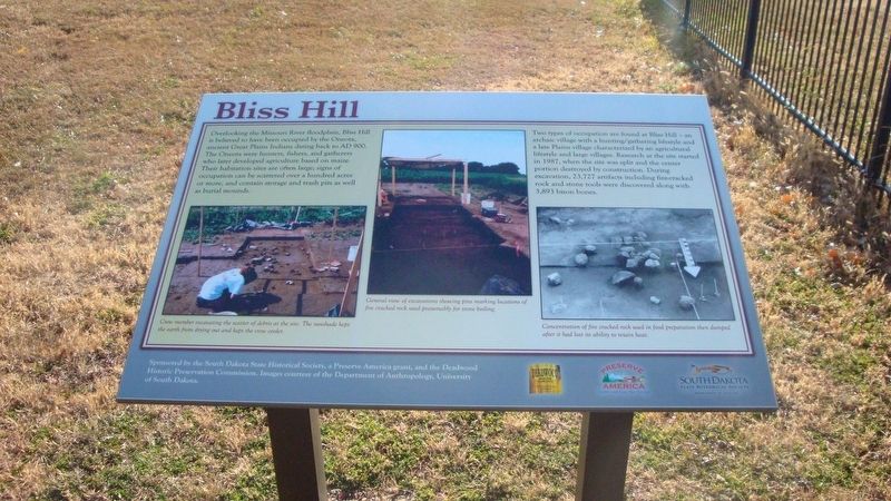
Bliss Hill
Photographed by Roger Dean Meyer, November 11, 2011
1. Bliss Hill Marker
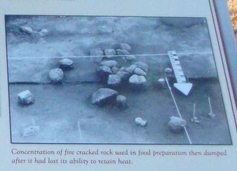
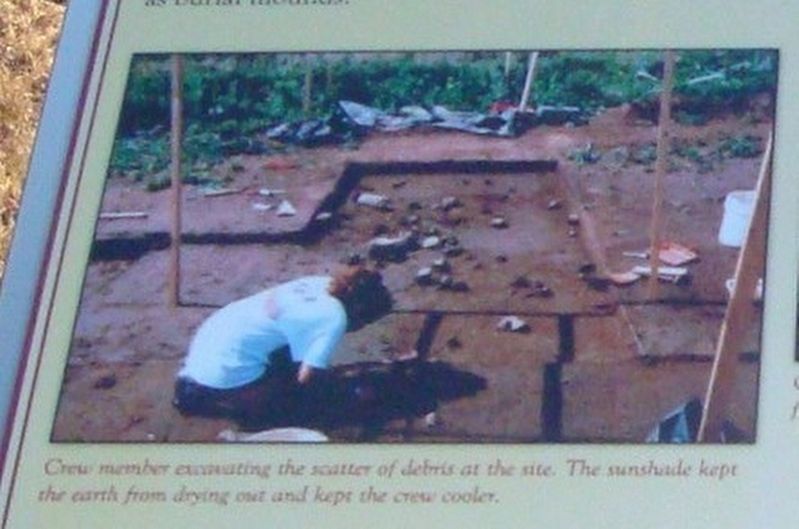
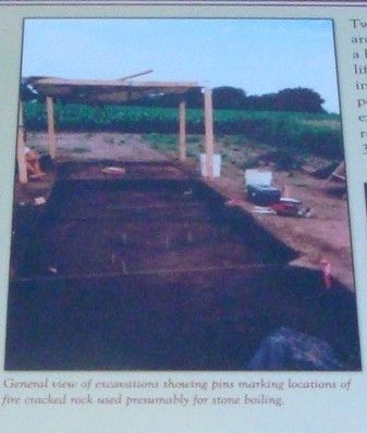
Two types of occupation are found at Bliss Hill – an archaic village with a hunting/gathering lifestyle and a late Plains village characterized by an agricultural lifestyle and large villages. Research at the site started in 1987, when the site was split and the center portion destroyed by construction. During excavation, 23,727 artifacts including fire-cracked rock and stone tools were discovered along with 3,893 bison bones.
Erected by South Dakota Historical Society, Preserve America, Deadwood Historic Preservation Commission.
Topics. This historical marker is listed in this topic list: Indigenous Peoples and Communities. A significant historical year for this entry is 1987.
Location. 42° 46.899′ N, 96° 57.087′ W.
this page online

Regionally, this marker is in East River. It is also in the American Lewis & Clark Corridor, on the prairies, and on the Northern Plains. Globally, it is in North America, the Western Hemisphere, the Western World, and the Anglosphere. Historically, it finds itself in what was once Rupert’s Land and also the Louisiana Purchase.
Other nearby markers. At least 8 other markers are within 2 miles of this marker, measured as the crow flies: Old Vermillion (approx. half a mile away); Vermillion / Historic Highway (approx. ¾ mile away); Clay County Veterans Memorial (approx. 0.8 miles away); Governor Andrew E. Lee (approx. 0.9 miles away); Downtown Vermillion (approx. one mile away); The First Baptist Church, Vermillion, South Dakota (approx. 1.1 miles away); Grand Lodge Constitution Site (approx. 1.1 miles away); Site of the First Permanent School House in Dakota Territory
Photographed by Roger Dean Meyer, November 11, 2011
2. Fire Cracked Rock Exposed as Part of Excavation
Photographed by Roger Dean Meyer, November 11, 2011
3. Excavation of Scattered Prehistoric Material
Photographed by Roger Dean Meyer, November 11, 2011
4. Excavation Site at Bliss Hill
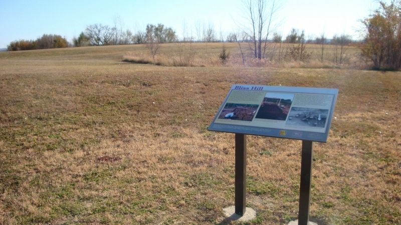
Photographed by Roger Dean Meyer, November 11, 2011
5. Distance View of Bliss Hill Marker
Credits. This page was last revised on January 29, 2026. It was originally submitted on January 29, 2026, by Roger Dean Meyer of Yankton, South Dakota. This page has been viewed 77 times since then. Photos: 1, 2, 3, 4, 5. submitted on January 29, 2026, by Roger Dean Meyer of Yankton, South Dakota.
