
Near Fayetteville in Fayette County, West Virginia — The American South (Appalachia)
Changing Community
New River Gorge National Park and Preserve
| — | National Park Service, U.S. Department of the Interior | — |
Photographed by Tom Bosse, September 20, 2025
1. Changing Community Marker
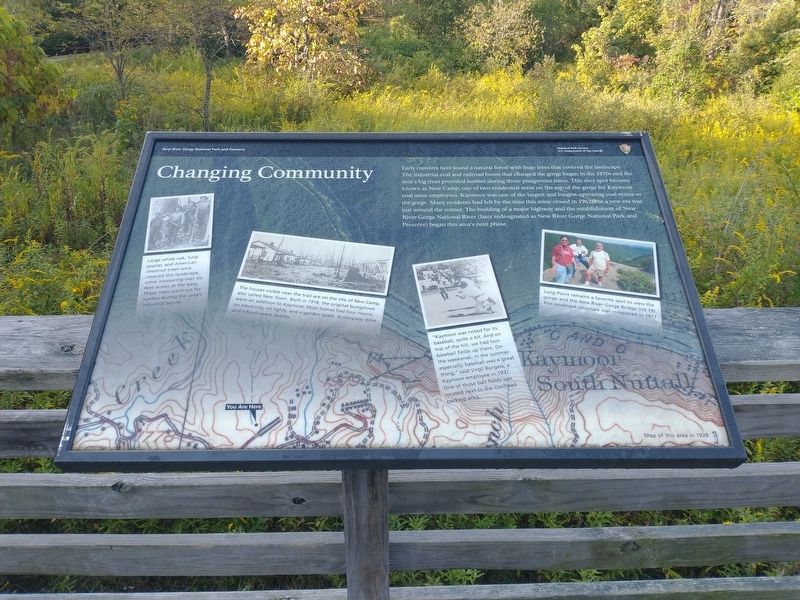
Early travelers here found a natural forest with huge trees that covered the landscape. The industrial coal and railroad boom that changed the gorge began in the 1870s and the area's big trees provided lumber during those prosperous times. This very spot became known as New Camp, one of two residential areas on the top of the gorge for Kaymoor coal mine employees. Kaymoor was one of the largest and longest operating coal mines in the gorge. Many residents had left by the time this mine closed in 1962, but a new era was just around the corner. The building of a major highway and the establishment of New River Gorge National River (later redesignated as New River Gorge National Park and Preserve) began this area's next phase.
[Captions:]
Large white oak, tulip poplar, and American chestnut trees once covered this landscape, some measuring over six feet across at the base. These trees were cut for lumber during the area's industrial boom.
The houses visible near the trail are on the site of New Camp, also called New Town. Built in 1918, the original bungalows were an addition to Kaymoor. Most homes had four rooms, no electricity, oil lights, and a garden space. A company store and schools were nearby. "Kaymoor was noted for its baseball, quite a bit. And on top of the hill, we had two baseball fields up there. On the weekends, in the summer especially, baseball was a great thing", said Virgil Burgess, a Kaymoor employee in 1937. One of those ball fields was located next to the trailhead parking area.
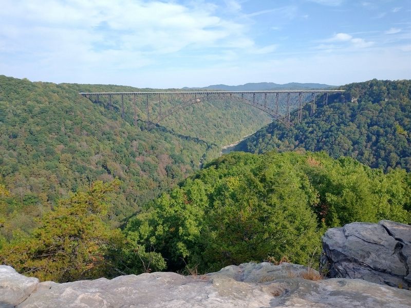
Long Point remains a favorite spot to view the gorge and the New River Gorge Bridge (US 19). This landmark structure was completed in 1977.
Erected by National
this page online
Topics. This historical marker is listed in these topic lists: Horticulture & Forestry • Industry & Commerce • Parks & Recreational Areas • Settlements & Settlers. A significant historical year for this entry is 1962.
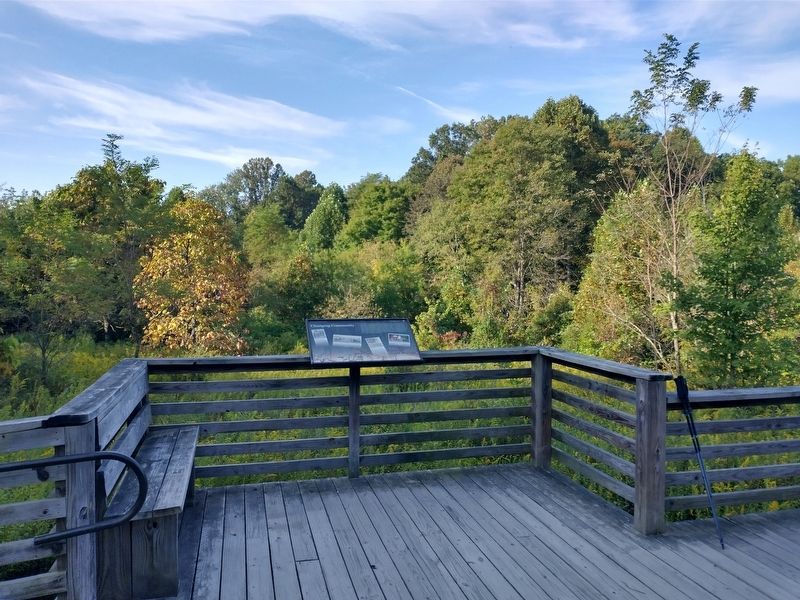
Location. 38° 2.63′ N, 81° 4.603′ W. Marker is near Fayetteville, West Virginia, in Fayette County. It is on Long Point Trail (County Road 9-8) north of Timber Ridge Trail, on the left when traveling north. Marker is located on the Long Point Hiking Trail within the New River Gorge National Park and Preserve. Touch for map. Marker is at or near this postal address: 276 County Rte 9-8, Fayetteville WV 25840, United States of America. Touch for directions.

Regionally, this marker is in the New River Gorge and in Greater Charleston Area. It is also in the American South, specifically in the Upper South, in Appalachia, and specifically in Southern Appalachia. Globally, it is in North America, the Western Hemisphere, the Western World, and the Anglosphere. Historically, it finds itself in what was once the territory of the Mississippian Culture.
Other nearby markers. At
Photographed by Tom Bosse, September 20, 2025
2. Changing Community Marker

Photographed by Tom Bosse, September 20, 2025
3. Changing Community Marker
Photographed by Tom Bosse, September 20, 2025
4. The View from Long Point Overlook.
Credits. This page was last revised on February 2, 2026. It was originally submitted on February 1, 2026, by Tom Bosse of Jefferson City, Tennessee. This page has been viewed 24 times since then. Photos: 1, 2, 3, 4. submitted on February 1, 2026, by Tom Bosse of Jefferson City, Tennessee. • Devry Becker Jones was the editor who published this page.
