
Near Bay City in Matagorda County, Texas — The American South (West South Central)
Selkirk Island
Photographed by Dave W, January 31, 2026
1. Selkirk Island Marker
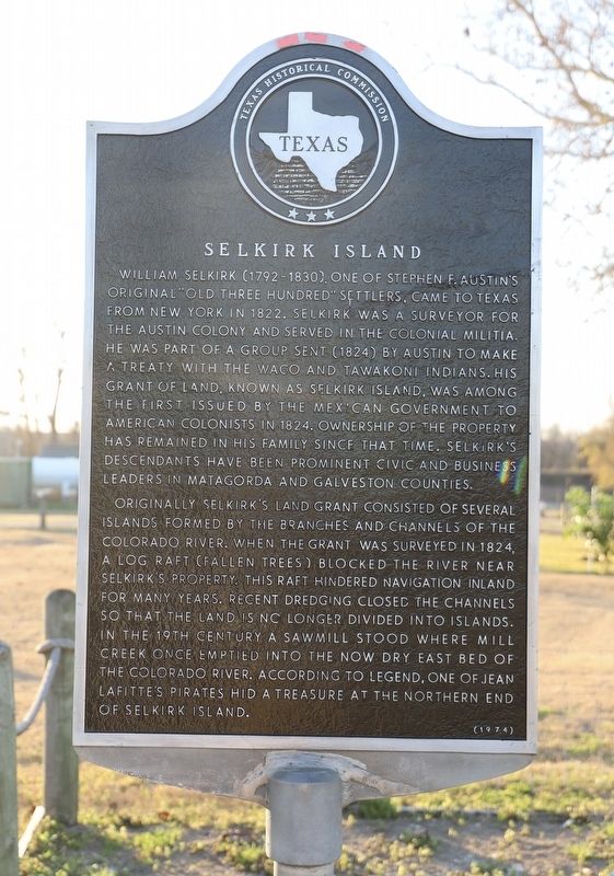
William Selkirk (1792-1830), one of Stephen F. Austin's original "Old Three Hundred" settlers, came to Texas from New York in 1822. Selkirk was a surveyor for the Austin colony and served in the colonial Militia. He was part of a group sent (1824) by Austin to make a treaty with the Waco and Tawakoni Indians. His grant of land, known as Selkirk Island, was among the first issued by the Mexican government to American colonists in 1824. Ownership of the property has remained in his family since that time. Selkirk's descendants have been prominent civic and business leaders in Matagorda and Galveston counties.
Originally Selkirk's land grant consisted of several islands formed by the branches and channels of the Colorado River. When the grant was surveyed in 1824, a log raft (fallen trees) blocked the river near Selkirk's property. This raft hindered navigation inland for many years. Recent dredging closed the channels so that the land is no longer divided into islands. In the 19th century a sawmill stood where Mill Creek once emptied into the now dry east bed of the Colorado River. According to legend, one of Jean Lafitte's
this page online
Erected 1974 by Texas Historical Commission. (Marker Number 4635.)
Topics. This historical marker is listed in these topic lists: Settlements & Settlers • Waterways & Vessels. A significant historical year for this entry is 1824.
Location. 28° 46.085′ N, 96° 0.01′ W. Marker is near Bay City, Texas, in Matagorda County. It is at the intersection of Selkirk Drive and Zipprian Way (County Road 239), on the right when traveling west on Selkirk Drive. Touch for map. Marker is at or near this postal address: 31 Selkirk Dr, Bay City TX 77414, United States of America. Touch for directions.

Regionally, this marker is in the American South and on the Gulf Coast. Globally, it is in North America, a Gulf of Mexico state, the Western Hemisphere, the Western World, and the Anglosphere. Historically, it finds itself in what was once New Spain, the Republic of Texas, one of the Confederate States of America, and the Antebellum South.
Other nearby markers. At least 8 other markers are within 6 miles of this marker, measured as the crow flies: St. Francis Catholic Church
Photographed by Dave W, January 31, 2026
2. Selkirk Island Marker
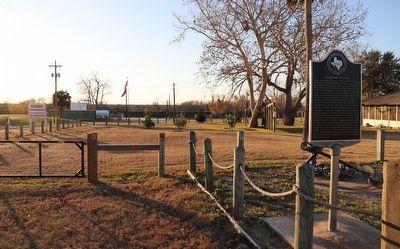
Looking west from the marker you can see the river in the distance.
Photographed by Dave W, January 31, 2026
3. Selkirk Island Marker
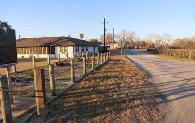
Looking north along Selkirk Ln.
Credits. This page was last revised on February 2, 2026. It was originally submitted on February 2, 2026, by Dave W of Co, Colorado. This page has been viewed 53 times since then. Photos: 1, 2, 3. submitted on February 2, 2026, by Dave W of Co, Colorado. • James Hulse was the editor who published this page.
