Taylorsville in Salt Lake County, Utah — The American Mountains (Southwest)
Sulky Plow
Photographed by Jeremy Snow, January 15, 2026
1. Sulky Plow Marker
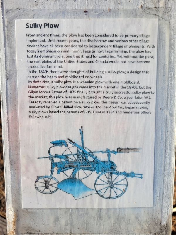
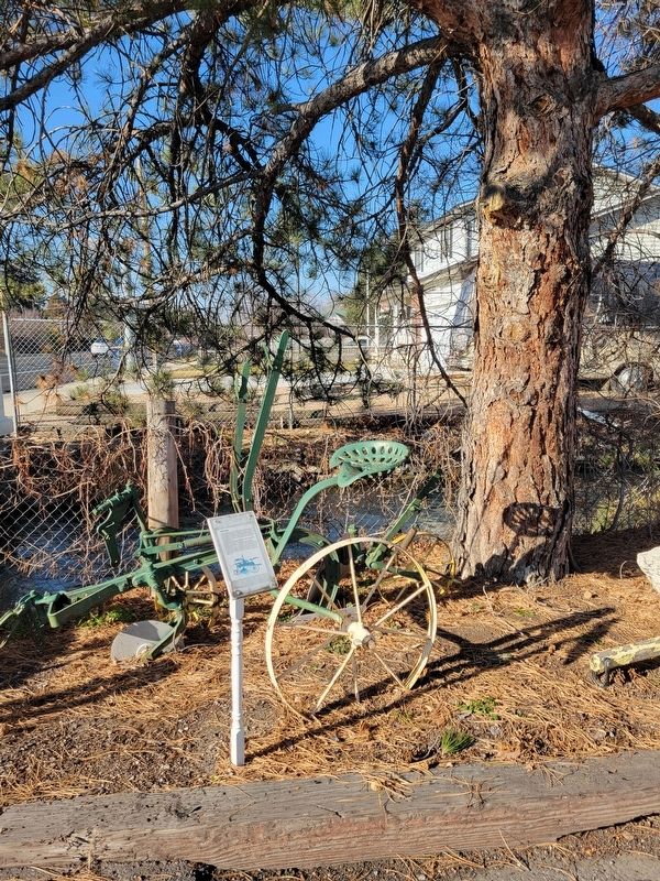
In the 1840s there were thoughts of building a sulky plow, a design that carried the beam and moldboard on wheels.
By definition, a sulky plow is a wheeled plow with one moldboard. Numerous sulky plow designs came into the market in the 1870s, but the Gilpin Moore Patent of 1875 finally brought a truly successful sulky plow to the market; this plow was manufactured by Deere & Co. a year later, W.L Casaday received a patent on a sulky plow; this design was subsequently marketed by Oliver Chilled Plow Works. Moline Plow Co., began making sulky plows based the patents of G.W. Hunt in 1884 and numerous others followed suit.
Topics. This historical
this page online
Location. 40° 39.858′ N, 111° 56.021′ W. Marker is in Taylorsville, Utah, in Salt Lake County. It is on West 4800 South, on the right when traveling west. On the west side of the Taylorsville Bennion Heritage Center parking lot. Touch for map. Marker is at or near this postal address: 1500 W 4800 S, Salt Lake City UT 84123, United States of America. Touch for directions.

Regionally, this marker is in the Wasatch Front and in Greater Salt Lake. It is also in the American Mountain West and on the Colorado Plateau. Globally, it is in North America, the Rocky Mountains, the Western Hemisphere, the Western World, and the Anglosphere. Historically, it finds itself in what was once New Spain and also Mexico’s Alta California.
Other nearby markers. At least 8 other markers are within walking distance of this marker: Mowers (here, next to this marker); Hay Loaders (here, next to this marker); Hay Rake (a few steps from this marker); Taylorsville Baptisms (a few steps from this marker); Manure Spreader (within shouting distance of this
Photographed by Jeremy Snow, January 15, 2026
2. Sulky Plow Marker

Photographed by Jeremy Snow, January 15, 2026
3. Taylorsville Bennion Heritage Center
Credits. This page was last revised on February 5, 2026. It was originally submitted on February 3, 2026, by Jeremy Snow of Cedar City, Utah. This page has been viewed 96 times since then. Photos: 1, 2, 3. submitted on February 3, 2026, by Jeremy Snow of Cedar City, Utah. • Andrew Ruppenstein was the editor who published this page.
