Taylorsville in Salt Lake County, Utah — The American Mountains (Southwest)
Hay Rake

Photographed by Jeremy Snow, January 15, 2026
1. Hay Rake Marker
During the 1880s the side-delivery rake appeared infrequently, but was fairly well perfected by 1890, within a few years it became the predominant method, with the dump rake enjoying only a fraction of its form popularity. Another device to make its appearance in the 1880s was the hay tedder, a device for lifting hay so that it would dry, but not leaving it in a windrow. A few companies built combination side-delivery rakes and hay tedders. By that time, however, the benefits of using a tedder were put to question, so the idea gained mediocre support.
Topics. This historical marker is listed in this topic list: Agriculture. A significant historical year for this entry is 1880.
Location. 40° 39.862′ N, 111° 56.016′ W. Marker is in Taylorsville, Utah, in Salt Lake County. It is on West 4800 South, on the right when traveling
this page online

Regionally, this marker is in the Wasatch Front and in Greater Salt Lake. It is also in the American Mountain West and on the Colorado Plateau. Globally, it is in North America, the Rocky Mountains, the Western Hemisphere, the Western World, and the Anglosphere. Historically, it finds itself in what was once New Spain and also Mexico’s Alta California.
Other nearby markers. At least 8 other markers are within walking distance of this marker: Hay Loaders (here, next to this marker); Sulky Plow (a few steps from this marker); Mowers (a few steps from this marker); Taylorsville Baptisms (a few steps from this marker); Manure Spreader (a few steps from this marker); Potato Machinery (a few steps from this marker); Cultivator (a few steps from this marker); John and Jeanette Gerrard House (within shouting distance of this marker). Touch for a list and map of all markers in Taylorsville.
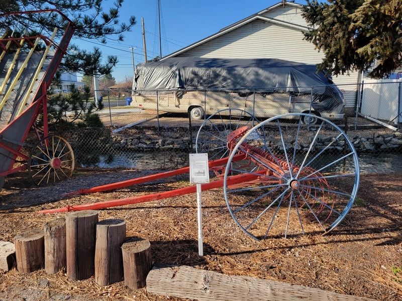
Photographed by Jeremy Snow, January 15, 2026
2. Hay Rake Marker
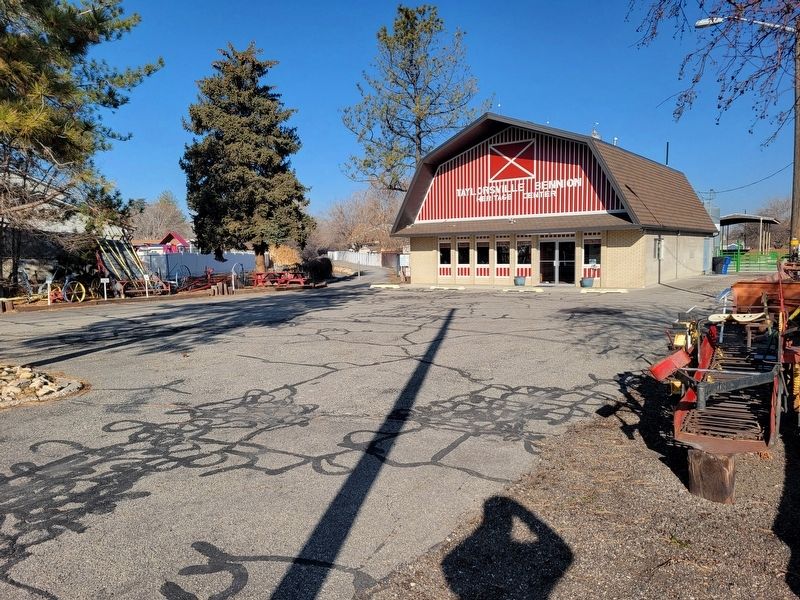
Photographed by Jeremy Snow, January 15, 2026
3. Taylorsville Bennion Heritage Center
Credits. This page was last revised on February 5, 2026. It was originally submitted on February 3, 2026, by Jeremy Snow of Cedar City, Utah. This page has been viewed 53 times since then. Photos: 1, 2, 3. submitted on February 3, 2026, by Jeremy Snow of Cedar City, Utah. • Andrew Ruppenstein was the editor who published this page.
