Lahaina in Maui County, Hawaii — Hawaiian Island Archipelago (Pacific Ocean)
Maka oi oi
| — | Ala Hele Kapalua Heritage Trail | — |
Photographed by Darren Jefferson Clay, December 7, 2025
1. Maka oi oi Marker
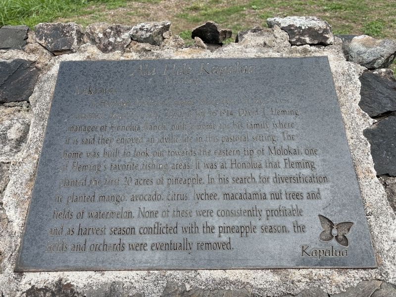
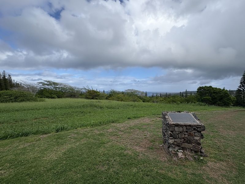
In Hawaiian, Maka oi oi means, sharp eyes, or more loosely translated beautiful view. On this site in 1914, David T Fleming, manager of Honolua Ranch, built a home for his family where it is said they enjoyed an idyllic life in this pastoral setting. The home was built to look out towards the eastern tip of Molokai, one of Fleming's favorite fishing areas. It was at Honolua that Fleming planted the first 20 acres of pineapple. In his search for diversification he planted mango, avocado, citrus, lychee, macadamia nut trees and fields of watermelon. None of these were consistently profitable and as harvest season conflicted with the pineapple season, the fields and orchards were eventually removed.
Topics. This historical marker is listed in these topic lists: Agriculture • Settlements & Settlers.
Location. 20° 59.664′ N, 156° 39.318′ W. Marker is in Lahaina, Hawaii, in Maui County. It is at the intersection of Simpson Way and Pineapple Road, on the right when traveling west on Simpson Way. Touch for map. Marker is at or near this postal address: 108 Woodrose Pl,
this page online

Regionally, this marker is in Lahaina and West Maui. Globally, it is in North America, in Polynesia, in the Pacific Ocean, in North Pacific, on the Pacific Rim, in the Western Hemisphere, in the Western World, and in the Anglosphere.
Other nearby markers. At least 8 other markers are within 5 miles of this marker, measured as the crow flies: The Bay Course (approx. 0.3 miles away); Honolua Store (approx. 0.3 miles away); Cook Pine Trees (approx. 0.3 miles away); The Kapalua Villas Reception Center (approx. 0.3 miles away); Honokahua (approx. 0.6 miles away); D.T. Fleming Aloe Patch (approx. 0.6 miles away); Honokahua Burial Site (approx. 0.6 miles away); Ka'anapali Airport (HKP) 1961-1986 (approx. 4.7 miles away). Touch for a list and map of all markers in Lahaina.
Photographed by Darren Jefferson Clay, December 7, 2025
2. Maka oi oi Marker
Credits. This page was last revised on February 9, 2026. It was originally submitted on February 4, 2026, by Darren Jefferson Clay of Duluth, Georgia. This page has been viewed 49 times since then. Photos: 1, 2. submitted on February 8, 2026, by Darren Jefferson Clay of Duluth, Georgia. • Devry Becker Jones was the editor who published this page.
