Boerne in Kendall County, Texas — The American South (West South Central)
Tunneling Texas
Blasting through Big Hill and beyond
Photographed by James Hulse, February 5, 2026
1. Tunneling Texas Marker
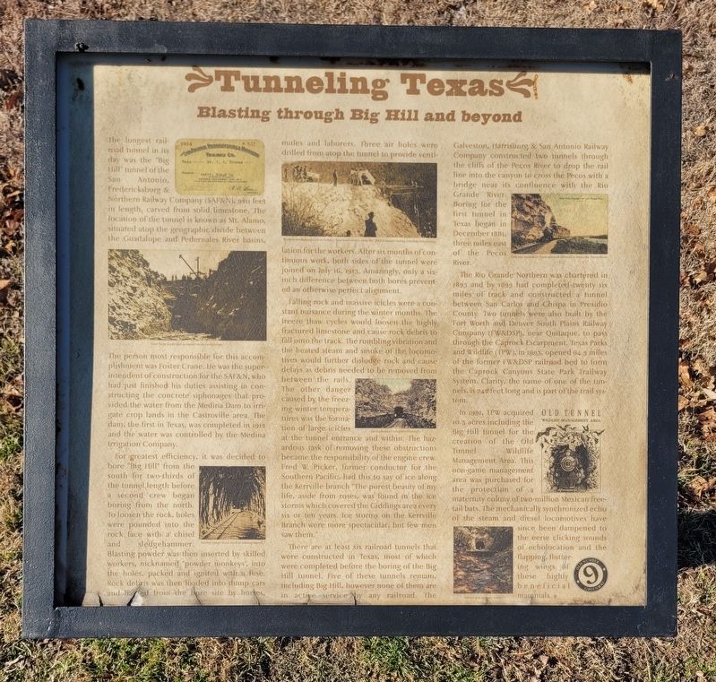
For greatest efficiency, it was decided to bore "Big Hill" from the south for two-thirds of the tunnel length before a second crew began boring from the north. To loosen the rock, holes, were pounded into the rock face with a chisel and sledgehammer. Blasting powder was then inserted by skilled workers, nicknamed "powder monkeys", into the holes, packed and ignited with a fuse. Rock debris was
this page online
Falling rock and massive icicles were a constant nuisance during the winter months. The freeze thaw cycles would loosen the highly fractured limestone and cause rock debris to fall onto the track. The rumbling vibration and the heated steam and smoke of the locomotives would further dislodge rock and cause delays as debris needed to be removed from between the rails. The other danger caused by the freezing winter temperatures was the formation of large icicles at the tunnel entrance and within. The hazardous task of removing these obstructions became the responsibility of the engine crew. Fred W. Picker, former conductor for the Southern Pacific, had this to say of ice along the Kerrville branch "The purest beauty of my life, aside from roses, was found in the ice storms
Photographed by James Hulse, February 5, 2026
2. Tunneling Texas Marker
There are at least six railroad tunnels that were constructed in Texas, most of which were completed before the boring of the Big Hill tunnel. Five of these tunnels remain, including Big Hill, however none of them are in active service by any railroad. The Galveston, Harrisburg & San Antonio Railway Company constructed two tunnels through the cliffs of the Pecos River to drop the rail line into the canyon to cross the Pecos with a bridge near its confluence with the Rio Grande River. Boring for the first tunnel in Texas began in December 1881, three miles east of the Pecos River.
The Rio Grande Northern was chartered in 1893 and by 1895 had completed twenty six miles of track and constructed a tunnel between San Carlos and Chispa in Presidio County. Two tunnels were also built by the Fort Worth and Denver South Plains Railway Company (FW&DSP), near Quitaque, to pass through the Caprock Escarpment. Texas Parks and Wildlife (TPW), in 1993, opened 64.5 miles of the former FW&DSP railroad bed to
Photographed by James Hulse, February 5, 2026
3. Tunneling Texas Marker
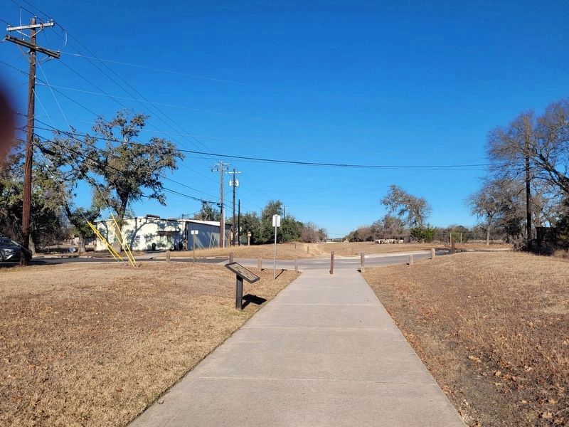
The view of the marker looking north along the railroad hiking trail.
In 1991, TPW acquired 10.3 acres including the Big Hill tunnel for the creation of the Old Tunnel Wildlife Management Area. This non-game management area was purchased for the protection of a maternity colony of two-million Mexican freetail bats. The mechanically synchronized echo of the steam and diesel locomotives have since been dampened to the eerie clicking sounds of echolocation and the flapping, fluttering wings of these highly beneficial mammals.
Captions
(Photo #1) View from south end as tunnel nears completion.
(Photo #2) Narrow-gauge track used in mining tunnel.
(Photo #3) Workers use mining cars to remove limestone debris from the SAF&N tunnel during construction in 1913.
(Photo #4) Early photo of completed tunnel.
(Photo #5) First two tunnels in Texas allowed this trail to cross the Pecos River.
(Photo #6) Old Tunnel Wildlife Management Area.
(Photo #7) Tunnel as it appears today.
Erected by Old Number 9 Greenway.
Topics. This historical marker is
Photographed by James Hulse, February 5, 2026
4. Tunneling Texas Marker
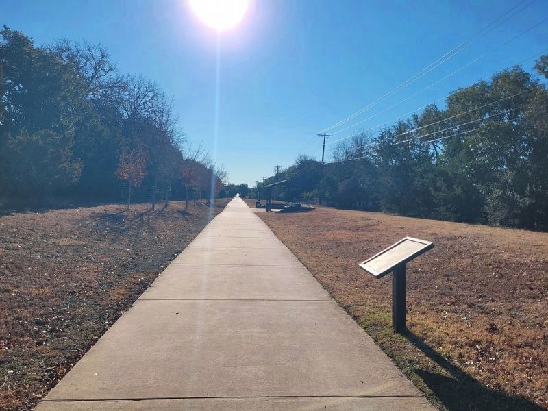
The view of the marker looking south along the railroad hiking trail.
Location. 29° 48.095′ N, 98° 44.005′ W. Marker is in Boerne, Texas, in Kendall County. It is at the intersection of East Frederick Street and Garden Street, on the right when traveling east on East Frederick Street. Touch for map. Marker is at or near this postal address: 130 E Frederick St, Boerne TX 78006, United States of America. Touch for directions.

Regionally, this marker is in the Hill Country and in the San Antonio Metropolitan Area. Globally, it is in North America, a Gulf of Mexico state, the Western Hemisphere, the Western World, and the Anglosphere. Historically, it finds itself in what was once New Spain, the Republic of Texas, and one of the Confederate States of America.
Other nearby markers. At least 8 other markers are within walking distance of this marker: Early Kendall County Farming and Ranching (approx. 0.2 miles away); Native Plants (approx. 0.2 miles away); Wells and Windmills (approx. ¼ mile away); Heavenly Healing Hills (approx. ¼ mile away); Civic Campus History (approx. ¼ mile away); Local Groundwater (approx. ¼ mile away); History of Boerne (approx. ¼ mile away); History of Kendall County (approx. ¼ mile away). Touch for a list and map of all markers in Boerne.
Credits. This page was last revised on February 5, 2026. It was originally submitted on February 5, 2026, by James Hulse of Medina, Texas. This page has been viewed 75 times since then. Photos: 1, 2, 3, 4. submitted on February 5, 2026, by James Hulse of Medina, Texas.
