Taylorsville in Salt Lake County, Utah — The American Mountains (Southwest)
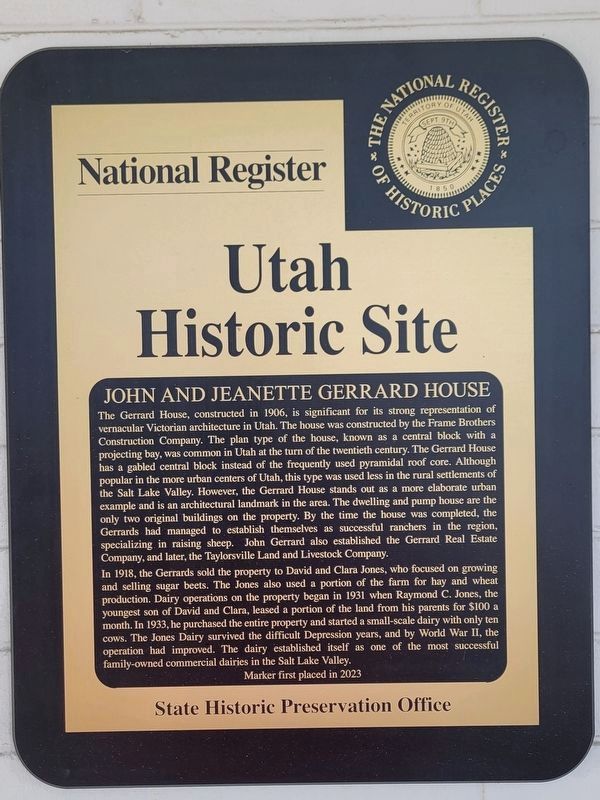
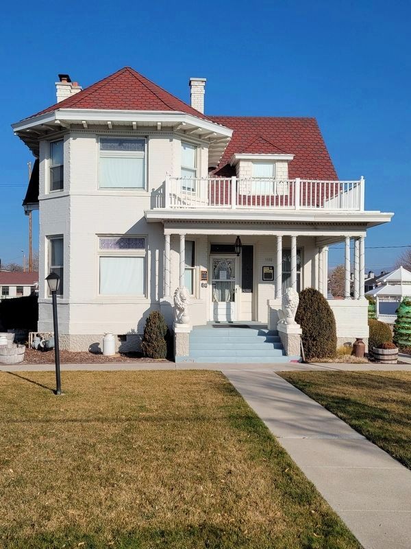
John and Jeanette Gerrard House
Utah Historic Site
| — | National Register of Historic Places | — |
Photographed by Jeremy Snow, January 15, 2026
1. John and Jeanette Gerrard House Marker
In 1918, the Gerrards sold the property to David and Clara Jones, who focused on growing and selling sugar
this page online
Erected 2023 by Utah State Historic Preservation Office.
Topics and series. This historical marker is listed in these topic lists: Agriculture • Architecture. In addition, it is included in the Utah Historic Sites (NRHP) series list. A significant historical year for this entry is 1906.
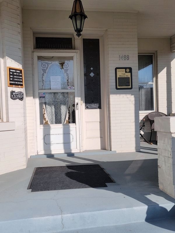
Location. 40° 39.865′ N, 111° 55.99′ W. Marker is in Taylorsville, Utah, in Salt Lake County. It is on West 4800 South, on the right when traveling west. The building houses the Taylorsville-Bennion Heritage Center. Touch for map. Marker is at or near this postal address: 1488 W 4800 S,
Photographed by Jeremy Snow, January 15, 2026
2. John and Jeanette Gerrard House Marker

Regionally, this marker is in the Wasatch Front and in Greater Salt Lake. It is also in the American Mountain West and on the Colorado Plateau. Globally, it is in North America, the Rocky Mountains, the Western Hemisphere, the Western World, and the Anglosphere. Historically, it finds itself in what was once New Spain and also Mexico’s Alta California.
Other nearby markers. At least 8 other markers are within walking distance of this marker: Manure Spreader (a few steps from this marker); Potato Machinery (a few steps from this marker); Cultivator (a few steps from this marker); Taylorsville Baptisms (within shouting distance of this marker); Hay Rake (within shouting distance of this marker); Hay Loaders (within shouting distance of this marker); Sulky Plow (within shouting distance of this marker); Mowers (within shouting distance of this marker). Touch for a list and map of all markers in Taylorsville.
Photographed by Jeremy Snow, January 15, 2026
3. John and Jeanette Gerrard House
Credits. This page was last revised on February 12, 2026. It was originally submitted on February 5, 2026, by Jeremy Snow of Cedar City, Utah. This page has been viewed 55 times since then. Photos: 1, 2, 3. submitted on February 5, 2026, by Jeremy Snow of Cedar City, Utah. • Andrew Ruppenstein was the editor who published this page.
