Near Islandia in Miami-Dade County, Florida — The American South (South Atlantic)
Biscayne Bay
| — | Biscayne National Park | — |
Photographed by James Hulse, January 9, 2026
1. Biscayne Bay Marker
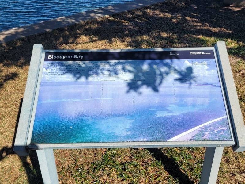
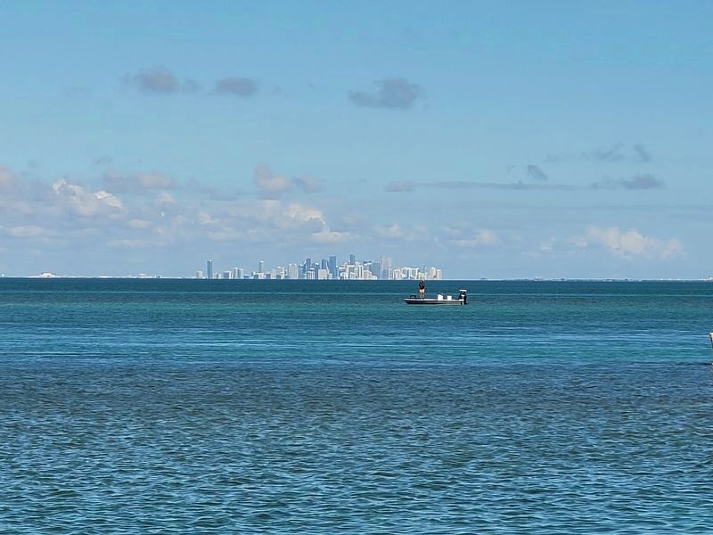
 Biscayne Bay's fragile ecosystem is being threatened. The urban growth of Miami, whose skyline is visible on the horizon, pressures the bay's resources daily. Careless boaters, whose propellers uproot the bay's seagrasses, cause scars that take years to heal.
Spanish explorers discovered this bay in the 1500s and named it Biscayne after the island of Biscaynaro, now known as Key Biscayne.
El frágil ecosistema de Biscayne Bay está amenazado. El crecimiento urbano de Miami, cuya línea se ve en el horizonte, presiona los recursos de la bahía diariamente. Descuidados boteros, cuyas hélices arrancan los pastos marinos de raíz, dejan cicatrices que toman muchos años para cerrarse.
Los exploradores españoles descubrieron esta bahía en el siglo XVI y la llamaron Biscayne en honor a la isla de Biscaynaro, conocida actualmente como Key Biscayne.
Erected by Biscayne National Park, National Park Service, U.S. Department of the Interior.
Topics. This historical marker is listed in this topic list: Parks & Recreational Areas.
Location. 25° 31.495′ N, 80° 10.561′ W.
this page online

Regionally, this marker is in South Florida, on the Gold Coast, and in Greater Miami. It is also in the American South and on the Eastern Seaboard. Globally, it is in the North Atlantic Region, North America, a Gulf of Mexico state, the Western Hemisphere, the Western World, and the Anglosphere. Historically, it finds itself in what was once New Spain, the territory of the Mississippian Culture, one of the Confederate States of America, and the Antebellum South.
Other nearby markers. At least 8 other markers are within 10 miles of this marker, measured as the crow flies: Shaping Boca Chita Key (within shouting distance of this marker); Boca Chita Key (about 500 feet away, measured in a direct line); Honeywell's Estate (about 500 feet away); Homes That Hover (approx. 9.8 miles away); Key Biscayne, The Barrier Island
Photographed by James Hulse, January 9, 2026
2. Biscayne Bay Marker
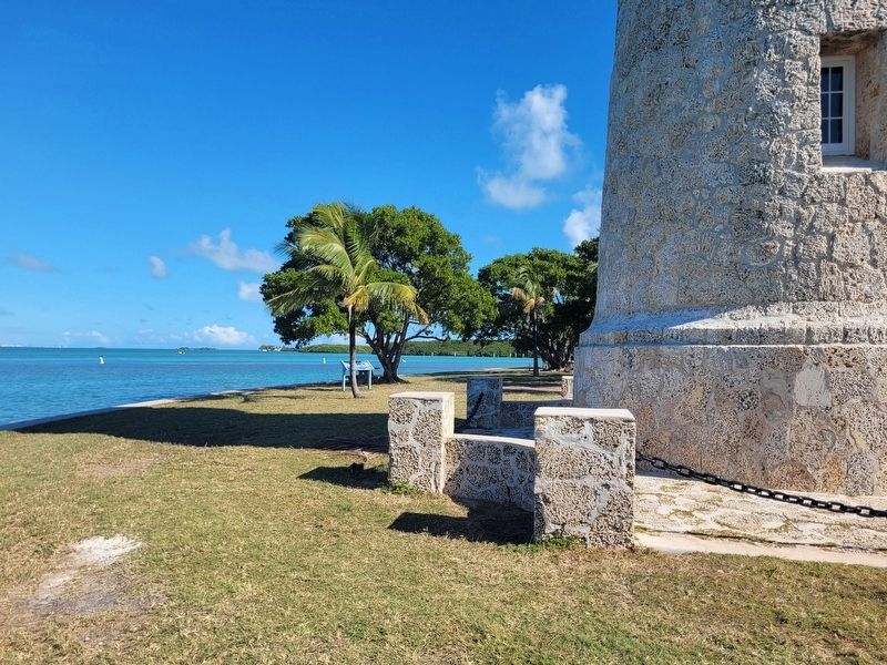
The marker is located along the water in the background.
Also see . . . Biscayne National Park. (Submitted on February 6, 2026, by James Hulse of Medina, Texas.)
Photographed by James Hulse, January 9, 2026
3. Biscayne Bay Marker
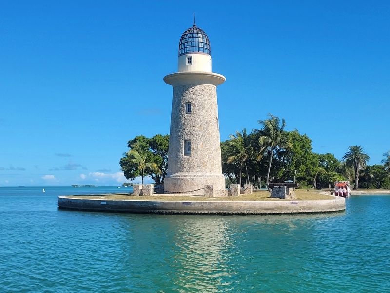
The view of the historic lighthouse on Boca Chita Key.
Photographed by James Hulse, January 9, 2026
4. Biscayne Bay
The view of Biscayne Bay and Miami from Boca Chita Key.
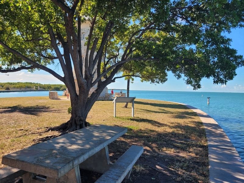
Photographed by James Hulse, January 9, 2026
5. Biscayne Bay Marker
The view of the marker in reverse.
Credits. This page was last revised on February 6, 2026. It was originally submitted on February 5, 2026, by James Hulse of Medina, Texas. This page has been viewed 63 times since then. Photos: 1, 2, 3, 4, 5. submitted on February 6, 2026, by James Hulse of Medina, Texas.
