Jetersville in Amelia County, Virginia — The American South (Mid-Atlantic)
Amelia Springs
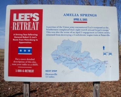
Lee's Retreat
| — | April 6, 1865 | — |
Photographed by Bernard Fisher, March 18, 2010
1. Amelia Springs Marker
A portion of the Union army encountered Lee’s rearguard as the Southerners completed their night march around Grant's troops. This was also the scene of an April 5 engagement as Union cavalry returned from destroying a Confederate wagon train at Paineville.
Next Stop
Deatonville
3.3 miles
Erected by Lee's Retreat. (Marker Number 7.)
Topics. This historical marker is listed in this topic list: War, US Civil. A significant day of the year for for this entry is April 5.
Location. Marker has been reported permanently removed. It was located near 37° 20.023′ N, 78° 6.5′ W. Marker was in Jetersville, Virginia, in Amelia County. It was on Amelia Springs Road (Virginia Route 642) 0.2 miles south of St. James Road, on the right when traveling north. Touch for map. Marker was in this post office area: Jetersville VA 23083, United States of America.
We have been informed that this marker is no longer there and will not be replaced. This page is an archival view of what was.
Regionally, this marker was in the Piedmont and in Central Virginia. It was also in the American South and specifically in the Upper South. Globally,

this page online
Other nearby markers. At least 8 other markers are within 4 miles of this location, measured as the crow flies: A different marker also named Amelia Springs (here, next to this marker); Lee's Retreat (approx. 2.7 miles away); a different marker also named Lee's Retreat (approx. 2.7 miles away); a different marker also named Lee's Retreat (approx. 2.7 miles away); a different marker also named Lee's Retreat (approx. 2.7 miles away); a different marker also named Lee's Retreat (approx. 2.7 miles away); Jetersville (approx. 2.8 miles away); a different marker also named Deatonville (approx. 3.3 miles away). Touch for a list and map of all markers in Jetersville.
Another marker is no longer nearby. Deatonville (was approx. 3.3 miles away but has been permanently removed).
Also see . . .
1. Lee's Retreat. Virginia Retreat (Submitted on March 20, 2010, by Bernard Fisher of Richmond, Virginia.)
2. Amelia Springs.
Photographed by Bernard Fisher, March 18, 2010
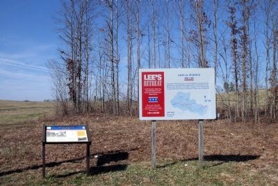
2. Amelia Springs Markers
Photographed by Bernard Fisher, March 18, 2010
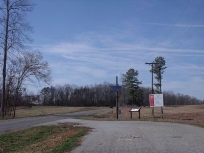
3. Amelia Springs Rd (facing north)
Credits. This page was last revised on February 8, 2026. It was originally submitted on March 20, 2010, by Bernard Fisher of Richmond, Virginia. This page has been viewed 1,855 times since then and 60 times this year. Last updated on February 7, 2026, by Evan Dwyer of Richmond, Virginia. Photos: 1, 2, 3. submitted on March 20, 2010, by Bernard Fisher of Richmond, Virginia.
