
Lahaina in Maui County, Hawaii — Hawaiian Island Archipelago (Pacific Ocean)
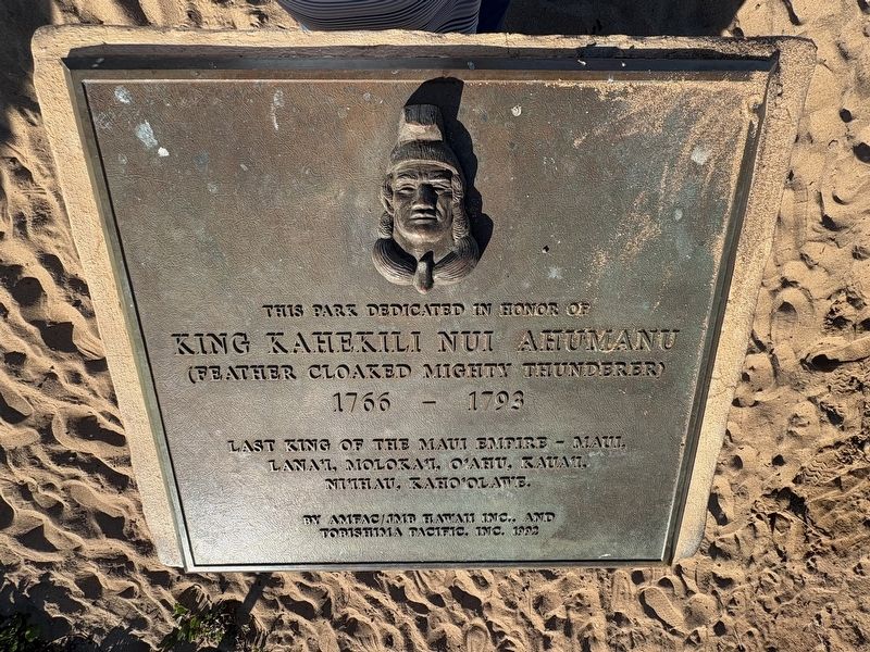
This Park Dedicated in Honor of King Kahekili Nui Ahumanu
Photographed by Darren Jefferson Clay, December 7, 2025
1. This Park Dedicated in Honor of King Kahekili Nui Ahumanu Marker
1766 - 1793
Last King of the Maui Empire - Maui, Lana'i, Moloka'i, O'ahu, Kuau, Ni'ihau, Kaho'olawe.
Erected 1992 by AMFAC; JMB Hawaii Inc., and Tobishima Pacific, Inc.
Topics. This historical marker is listed in these topic lists: Government & Politics • Indigenous Peoples and Communities.
Location. 20° 56.201′ N, 156° 41.558′ W. Marker is in Lahaina, Hawaii, in Maui County. It can be reached from Kai Ala Drive north of Puukolii Road, on the left when traveling north. Touch for map. Marker is at or near this postal address: 65 Kai Ala Dr, Lahaina HI 96761, United States of America. Touch for directions.

Regionally, this marker is in Lahaina and West Maui. Globally, it is in North America, Polynesia, the Pacific Ocean, North Pacific, the Pacific Rim, the Western Hemisphere, the Western World, and the Anglosphere.
Other nearby markers. At least 8 other markers are within 3 miles of this marker, measured as the crow flies: Ka'anapali Airport (HKP) 1961-1986 (a few steps from this marker); Keka'a Landing Pier (approx.
this page online
Photographed by Darren Jefferson Clay, December 7, 2025
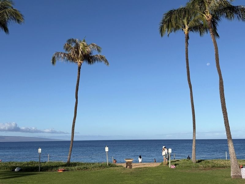
2. This Park Dedicated in Honor of King Kahekili Nui Ahumanu Marker
Credits. This page was last revised on February 9, 2026. It was originally submitted on February 7, 2026, by Darren Jefferson Clay of Duluth, Georgia. This page has been viewed 60 times since then. Photos: 1, 2. submitted on February 8, 2026, by Darren Jefferson Clay of Duluth, Georgia. • Devry Becker Jones was the editor who published this page.
