El Dorado Canyon
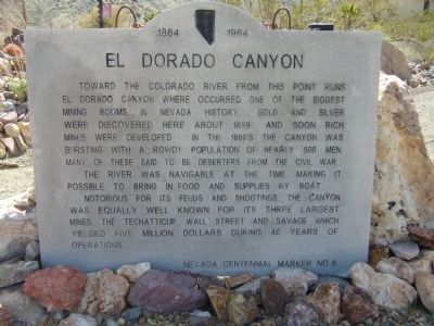
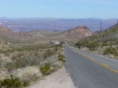
Toward the Colorado River from this point runs El Dorado Canyon where occurred one of the biggest mining booms in Nevada history. Gold and Silver mines were developed here about 1859 and soon rich mines were developed. In the 1860's the canyon was bursting with a rowdy population of nearly 500 men. Many of these said to be deserters from the Civil War.
The river was navigable at the time making it possible to bring in food and supplies by boat.
Notorious for its feuds and shootings, the canyon was equally well known for its three largest mines, the Techatticup, Wall Street and Savage which yielded five million dollars during 40 years of operations.
Erected by The Residents of Nelson. (Marker Number 6.)
Topics. This historical marker is listed in these topic lists: Industry & Commerce • Natural Resources • War, US Civil • Waterways & Vessels. A significant historical year for this entry is 1859.
Location. 35° 42.587′ N, 114° 49.605′ W. Marker is in Nelson, Nevada, in Clark County. Marker is on Nevada Route 165, 11.2 miles east of U.S. 95, on the right when traveling east. Touch for map. Marker is in this post office area: Searchlight NV 89046, United States of America. Touch for directions.
Other nearby markers. At least 6 other markers are within 11 miles of this marker, measured as the crow flies.
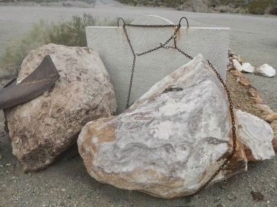
More about this marker. The original concrete marker that was at the intersection of Nevada route 165 and US route 95 was severely damaged when US 95 was widened to four lanes. Tony and Bobbie Werly, owners of the Historic Techatticup Mine, salvaged the marker and through their efforts had this replacement marker constructed.
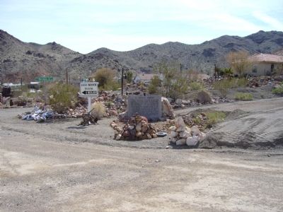
However, by the time the new concrete marker was completed the State of Nevada had determined to use metal markers along roadways. The residents of Nelson decided to set up the new marker at this site near the entrance to the Canyon.
See Nearby Marker El Dorado Canyon for information and current location of the original marker and the Eldorado Canyon marker for information and location of the newer metal replacement state marker.
Credits. This page was last revised on December 22, 2020. It was originally submitted on March 30, 2010, by Bill Kirchner of Tucson, Arizona. This page has been viewed 1,142 times since then and 28 times this year. Photos: 1. submitted on March 30, 2010, by Bill Kirchner of Tucson, Arizona. 2. submitted on February 4, 2016, by Barry Swackhamer of Brentwood, California. 3, 4. submitted on March 30, 2010, by Bill Kirchner of Tucson, Arizona. • Syd Whittle was the editor who published this page.


