United near Nelson in Clark County, Nevada — The American Mountains (Southwest)
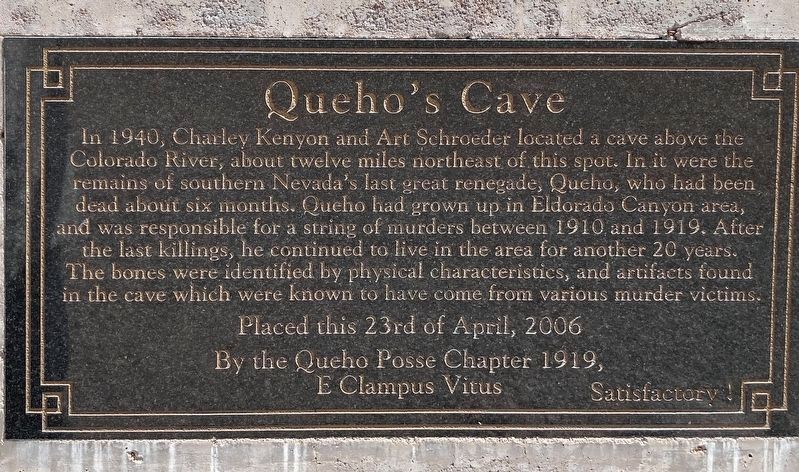
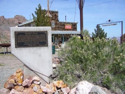
Queho's Cave
Erected 2006 by Queho Posse Chapter 1919, E Clampus Vitus.
Topics and series. This historical marker is listed in these topic lists: Native Americans • Settlements & Settlers. In addition, it is included in the E Clampus Vitus series list. A significant historical year for this entry is 1940.
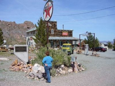
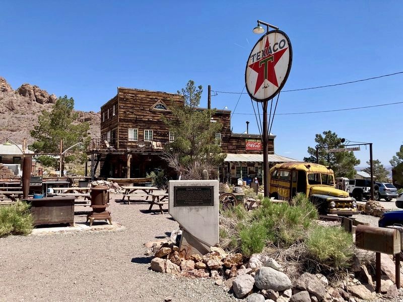
Location. 35° 42.581′ N, 114° 48.225′ W. Marker is near Nelson, Nevada, in Clark County. It is in United. Marker is on Nevada Route 165, 12.9 miles east of U.S. 95, on the left when traveling east. Touch for map. Marker is in this post office area: Searchlight NV 89046, United States of America. Touch for directions.
Other nearby markers. At least 8 other markers are within 16 miles of this marker, measured as the crow flies. Techatticup Mine (within shouting distance of this marker); El Dorado Canyon (within shouting distance of this marker); a different marker also named El Dorado Canyon (approx. 1.3 miles away); Deadly Flash Flood (approx. 5.2 miles away); Eldorado Canyon (approx. 11 miles away); a different marker also named Eldorado Canyon (approx. 11.1 miles away); Explore Lake Mead (approx. 15.9 miles away in Arizona); Taming the Colorado (approx. 15.9 miles away in Arizona). Touch for a list and map of all markers in Nelson.
Also see . . .
1. Queho - Renegade Indian Outlaw. The mystery and legend of renegade Indian, Queho (pronounced Key-Ho), continues to be debated today as to whether he was a scoundrel or a scapegoat. Was the Southern Nevada Indian a true outlaw killer or was he merely blamed by law officers for an abundance of unsolved crimes. (Submitted on April 1, 2010.)
2. QUEHO (1880? - 1935?) Scoundrel or Scapegoat?. An American Indian who chose to live his life by his own rules found himself at odds with the white residents of early Clark County. (Submitted on April 1, 2010.)
Additional keywords. outlaws, renegades
Credits. This page was last revised on April 25, 2023. It was originally submitted on March 30, 2010, by Bill Kirchner of Tucson, Arizona. This page has been viewed 2,736 times since then and 173 times this year. Photos: 1. submitted on April 25, 2023, by Craig Baker of Sylmar, California. 2, 3. submitted on March 30, 2010, by Bill Kirchner of Tucson, Arizona. 4. submitted on April 25, 2023, by Craig Baker of Sylmar, California. • Syd Whittle was the editor who published this page.


