Near Thornton in Limestone County, Texas — The American South (West South Central)
Tidwell (Steele Creek) Cemetery and Community
Photographed by James Hulse, February 10, 2026
1. Tidwell (Steele Creek) Cemetery and Community Marker
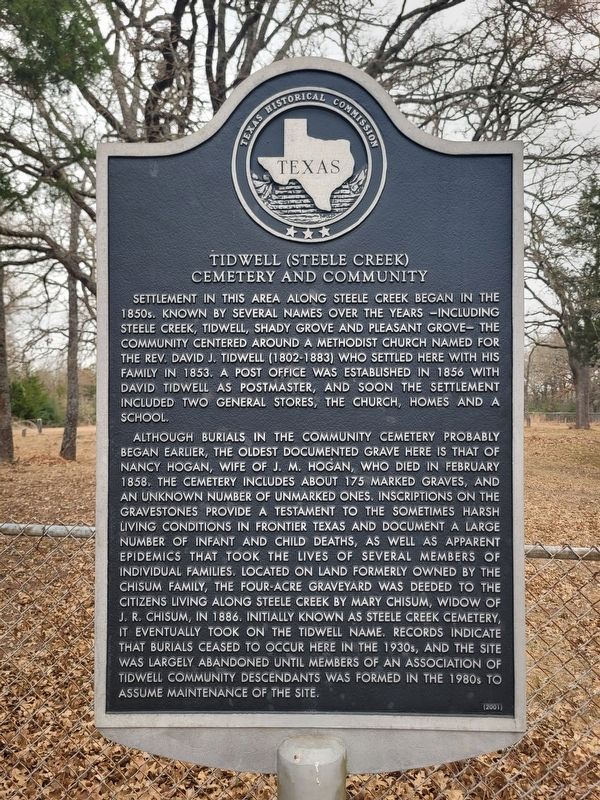
Although burials in the community cemetery probably began earlier, the oldest documented grave here is that of Nancy Hogan, wife of J. M. Hogan, who died in February 1858. The cemetery includes about 175 marked graves, and an unknown number of unmarked ones. Inscriptions on the gravestones provide a testament to the sometimes harsh living conditions in frontier Texas and document a large number of infant and child deaths, as well as apparent epidemics that took the lives of several members of individual families. Located on land formerly owned by the Chisum family, the four-acre graveyard was deeded to the citizens living along Steele Creek by Mary Chisum, widow
this page online
Erected 2001 by Texas Historical Commission. (Marker Number 12396.)
Topics. This historical marker is listed in these topic lists: Cemeteries & Burial Sites • Settlements & Settlers. A significant historical month for this entry is February 1858.
Location. 31° 25.713′ N, 96° 37.425′ W. Marker is near Thornton, Texas, in Limestone County. It is on Tidwell Road ¼ mile north of County Road 648. Touch for map. Marker is in this post office area: Thornton TX 76687, United States of America. Touch for directions.

Regionally, this marker is in the Prairies & Lakes Region. It is also in the American South. Globally, it is in North America, a Gulf of Mexico state, the Western Hemisphere, the Western World, and the Anglosphere. Historically, it finds itself in what was once New Spain, the Republic of Texas,
Photographed by James Hulse, February 10, 2026
2. Tidwell (Steele Creek) Cemetery and Community Marker
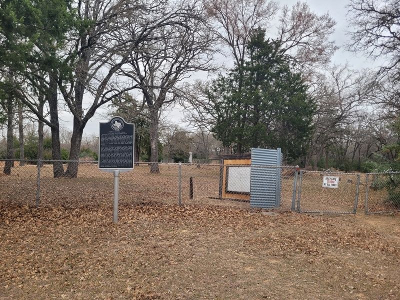
The view of the entrance to the cemetery.
Other nearby markers. At least 8 other markers are within 8 miles of this marker, measured as the crow flies: Thornton Schools (approx. 3.3 miles away); Eaton Cemetery (approx. 3.9 miles away); Cobb Cemetery (approx. 4.7 miles away); Odds Community (approx. 5.7 miles away); Brown Family Cemetery (approx. 7.2 miles away); Bassett House (approx. 7.2 miles away); Charles Q. Haley (approx. 7.7 miles away); Washington High School (approx. 7.9 miles away). Touch for a list and map of all markers in Thornton.
Photographed by James Hulse, February 10, 2026
3. Tidwell (Steele Creek) Cemetery and Community Marker
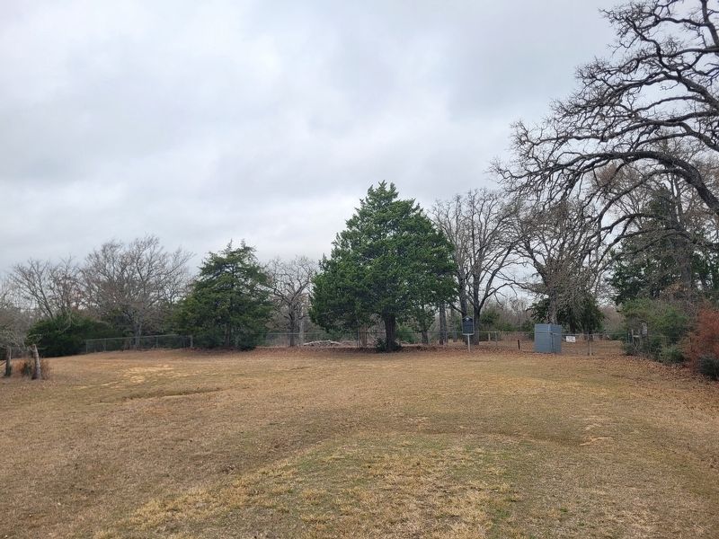
The view of the cemetery gate from the cemetery road.
Credits. This page was last revised on February 12, 2026. It was originally submitted on February 12, 2026, by James Hulse of Medina, Texas. This page has been viewed 54 times since then. Photos: 1, 2, 3. submitted on February 12, 2026, by James Hulse of Medina, Texas.
