Placerville in San Miguel County, Colorado — The American Mountains (Southwest)
Dedication to the Utes (Nuche)
Photographed by Cosmos Mariner, July 18, 2025
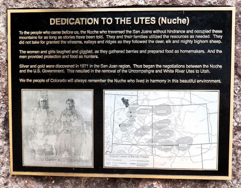
1. Dedication to the Utes (Nuche) Marker
The people who came before us, the Nuche who traversed the San Juans without hindrance and occupied these mountains for as long as stories have been told. They and their families utilized the resources as needed. They did not take for granted the streams, valleys and ridges as they followed the deer, elk and mighty bighorn sheep.
The women and girls laughed and giggled, as they gathered berries and prepared food as homemakers. And the men provided protection and food as hunters.
Silver and gold were discovered in 1871 in the San Juan region. Thus began the negotiations between the Nuche and the U.S. Government. This resulted in the removal of the Uncompahgre and White River Utes to Utah.
We the people of Colorado will always remember the Nuche who lived in harmony in this beautiful environment.
Topics. This historical marker is listed in this topic list: Indigenous Peoples and Communities. A significant historical year for this entry is 1871.
Location. 38° 1.094′ N, 108° 3.262′ W. Marker is in Placerville, Colorado, in San Miguel County. It is on Front Street 0.1 miles north of Geyser Drive, on the left when traveling north.
this page online

Regionally, this marker is in the Western Slope. It is also in the American Mountain West, on the Colorado Plateau, and at the Four Corners. Globally, it is in North America, the Rocky Mountains, the Western Hemisphere, the Western World, and the Anglosphere. Historically, it finds itself in what was once Mexico’s Alta California.
Other nearby markers. At least 4 other markers are within 11 miles of this marker, measured as the crow flies: Flushing Out the Gold (approx. 10.6 miles away); Hear that Lonesome Whistle Blow (approx. 10.6 miles away); San Miguel Valley Bank Robbery (approx. 10.6 miles away); a different marker also named San Miguel Valley Bank Robbery (approx. 10.6 miles away).
Also see . . . San Juan County Colorado Gold Production (Western Mining History).
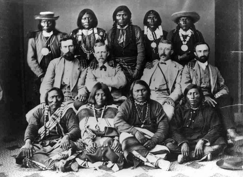
(By A. H. Koschmann and M. H. Bergendahl - USGS 1968) Excerpt: Some prospecting in the(Submitted on February 17, 2026, by Cosmos Mariner of Cape Canaveral, Florida.)county was carried on in the 1860's, and the first gold ore was mined in 1870 while the region was still part of the Ute Indian Reservation. The main rush to the region did not begin until 1874, after a treaty with the Ute Indians opened the region to settlement. About 2,000 men came into the district during the summer of 1874, and at least that many claims were staked.18732. Ouray, Ute subchiefs, and agents in Washington, DC after conclusion of the 1873 Brunot AgreementFront row, left to right: Guero, Chipeta, Ouray, and Piah; second row: Uriah M. Curtis, James B. Thompson, Charles Adams, and Otto Mears; back row: Washington, Susan (Ouray’s sister), Johnson, Jack, and John.
History Colorado website entry
Click for more information.
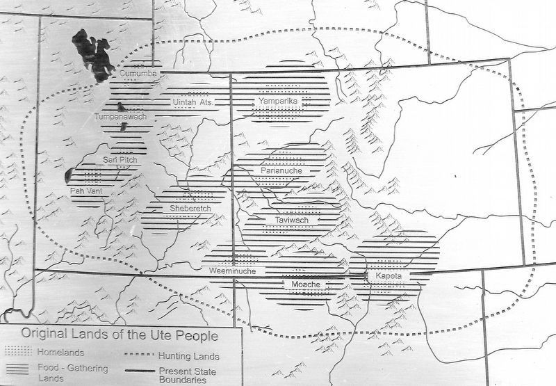
3. Marker detail: Original Lands of the Ute People
Photographed by Cosmos Mariner, July 18, 2025
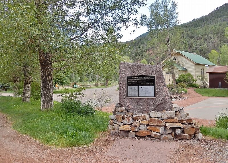
4. Dedication to the Utes (Nuche) Marker
Looking south from Front Street. The historic Placerville School building is in the background.
Credits. This page was last revised on September 15, 2026. It was originally submitted on February 13, 2026, by Cosmos Mariner of Cape Canaveral, Florida. This page has been viewed 30 times since then. Photos: 1, 2, 3, 4. submitted on February 17, 2026, by Cosmos Mariner of Cape Canaveral, Florida.
