Near Thornton in Limestone County, Texas — The American South (West South Central)
McKenzie Cemetery

Photographed by James Hulse, February 13, 2026
1. McKenzie Cemetery Marker
Erected 1995 by Texas Historical Commission. (Marker Number 3298.)
Topics. This historical marker is listed in these topic lists: Cemeteries & Burial Sites • Settlements & Settlers. A significant historical year for this entry is 1853.
Location. 31° 21.322′ N, 96° 21.048′ W. Marker is near Thornton, Texas, in Limestone County. It is on County Road 742 half a mile north of County Road 740. Touch for map. Marker is at or near this postal address: 350 Lcr 742, Thornton TX 76687, United States of America. Touch for directions.

Regionally, this marker is in the Prairies
this page online
Other nearby markers. At least 8 other markers are within 6 miles of this marker, measured as the crow flies: Sansom/Wedgman Cemetery (approx. one mile away); Sansom Cemetery (approx. one mile away); a different marker also named Sansom Cemetery (approx. one mile away); John Sadler (approx. 2½ miles away); Ferguson Cemetery (approx. 2½ miles away); Site of Oletha Common School (approx. 3.8 miles away); Old Union Community (approx. 4.8 miles away); Site of Old Potter's Shop (approx. 5.3 miles away). Touch for a list and map of all markers in Thornton.

Photographed by James Hulse, February 13, 2026
2. McKenzie Cemetery and Marker
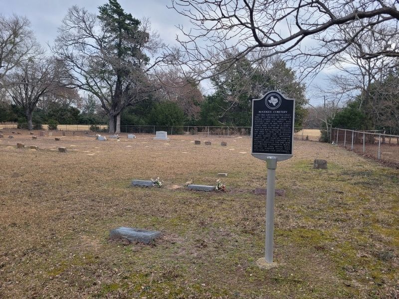
Photographed by James Hulse, February 13, 2026
3. McKenzie Cemetery Marker
The view of the marker in the cemetery.

Photographed by James Hulse, February 13, 2026
4. McKenzie Cemetery Marker
The view of the front of the cemetery from the access road.
Credits. This page was last revised on February 14, 2026. It was originally submitted on February 14, 2026, by James Hulse of Medina, Texas. This page has been viewed 56 times since then. Photos: 1, 2, 3, 4. submitted on February 14, 2026, by James Hulse of Medina, Texas.
