Near Thornton in Limestone County, Texas — The American South (West South Central)
Sansom/Wedgman Cemetery
Photographed by James Hulse, February 13, 2026
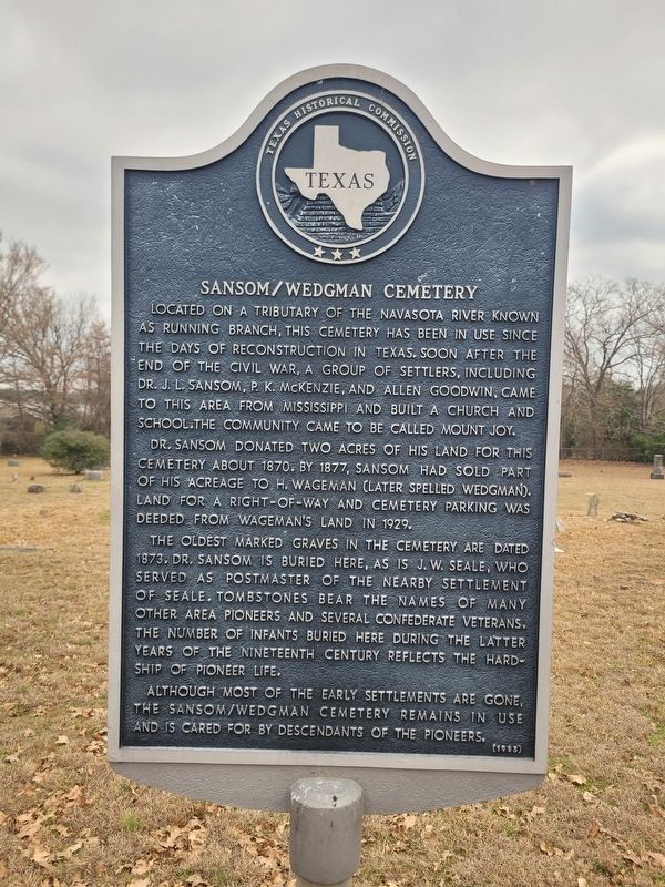
1. Sansom/Wedgman Cemetery Marker
Dr. Sansom donated two acres of his land for this cemetery about 1870. By 1877, Sansom had sold part of his acreage to H. Wageman (later spelled Wedgman). Land for a right-of-way and cemetery parking was deeded from Wageman's land in 1929.
The oldest marked graves in the cemetery are dated 1873. Dr. Sansom is buried here, as is J. W. Seale, who served as postmaster of the nearby settlement of Seale. Tombstones bear the names of many other area pioneers and several Confederate veterans. The number of infants buried here during the latter years of the nineteenth century reflects the hardship of pioneer life.
Although most of the early settlements are gone, the Sansom/Wedgman Cemetery remains in use and is cared for by descendants of the pioneers.
Erected 1985
this page online
Topics. This historical marker is listed in these topic lists: Cemeteries & Burial Sites • Settlements & Settlers. A significant historical year for this entry is 1870.
Location. 31° 20.644′ N, 96° 21.646′ W. Marker is near Thornton, Texas, in Limestone County. It is on Sansom Cemetery Road (County Road 735) one mile north of Sterling Robertson Dam Rd, on the right when traveling north. Touch for map. Marker is at or near this postal address: 409 Lcr 735, Thornton TX 76687, United States of America. Touch for directions.

Regionally, this marker is in the Prairies & Lakes Region. It is also in the American South. Globally, it is in North America, a Gulf of Mexico state, the Western Hemisphere, the Western World, and the Anglosphere. Historically, it finds itself in what was once New Spain, the Republic of Texas, one of the Confederate States of America, and the Antebellum South.
Other nearby markers. At least 8 other markers are within 5 miles of this marker, measured as the crow flies: Sansom Cemetery (here, next to this marker); a different marker also named Sansom Cemetery
Photographed by James Hulse, February 13, 2026
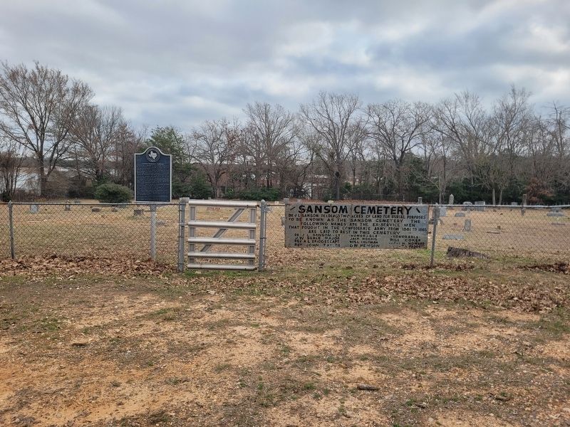
2. Sansom/Wedgman Cemetery Marker
The marker is located on the left side of the entrance.
Photographed by James Hulse, February 13, 2026
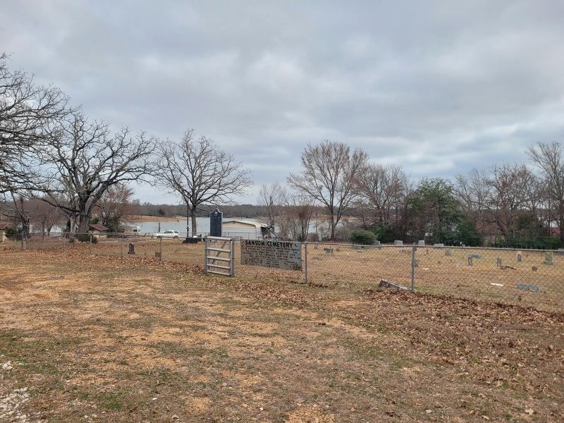
3. Sansom/Wedgman Cemetery Marker
The view of the marker, cemetery and lake.
Credits. This page was last revised on February 14, 2026. It was originally submitted on February 14, 2026, by James Hulse of Medina, Texas. This page has been viewed 54 times since then. Photos: 1, 2, 3. submitted on February 14, 2026, by James Hulse of Medina, Texas.
