
El Asintal, Retalhuleu, Guatemala — Central America
Estación Mapa del Sitio
Station: Site Map
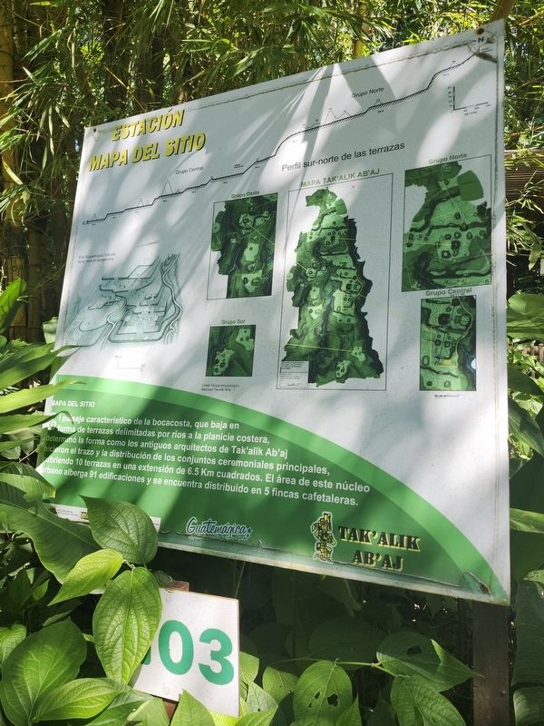
Photographed by J. Makali Bruton, December 27, 2025
1. Estacion Mapa del Sitio Marker

The characteristic landscape of the coastal foothills, which descends in the form of terraces bounded by rivers to the coastal plain, determined the way the ancient architects of Tak'alik Ab'aj laid out and distributed the main ceremonial complexes, covering 10 terraces over an area of 6.5 square kilometers. The area of this urban core contains 91 buildings and is spread across 5 coffee farms. (Marker Number 3.)
Topics. This historical marker is listed in this topic list: Anthropology & Archaeology.
Location. 14° 38.2′ N, 91° 43.94′ W. Marker is in El Asintal, Retalhuleu. It is on RD-REU-13, on the left when traveling
this page online

Regionally, it is in North America, specifically in Central America, in Mesoamerica, on the Ring of Fire, on the Pacific Rim, and in the Western Hemisphere. Historically, it finds itself in what was once New Spain and also a Spanish colony.
Other nearby markers. At least 8 other markers are within walking distance of this marker: Estación Recorrido (within shouting distance of this marker); Estación Guacalitos (about 90 meters away); Estación Entierro No. 2 (about 120 meters away); Tanmi Tnam Plaza (about 150 meters away); Sweat Lodge (about 150 meters away); Piecitos Station (about 150 meters away); Plaza Tukur Balam (about 150 meters away); Structure 11 (about 180 meters away). Touch for a list and map of all markers in El Asintal.
Another marker is no longer nearby. Guacalitos Station (was about 90 meters away, measured in a direct line but has been permanently removed).
More about this marker. The marker is located near the northeast area of the parking lot at the archaeological site.
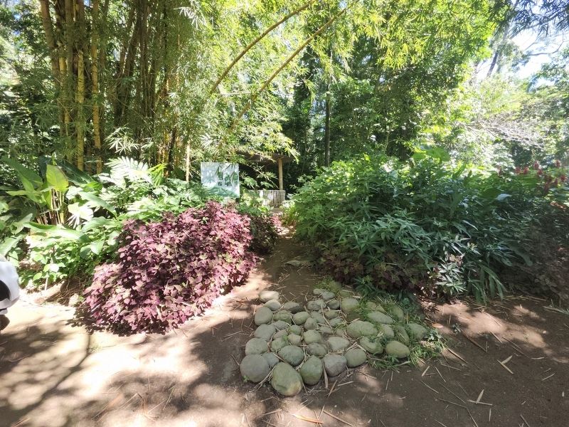
Photographed by J. Makali Bruton, December 27, 2025
2. Estación Mapa del Sitio Marker
Credits. This page was last revised on April 20, 2026. It was originally submitted on February 16, 2026, by J. Makali Bruton of Washington, District of Columbia. This page has been viewed 48 times since then. Photos: 1, 2. submitted on February 16, 2026, by J. Makali Bruton of Washington, District of Columbia.
