Near Rice in Amelia County, Virginia — The American South (Mid-Atlantic)
General Wheaton's First Division Assault
| — | Sailor's Creek Battlefield Historical State Park | — |
Photographed by Evan Dwyer, February 7, 2026
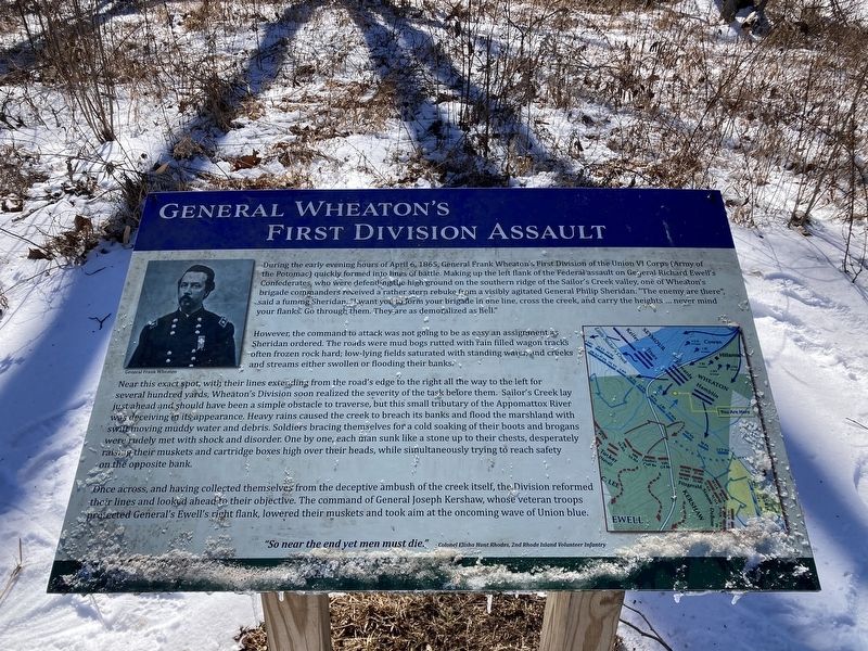
1. General Wheaton's First Division Assault Marker
However, the command to attack was not going to be as easy an assignment as Sheridan ordered. The roads were mud bogs rutted with rain filled wagon tracks often frozen rock hard; low-lying fields saturated with standing water, and creeks and streams either swollen or flooding their banks.
Near this exact spot, with their lines extending from the road's edge to the right all the way to the left for several hundred yards, Wheaton's Division soon realized
this page online
Once across, and having collected themselves from the deceptive ambush of the creek itself, the Division reformed their lines and looked ahead to their objective. The command of General Joseph Kershaw, whose veteran troops protected General's Ewell's right flank, lowered their muskets and took aim at the oncombing wave of Union blue.
"So near the end yet men must die." - Colonel Elisha Hunt Rhodes, 2nd Rhode Island Volunteer Infantry
Erected by Sailor's Creek Battlefield Historical State Park.
Topics.
Photographed by Evan Dwyer, February 7, 2026
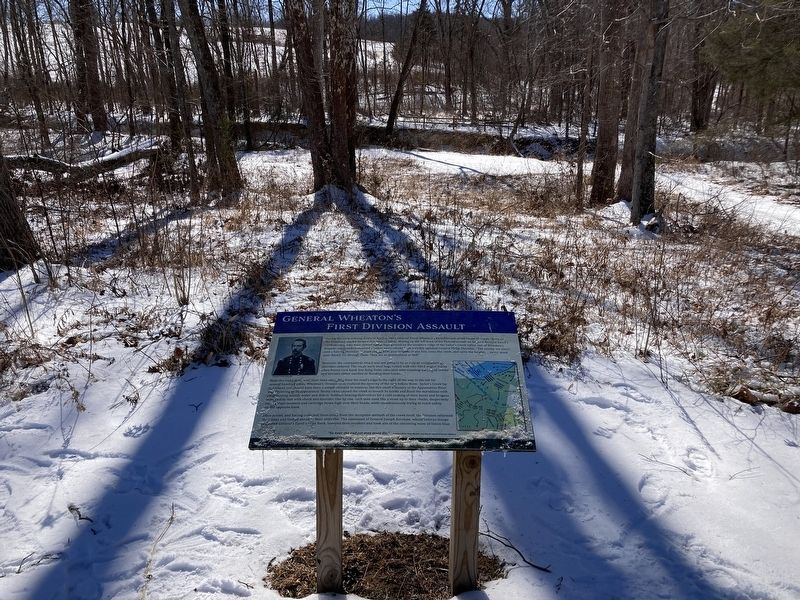
2. General Wheaton's First Division Assault Marker
Sailor's Creek is just beyond the marker. The Confederates were positioned on the top of the hill at upper left, visible through the trees.
Location. 37° 18.464′ N, 78° 13.596′ W. Marker is near Rice, Virginia, in Amelia County. It can be reached from Sayler's Creek Road one mile west of James Town Road, on the left when traveling west. Marker is at the Overton/Hillsman House driving tour stop within Sailor's Creek Battlefield State Park, on the Wheaton Trail. Touch for map. Marker is at or near this postal address: 7451 Sayler's Creek Road, Rice VA 23966, United States of America. Touch for directions.

Regionally, this marker is in the Piedmont and in Central Virginia. It is also in the American South and specifically in the Upper South. Globally, it is in North America, the Western Hemisphere, the Western World, and the Anglosphere. Historically, it finds itself in what was once the territory of the Mississippian Culture, one of the original Thirteen Colonies, one of the Confederate States of America, and the Antebellum South.
Other nearby markers. At least 8 other markers are within 2 miles of this marker, measured as the crow flies: Rock Formations At Sailor's Creek
Photographed by Evan Dwyer, February 7, 2026
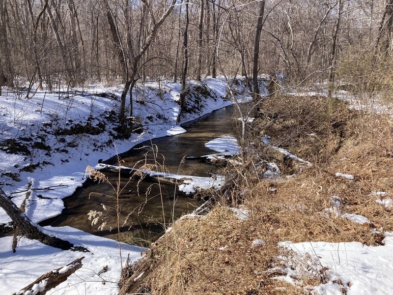
3. Sailor's Creek
Seen from the bottom apex of the Wheaton Trail.
Other markers no longer nearby. Crossing Little Sailor's Creek (was about 400 feet away, measured in a direct line but has been permanently removed); Assaulting the Confederate Battle Line (was approx. 0.2 miles away but has been permanently removed); The Final Clash: With Fate Against Them (was approx. ¼ mile away but has been permanently removed); Overton/Hillsman House (was approx. 0.3 miles away but has been replaced with another marker now near it); Ewell’s Line of Defense (was approx. 0.3 miles away but has been permanently removed); Victory or Death (was approx. 0.4 miles away but has been permanently removed); Hillsman House (was approx. 0.4 miles away but has been permanently removed); Holt’s Corner (was approx. 1.2 miles away but has been permanently removed).
Also see . . . Sailor's Creek Battlefield State Park. Virginia State Parks, DCR (Submitted on February 20, 2026.)
Credits. This page was last revised on February 20, 2026. It was originally submitted on February 20, 2026, by Evan Dwyer of Richmond, Virginia. This page has been viewed 73 times since then. Photos: 1, 2, 3. submitted on February 20, 2026, by Evan Dwyer of Richmond, Virginia. • Bernard Fisher was the editor who published this page.
