Princeton in Jackson County, Alabama — The American South (East South Central)
Russell William Clay Cemetery
Jackson County
Photographed by Jimmy Emerson, February 21, 2026
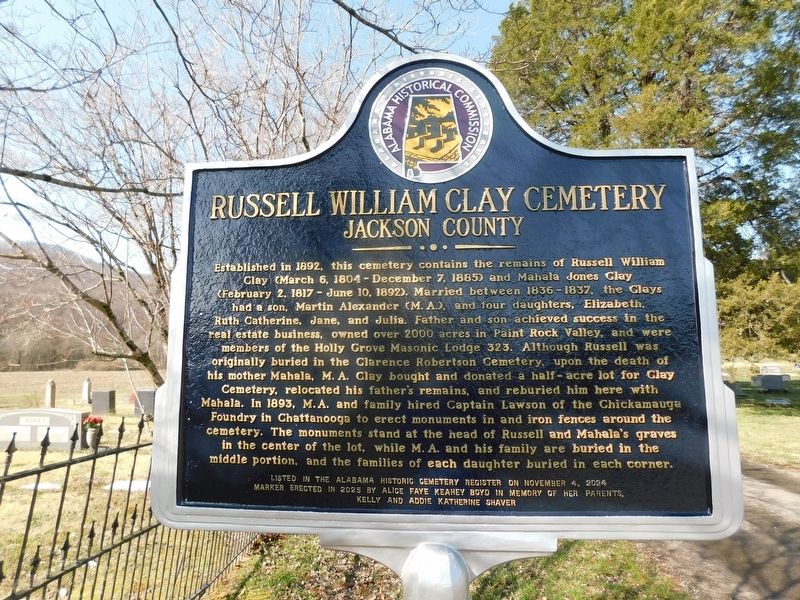
1. Russell William Clay Cemetery Marker
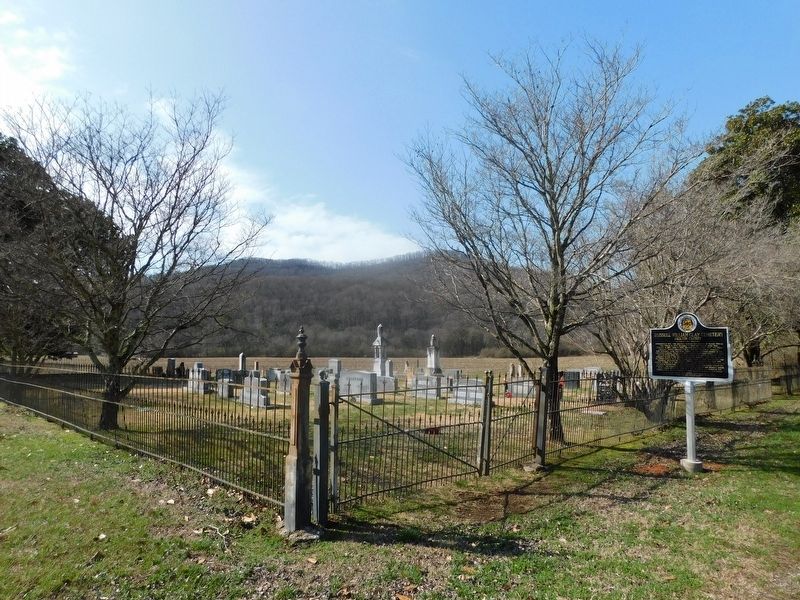
Established in 1892, this cemetery contains the remains of Russell William Clay (March 6, 1804 - December 7, 1885) and Mahala Jones Clay (February 2, 1817 - June 10, 1892). Married between 1836-1837, the Clays had a son, Martin Alexander (M.A.), and four daughters, Elizabeth, Ruth Catherine, Jane, and Julia. Father and son achieved success in the real estate business, owned over 2000 acres in Paint Rock Valley, and were members of the Holly Grove Masonic Lodge 323. Although Russell was originally buried in the Clarence Robertson Cemetery, upon the death of his mother Mahala, M.A. Clay bought and donated a half-acre lot for Clay Cemetery, relocated his father's remains, and reburied him here with Mahala. In 1893, M.A. and family hired Captain Lawson of the Chickamauga Foundry in Chattanooga to erect monuments in and iron fences around the cemetery. The monuments stand at the head of Russell and Mahala's graves in the center of the lot, while M.A. and his family are buried in the middle portion, and the families of each daughter buried in each corner.
Erected 2025
this page online
Topics. This historical marker is listed in this topic list: Cemeteries & Burial Sites. A significant historical year for this entry is 1892.
Location. 34° 50.814′ N, 86° 14.683′ W. Marker is in Princeton, Alabama, in Jackson County. It is on County Road 509 west of County Road 3, on the left when traveling west. Touch for map. Marker is in this post office area: Princeton AL 35766, United States of America. Touch for directions.

Regionally, this marker is in North Alabama. It is also in the American South, specifically in the Deep South, in Appalachia, and specifically in Southern Appalachia. Globally, it is in North America, a Gulf of Mexico state, the Western Hemisphere, the Western World, and the Anglosphere. Historically, it finds itself in what was once the original Cherokee Nation, the territory of the Mississippian Culture, one of the Confederate States of America, and the Antebellum South.
Other nearby markers. At least 8 other markers are within 12 miles of this marker, measured as the crow flies:
Photographed by Jimmy Emerson, February 21, 2026
2. Russell William Clay Cemetery & Marker
Credits. This page was last revised on February 22, 2026. It was originally submitted on February 22, 2026, by Jimmy Emerson of Dalton, Georgia. This page has been viewed 40 times since then. Photos: 1, 2. submitted on February 22, 2026, by Jimmy Emerson of Dalton, Georgia. • James Hulse was the editor who published this page.
