Carmichael in Sacramento County, California — The American West (Pacific Coastal)
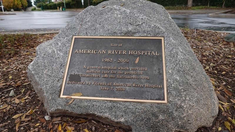
Site of American River Hospital
Photographed by David Safdy, November 30, 2025
1. Site of American River Hospital Marker
Site of American River Hospital
1962-2000
A general hospital which provided medical care for the people of Carmichael and the Sacramento area.
Dedicated by Friends of the American River Hospital
June 7, 2008
Erected 2008 by Friends of the American River Hospital.
Topics. This historical marker is listed in this topic list: Science & Medicine.
Location. 38° 38.129′ N, 121° 21.3′ W. Marker is in Carmichael, California, in Sacramento County. It is at the intersection of Gibbons Drive and Gibbons Parkway, on the right when traveling east on Gibbons Drive. Across the street from the Gibbons Park Community Center. Touch for map. Marker is in this post office area: Carmichael CA 95608, United States of America. Touch for directions.

Regionally, this marker is in Sacramento Metro, in the Sacramento Valley, and specifically in the Central Valley. It is also on the American Pacific Coast. Globally, it is in North America, on the Ring of Fire, on the Pacific Rim, in the Western Hemisphere, in the Western World, and in the Anglosphere. Historically, it finds
this page online
Other nearby markers. At least 8 other markers are within 3 miles of this marker, measured as the crow flies: Walerga Assembly Center (approx. 2.3 miles away); Firehouse (approx. 2.4 miles away); Bachelors' Barracks and Post Exchange (approx. 2.4 miles away); Rapid Area Maintenance Team (approx. 2.4 miles away); Base Hospital (approx. 2½ miles away); McClellan Air Force Base (approx. 2½ miles away); a different marker also named McClellan Air Force Base (approx. 2½ miles away); Base Headquarters (approx. 2½ miles away).
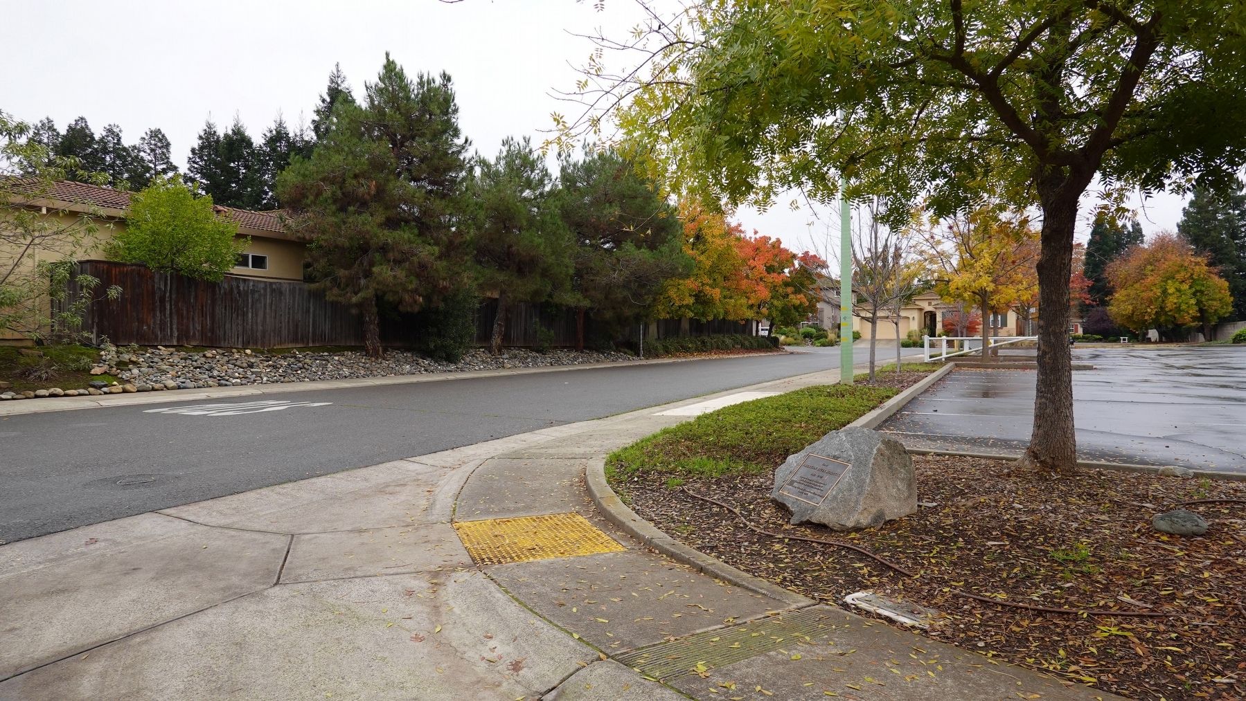
More about this marker. The hospital was located between Engle Rd. and Gibbons Dr. This area is now a residential neighborhood.
Photographed by David Safdy, November 30, 2025
2. Looking southeast at the marker towards where the hospital used to be.
Credits. This page was last revised on February 23, 2026. It was originally submitted on February 22, 2026, by David Safdy of Sacramento, California. This page has been viewed 56 times since then. Photos: 1, 2. submitted on February 22, 2026, by David Safdy of Sacramento, California. • Andrew Ruppenstein was the editor who published this page.
