Chenoa in McLean County, Illinois — The American Midwest (Great Lakes)
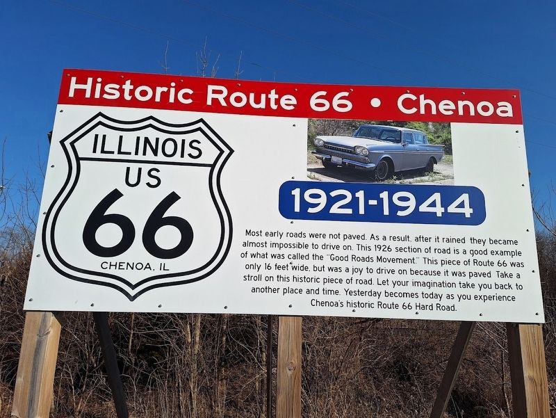
Historic Route 66 • Chenoa
1921-1944
Photographed by Jason Voigt, February 15, 2026
1. Historic Route 66 Chenoa Marker
Most early roads were not paved. As a result, after it rained they became almost impossible to drive on. This 1926 section of road is a good example of what was called the "Good Roads Movement." This piece of Route 66 was only 16 feet wide, but was a joy to drive on because it was paved. Take a stroll on this historic piece of road. Let your imagination take you back to another place and time. Yesterday becomes today as you experience Chenoa's historic Route 66 Hard Road.
Topics and series. This historical marker is listed in this topic list: Roads & Vehicles. In addition, it is included in the U.S. Route 66 series list. A significant historical year for this entry is 1926.
Location. 40° 44.478′ N, 88° 43.388′ W. Marker is in Chenoa, Illinois, in McLean County. It is at the intersection of East Cemetery Avenue (U.S. 24) and South Morehead Street, on the right when traveling east on East Cemetery Avenue. Touch for map. Marker is at or near this postal address: 102 E Cemetery Ave, Chenoa IL 61726, United States of America. Touch for directions.

Regionally, this marker is in Central Illinois. It is also in the American
this page online
Other nearby markers. At least 8 other markers are within 9 miles of this marker, measured as the crow flies: In Memory of Maude Henline (approx. 0.2 miles away); Route 66 Fetch & Stretch Dog Park (approx. 0.4 miles away); Matthew T. Scott (approx. half a mile away); "Memory Lane" (approx. 6.9 miles away); The John Patton Cabin (approx. 7.1 miles away); David Hyatt Van Dolah House (approx. 7.8 miles away); The Motor Police (approx. 8.4 miles away); Protecting Travelers (approx. 8.4 miles away). Touch for a list and map of all markers in Chenoa.
Another marker is no longer nearby. Illinois U.S. Route 66 (was approx. 7.8 miles away but has been confirmed missing).
Photographed by Jason Voigt, February 15, 2026
2. Historic Route 66 • Chenoa Marker
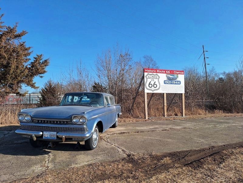
marker is on old Route 66 road bed with an antique classic car
Photographed by Jason Voigt, February 15, 2026
3. Historic Route 66 • Chenoa Marker
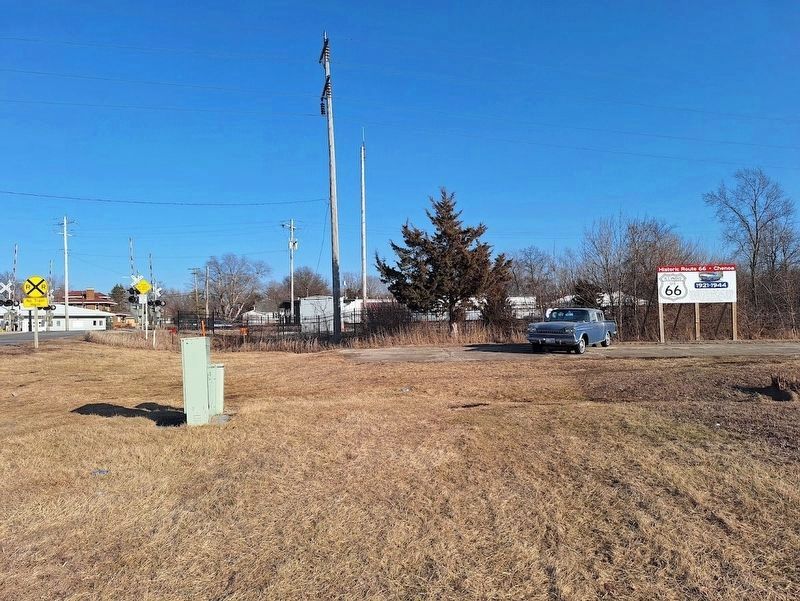
view from US 24, looking east
Credits. This page was last revised on February 22, 2026. It was originally submitted on February 22, 2026, by Jason Voigt of Glen Carbon, Illinois. This page has been viewed 63 times since then. Photos: 1, 2, 3. submitted on February 22, 2026, by Jason Voigt of Glen Carbon, Illinois.
