Towanda in McLean County, Illinois — The American Midwest (Great Lakes)
Fern's Cafe
Photographed by Jason Voigt, February 16, 2026
1. Fern's Cafe Marker
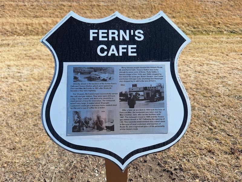
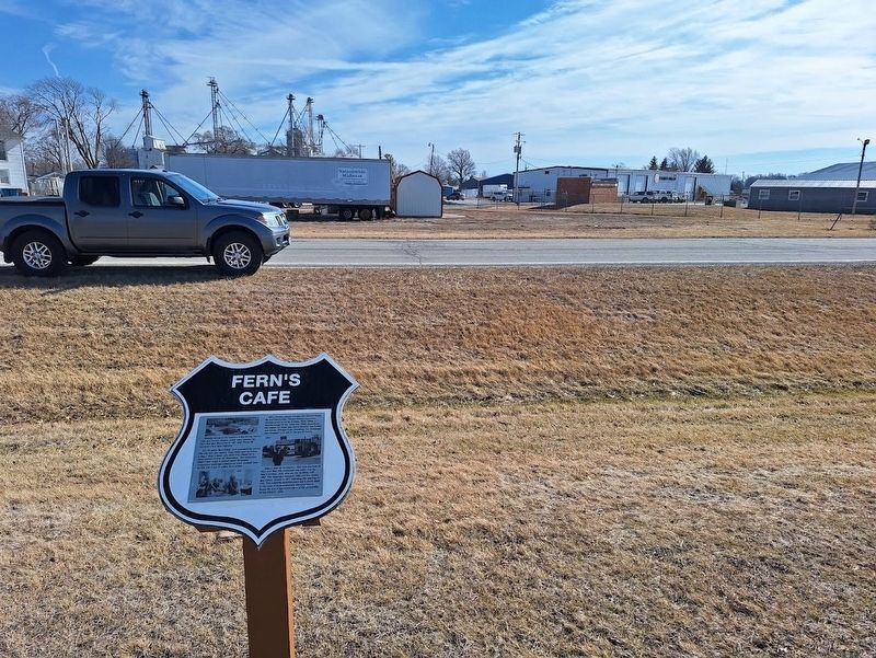
Directly ahead is the location of the former Fern's Café and Texaco Station which were opened by Fern and Mac McCurdie in 1951 after Route 66 became a four lane highway.
For 18 years, McCurdies have successfully owned the café and gas station. They were open 24 hours a day, 7 days a week, and were only closed for a short period of time for renovation. The restaurant wasn't very large; it seated about 30 people. Customers could get a delicious home cooked meal for 85 cents and a cup of coffee for a nickel.
Many famous people traveled the Historic Route 66, and Fern's Café/Texaco Station was lucky enough to serve some of these. Rudy Vallee, a famous singer of the 1930s and 1940s stopped by the station for some gas. Boxer Smokin' Joe Frazier and former Chicago Cubs shortstop Don Kessinger also stopped by to add to the lore of Fern's.
After a fatal car accident in 1955 took the lives of Fern and Mac, the restaurant was taken over by Mac's brother, Jack, who ran the facilities until 1967. The restaurant closed in 1969 and the Texaco gas station closed in 1977 following the opening of I-55. This roadside establishment
this page online
Topics and series. This historical marker is listed in these topic lists: Industry & Commerce • Roads & Vehicles. In addition, it is included in the U.S. Route 66 series list. A significant historical year for this entry is 1951.
Location. 40° 33.827′ N, 88° 54.207′ W. Marker is in Towanda, Illinois, in McLean County. It is on Old U.S. 66 south of West Monroe Street, on the right when traveling south. Touch for map. Marker is at or near this postal address: 20215 E 2050 N Rd, Towanda IL 61776, United States of America. Touch for directions.

Regionally, this marker is in Central Illinois. It is also in the American Midwest and in the Corn Belt. Globally, it is in North America, the Western Hemisphere, the Western World, and the Anglosphere. Historically, it finds itself in what was once the territory of the Mississippian Culture and also the Northwest Territory.
Other nearby markers. At least 8 other markers are within 5 miles of this marker, measured as the crow flies: Henderson's Standard
Photographed by Jason Voigt, February 16, 2026
2. Fern's Cafe Marker
Photographed by Jason Voigt, February 16, 2026
3. Fern's Cafe Marker
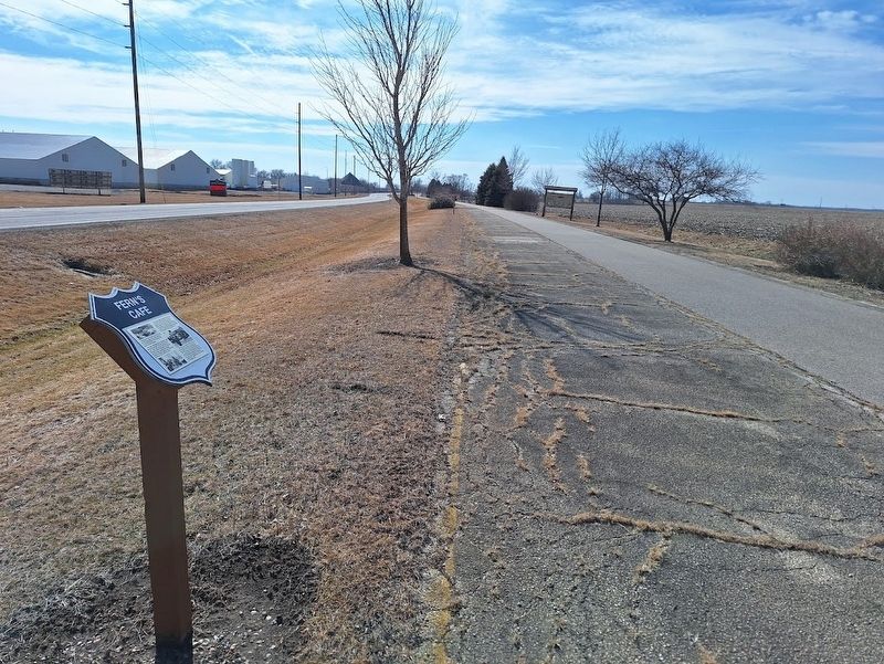
Marker is actually located off a bike trail, which mostly uses the old Route 66 road bed, paralleling with the newer alignment of Route 66.
Credits. This page was last revised on February 22, 2026. It was originally submitted on February 22, 2026, by Jason Voigt of Glen Carbon, Illinois. This page has been viewed 87 times since then. Photos: 1, 2, 3. submitted on February 22, 2026, by Jason Voigt of Glen Carbon, Illinois.
